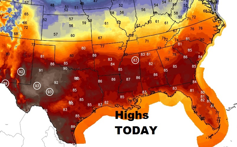
Good Morning! Maybe not a record high today, but we are in for a very warm Tuesday, more like late May. Cool front to the north will bring a big change by late week. And, we still monitoring that potent Saturday storm system for the severe weather potential. I’ll update the latest from SPC, plus an update on time of arrival of the storms. The next 2-3 weeks looks very active indeed. Here’s your 2 minute Tuesday morning personal weather briefing.
Remarkable March day. Our projected high of 86 is more like the normal high on May 21st.
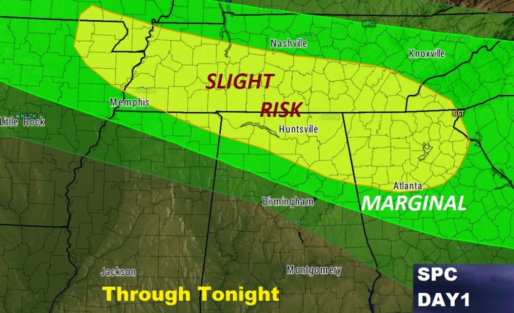
Parts of North Alabama could see some strong storms tonight, especially in the 5PM – 10PM time window. Some could be severe, according to the Storm Prediction Center.
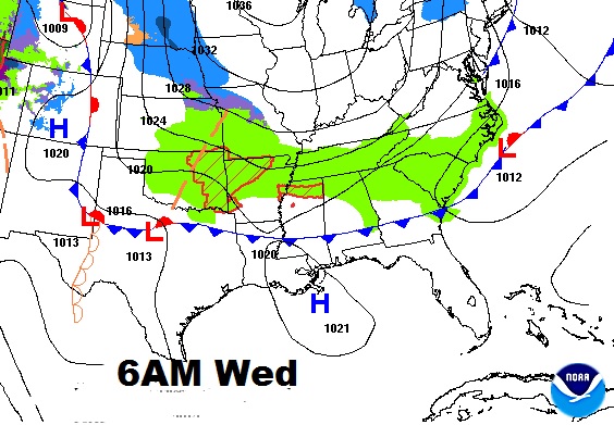
Leading edge of cooler air heads into south Alabama tomorrow. Thursday’s high may not make it out of the 60’s.
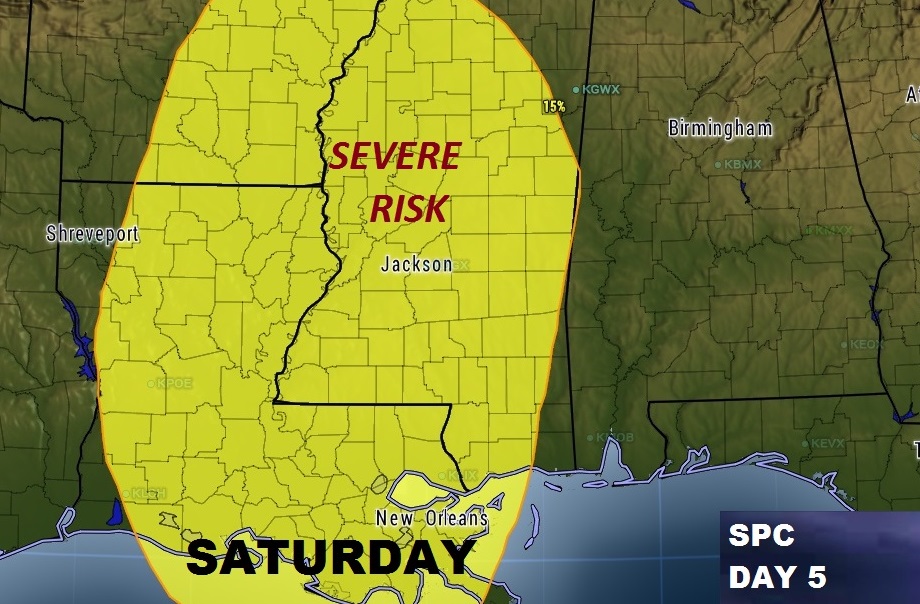
Still monitoring that potentially potent Saturday evening/Saturday night storm system which could bring strong storms to the state.
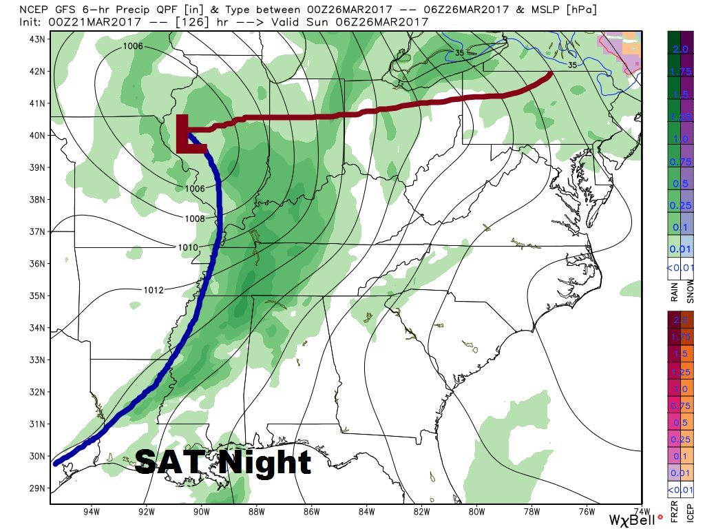
Best threat of severe weather is a little west of us on this new outlook from SPC for Saturday. This could change.