
Good Morning! We’ll be near or just shy of 90 degrees for the next couple of days, as our early summer preview continues. But now, all eyes on that important weekend front which will bring the threat of strong to severe storms to the state by Saturday evening/Saturday night. I’ll have the latest severe weather risk outlook from the Storm Prediction Center, plus we’ll look ahead to the big temperature drop behind the front. Here’s your Thursday morning personal weather briefing for the weekend ahead.
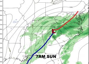
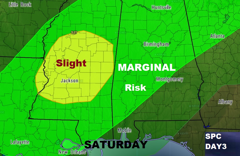
Strong cool front sweeps through the state this weekend with a line of strong to severe storms out ahead of it Saturday evening and Saturday night.
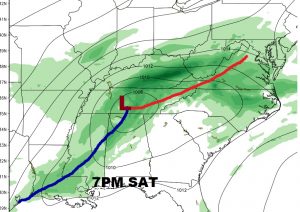
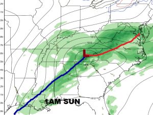
The Storm Prediction Center has placed a large part of the state in a Marginal Severe Risk for Saturday evening/Saturday night. Damaging wind gusts appears to be the main threat. The tornado threat is rather low, but not zero.
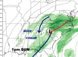
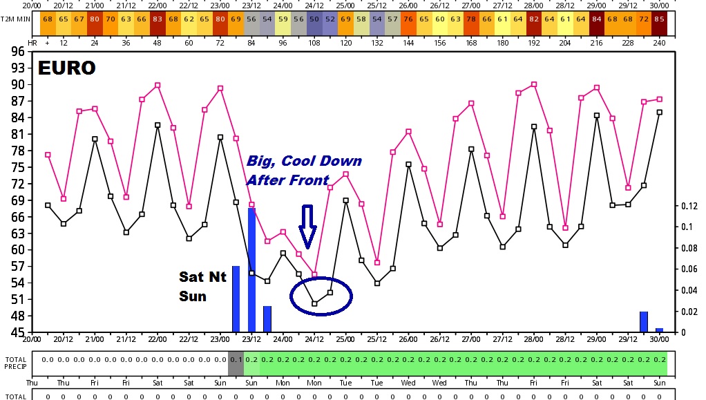
A big temperature drop follows the front. Sunday will be a breezy, much cooler day with the high struggling to reach 70. Low 50’s expected by Monday morning.
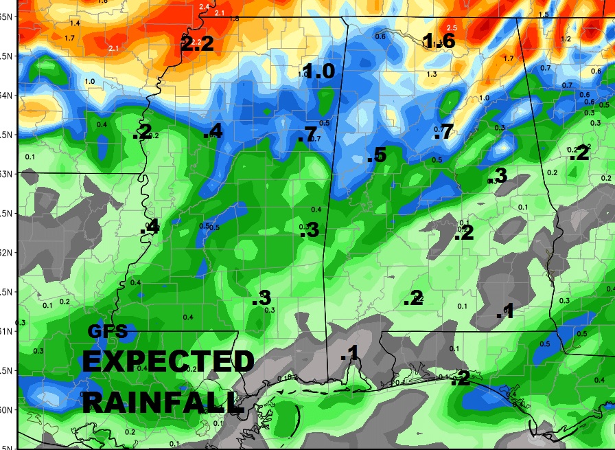
Unfortunately, no significant rainfall is expected with the front and line of storms.
A new Drought Monitor Map comes out this morning. I will tweet the new map when it comes out, and we’ll have it on the Friday morning video.