
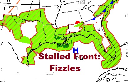
That weak front which brought strong storms to central & south Alabama yesterday, will begin to fade, as we start to settle back into a more typical summertime pattern, with fewer random storms around, and a trend to hotter temperatures again later this week.
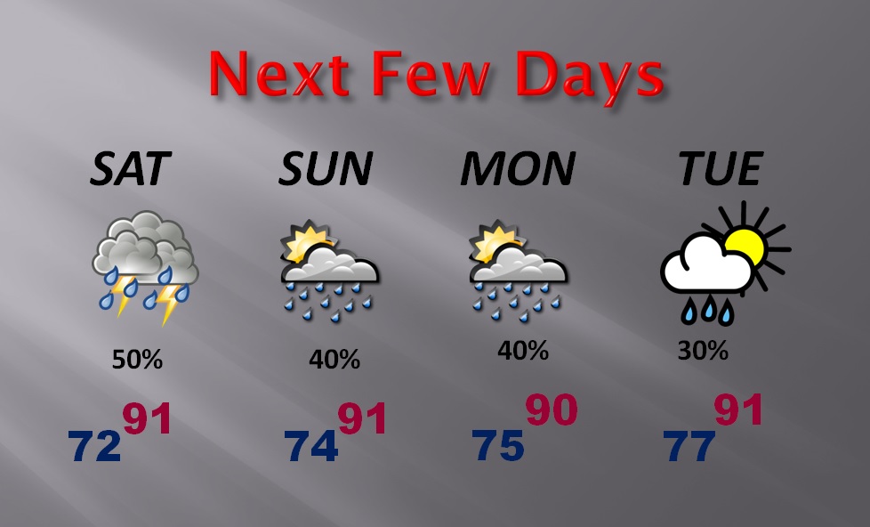
TODAY: Sun/cloud mix. Hot & humid. High 92. Scattered, random PM storms. Best chance will be from the I-85 corridor southward to the coast. Coverage roughly 30-40%. Tonight’s low 73.
NEXT FEW DAYS: Very typical for summer. PM shower threat about 30% each day. Temperatures will be hotter later in the week. I have mid 90’s again by Wednesday & Thursday. Some models are even hotter than that. Heat index back in triple digits.
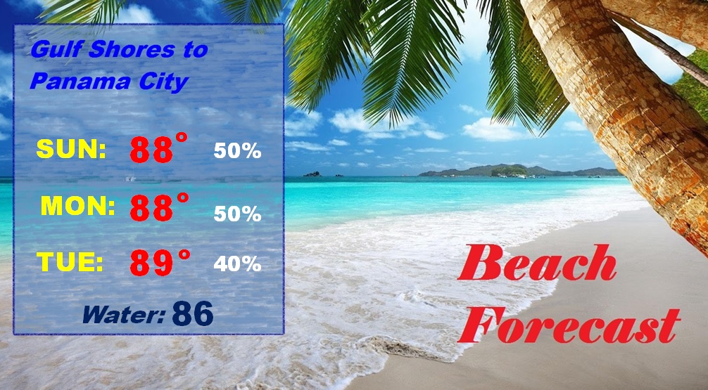
BEACH FORECAST: Very active storm pattern of the last few days will start to settle down just a bit, as daily storms start to thin out in number. Highs will be in the upper 80’s along the immediate beach. Gulf water temp. now 86.
A FEW “IN THE SKY” NOTES: The moon was full last night. In July it’s called the Full Buck moon. Sunrise this morning was at 5:45. Sunset at 7:54. Moonrise is at 8:19PM.
Next excellent evening Space Station (ISS) flyover is on July 23rd at about 8:53PM from the SW to NE. It will be very bright…and there will be a new moon that evening.
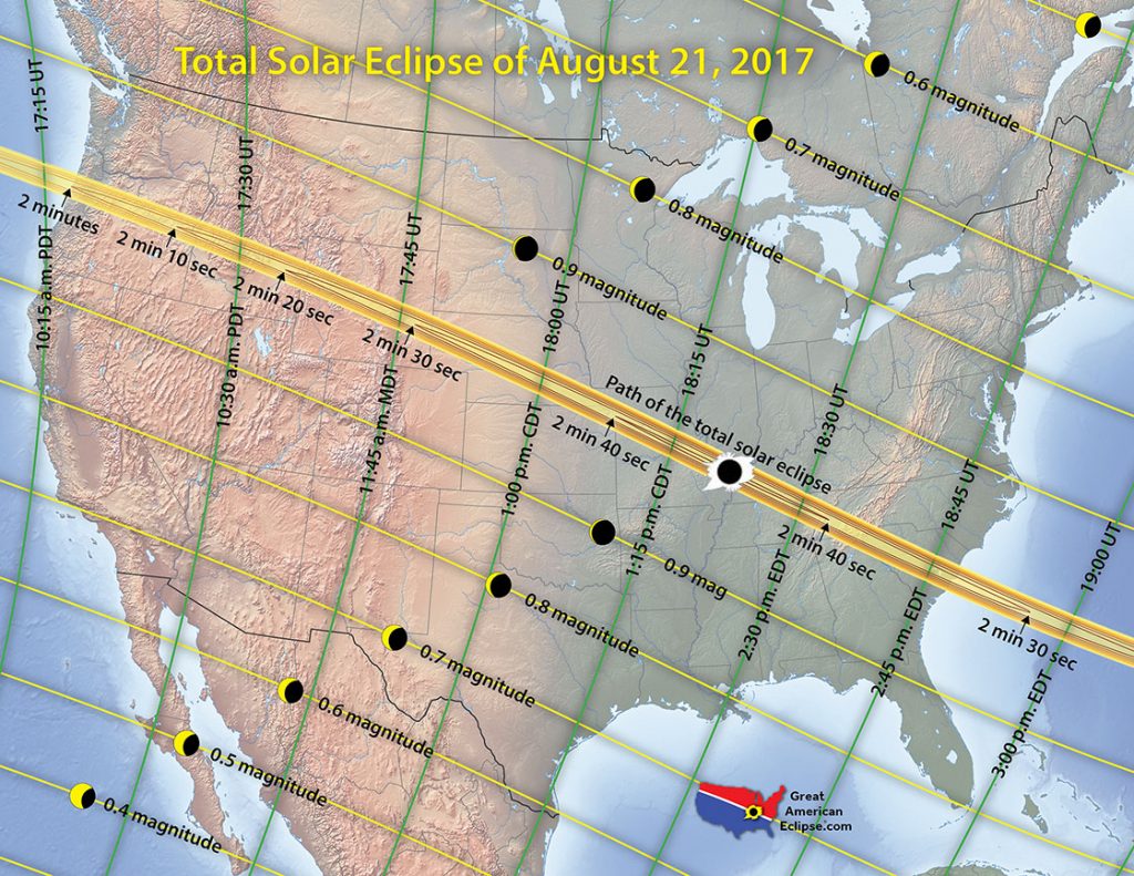
The Great American Solar Eclipse is 43 days away. (August 21) Here in central Alabama, we are not in the path of “totality”, BUT, the eclipse will be excellent … 90% of totality. In Montgomery, we will reach maximum eclipse at 1:21PM.
—
Have a great Sunday! I’ll have your next video online Monday morning at 4:45AM.
-Rich