Good Morning! Very important video this morning, and certainly worth your time. The main concern will be the arrival of Artic air as the New Year arrives. Will there be any wintry precipitation? The major models now appear to be shifting gears. I’ll explain. And, how about a second shot of even colder arctic air about a week from now. Some of the temperatures the models are showing us will raise your eyebrows. Stand by for some real-deal winter cold. I’ll do my best to break down the details, with your toast and coffee this morning, on your Thursday morning weather briefing.
Today, will be a cloudy & cold day with highs only in the mid to upper 40’s. Light rain will mainly affect the southern strip of counties today.
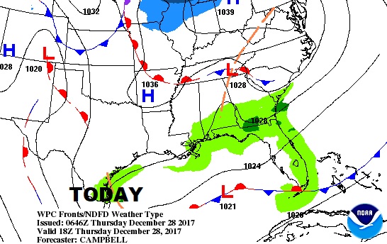
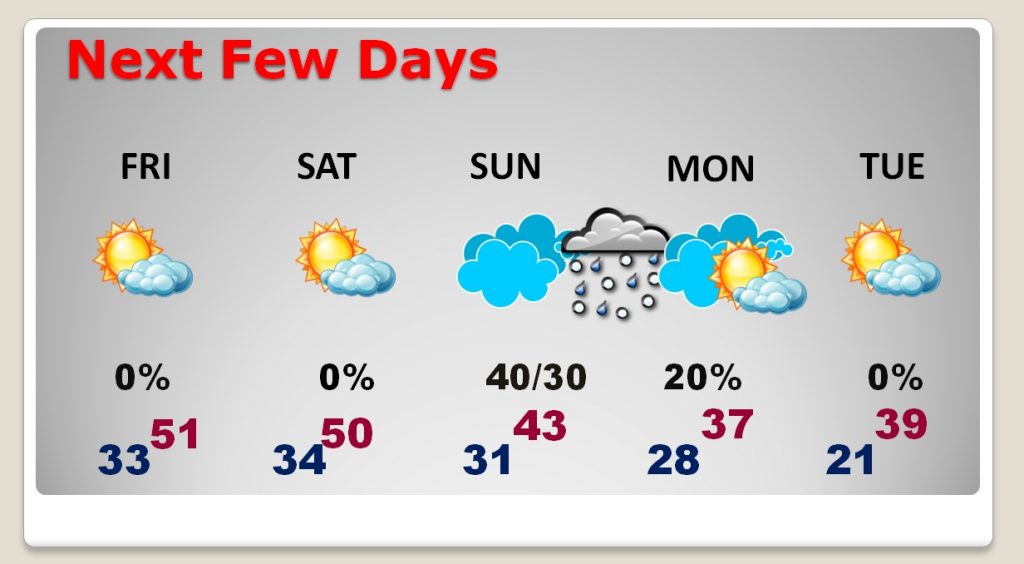
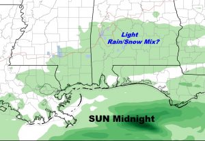
Next few days will be cold. But, even colder arctic air arrives just in time for the New Year. Still question marks about Sunday night. Could be some sort of wintry mix…perhaps, Sunday evening and Sunday night before ending by New Years morning. Models still disagree on the details.
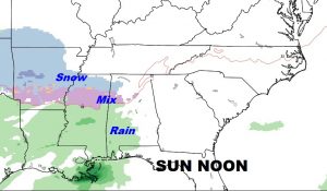
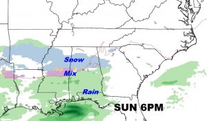
Still a mystery about the Sunday night disturbance which will brush by the state as Arctic air arrives. Will some of us see a wintry mix? This is the Euro model solution.
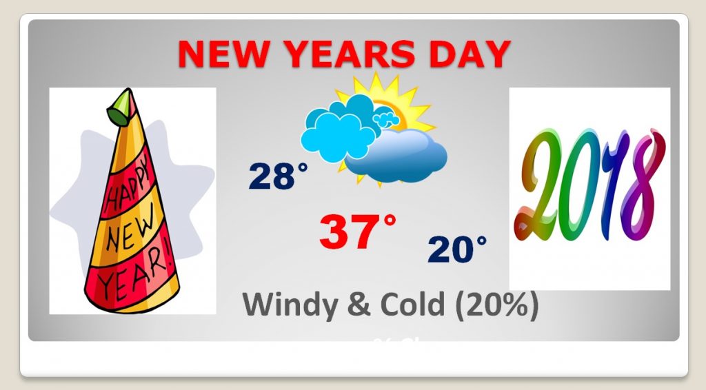
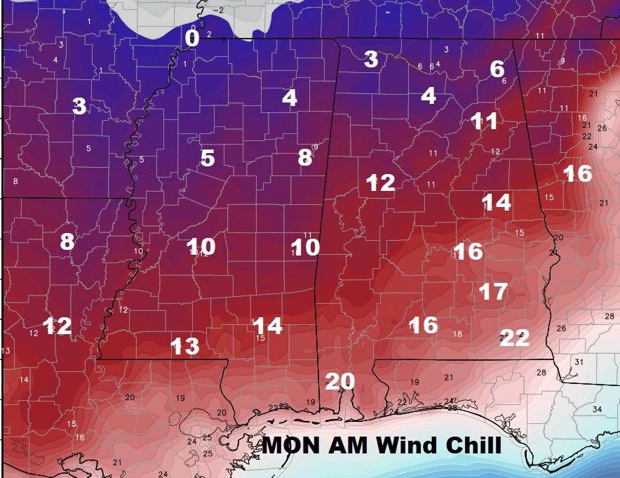
New Years Day will be a very cold day. Wind chills could be in the teens all the way into south Alabama, and single digits in the northern counties.
And hold the phone… Later on New Years week, an even colder chunk of arctic air arrives.
