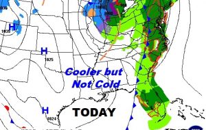
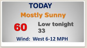
Good Morning! The front that brought localized flooding to central Alabama yesterday is gone. The air behind this front, though, is cooler not Cold. So what about the rest of the week? I’ve adjusted the highs and lows, and now we’re setting our sites on the next storm system which could affect a lot of weekend plans. How strong will this system be, and how much rain? I’ve been working the details for you and I have fresh information to share on your Tuesday morning personal weather briefing.
Cooler air behind yesterday’s cold front, but no ARCTIC air this time, fortunately…
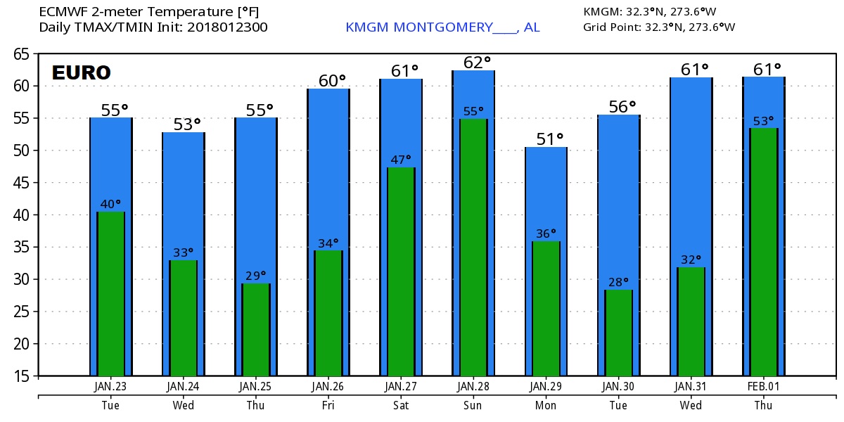
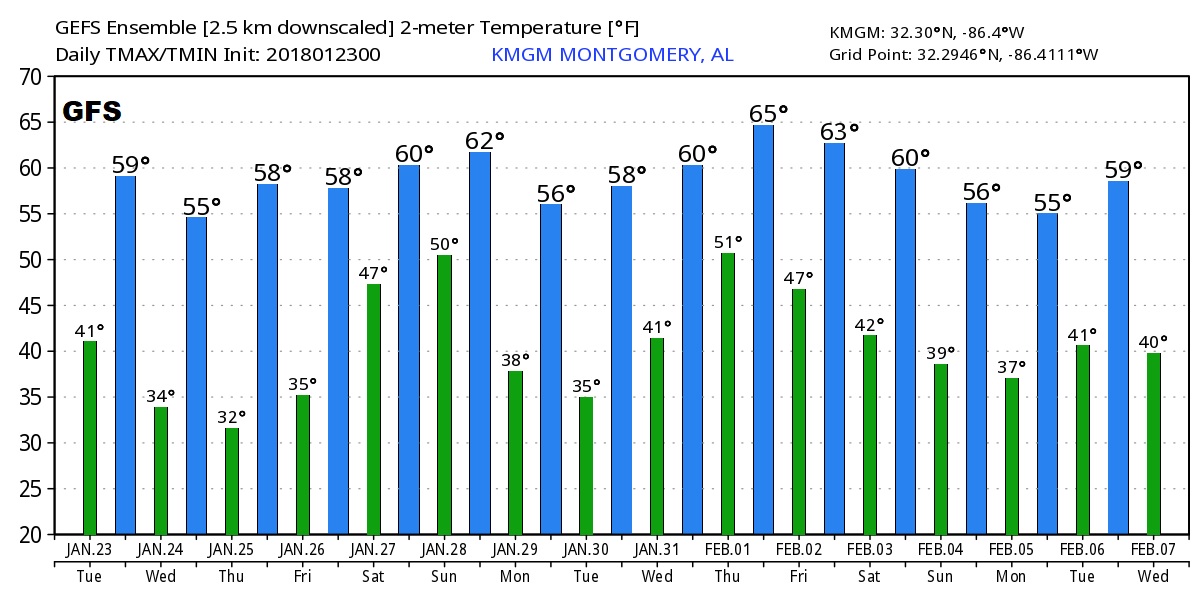
Pretty nice week ahead with fairly typical temps for January. Rain holds off until this coming weekend.
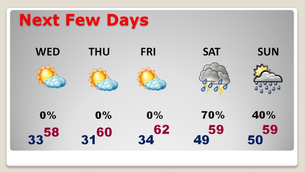
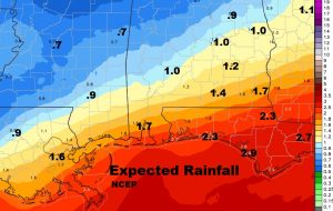
Looks like this next weekend storm system could be rather significant with soaking rain over a good part of the region, Saturday, Saturday night into Sunday.
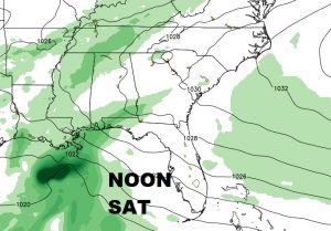
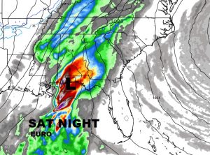
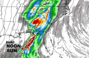
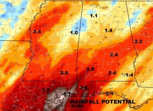
How much rain? Depends on which model you look at. The EURO model (right) is the wettest by far.
Temperature guidance from the Euro and GFS global models indicate the Arctic Floodgates should remain closed for at least the next 10-16 days.