
Scattered showers will affect a lot of plans this weekend, throughout the whole region, whether you are staying close to home, or perhaps traveling to Mobile or New Orleans for Mardi Gras festivities. Rain will drench a lot of outdoor festivals. For many of us, the most concentrated rain will be later tonight and for a good part of the day Sunday,
TODAY: Cloudy. Scattered showers from time to time. Relatively mild for January. High 62-64° East winds at 6-13 mph. Tonight’s low in the mid 50’s As you will see on Future Radar, the rain becomes more concentrated this evening and tonight.
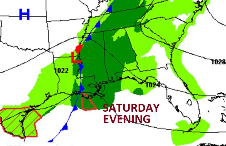
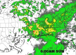
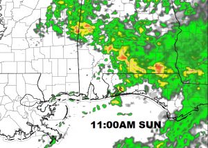
FUTURE RADAR: The radar movie loop shows scattered showers today, with the activity increasing as a concentrated band of rain overspreads the area this evening and tonight. This loop goes through 10:PM tonight.
Some of the most concentrated and heavier rain will occur in the overnight hours, and through the morning hours Sunday. Umbrellas will be needed for Church tomorrow.
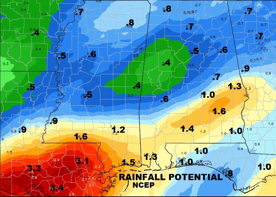
HOW MUCH RAIN?: Latest model runs are a little more generous on potential rainfall. Much of south central & south Alabama could see 1 to 1.5” By far, the heaviest amounts would be closer to the coast, and particularly from Mobile to Biloxi and back through much of Louisiana where heavy rainfall amounts are likely.
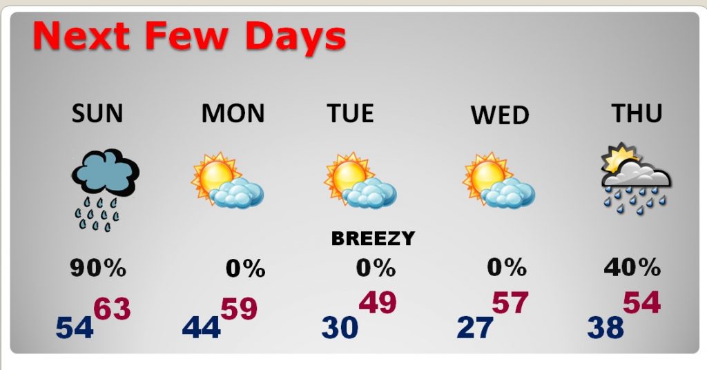
NEXT FEW DAYS: There are 2 cold fronts headed this way. First, the front on Sunday, which will bring and end to the rain, and a somewhat cooler air Monday. The second front arrives by Monday evening. The air behind it is quite chilly. That will set-up a rather raw day Tuesday and a cold Wednesday morning, before temperatures bounce back. Next storm system will be here Thursday through Friday as the month of February begins.
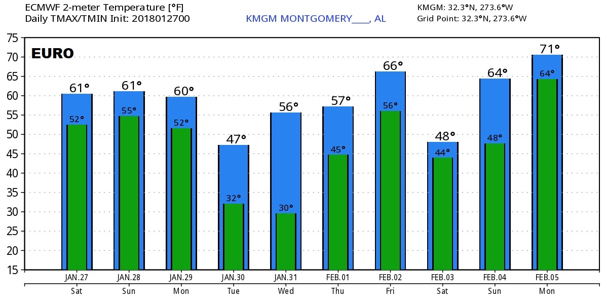
LOOKING AHEAD: Here’s a peek at the Euro global model raw temperature guidance for the next 10 days. You see two temperature “set-backs” which stick out like a sore thumb. One would be Tuesday, and another is next Saturday, February 3, behind that late week storm system. I still think at some point in early to mid February, the Arctic Express will roll back into the town for an extended stay. Stay tuned. I think it’s only a matter of when.
—
Whatever you have planned …I hope you have a nice weekend! I’ll have another blog update for you on a Wet Sunday morning, and your next complete video will be Monday morning, posted by 4:45AM. Have a good one!
-Rich