Good Morning! More fast weather changes ahead. In fact, looking down the road, there are 4 fronts in our future in next 10 days, each bringing rain, followed by sharply colder air. I’ll walk you through the updated timeline and I’ll show how much rain we can anticipate, through the weekend and beyond. Lots of good information you can use on your Thursday morning personal weather briefing.
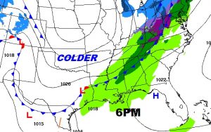
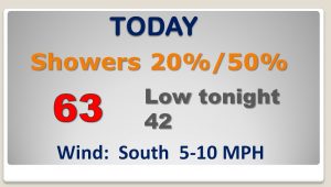
Rain chances will be small during the day, but the chances will escalate this evening and tonight as the Cold Front approaches.
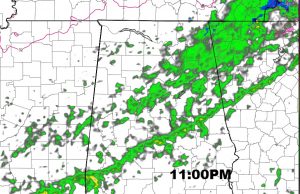
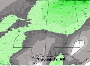
A Future Radar snapshot at 11PM shows the narrow band of showers moving into Central Alabama. Projected rainfall is very small… perhaps .10″ to .20″ at best in spots.
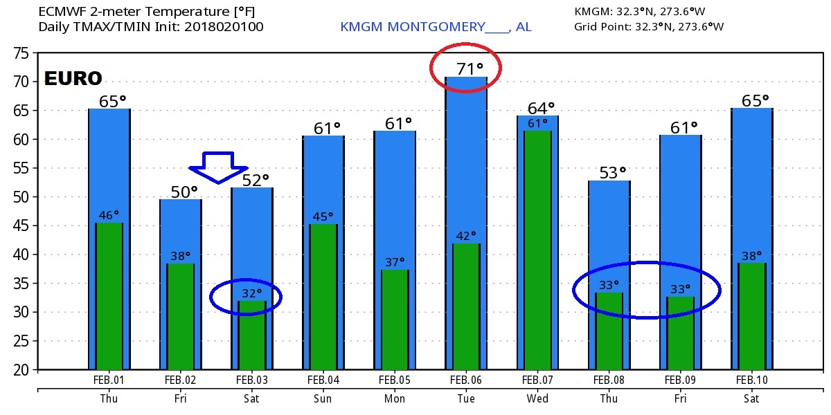
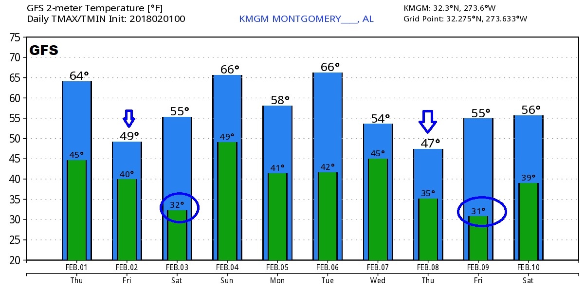
Lots of fast weather changes over the next few days. Should a very cold Friday. Another Freeze Saturday morning and the next shot of rain on Super Bowl Sunday, followed by a cold day Monday.

Total rain from 3 frontal systems over the next 7 days could total 1 to 1.5″ in central Alabama.

The big Global models (EURO and GFS) show the rapid weather changes over the next 10 days with 4 fronts and wild temperature swings.
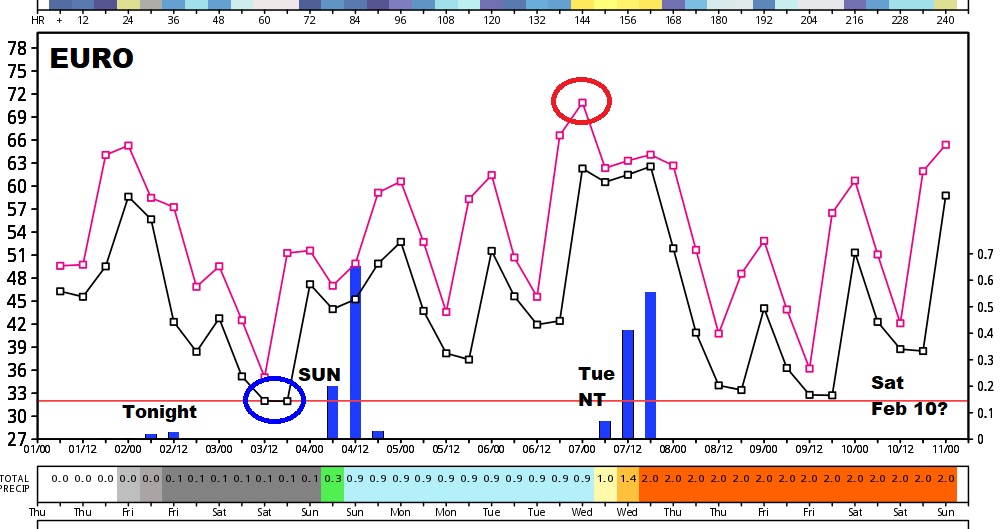
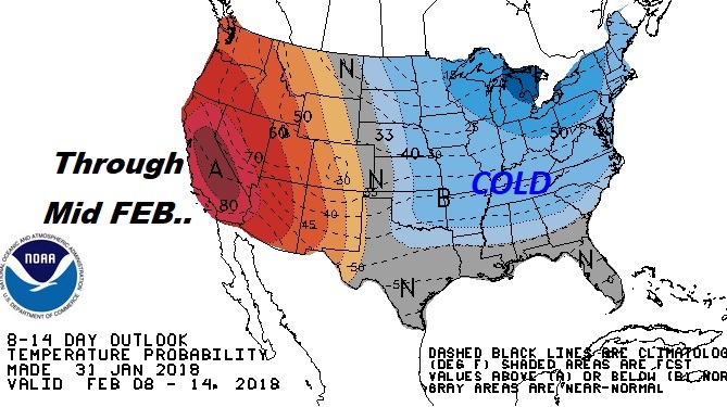
There continues to be a lot evidence that the colder than normal trend will continue across the eastern US through mid February at least, and perhaps longer.