
Happy Easter! Welcome to April! We have just a text-book perfect Easter forecast for here and the Lake and the Beaches. Great Easter Egg hunt weather. Enjoy this, we have a very active weather week ahead with two storm systems and lots of ups and downs in our temperature, including a couple of chilly mornings.
TODAY: One of the nicest Easter forecast in years. After a chilly start in the mid 40’s at Dawn, I think we will be close to 80 this afternoon with blue skies, lots of sunshine, and a slight south wind at 5-10 mph. Tonight’s low 54. Down at the Beach…highs around 73. Gulf water temp. a chilly 69, at the buoy 12 miles south of Orange Beach.
NEXT FEW DAYS: Nice today and Monday. The 1st of two significant storm systems will move across the state Tuesday night and Wednesday, and then sharply cooler will follow.
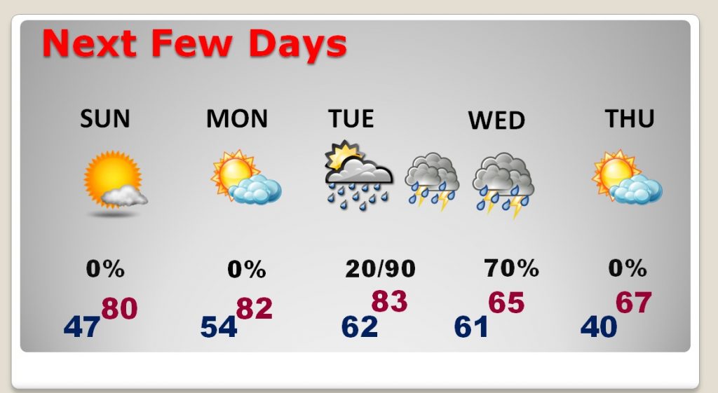
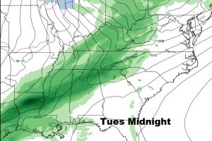
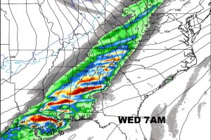
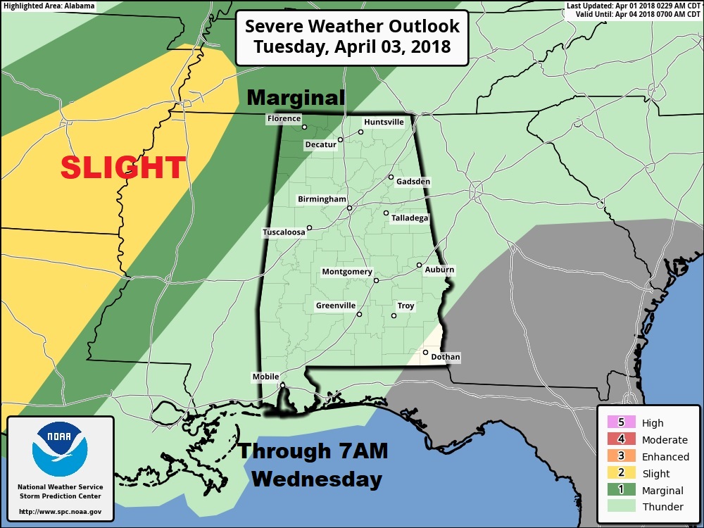
TWO STORM SYSTEMS THIS WEEK: The first storm system will move across the state Tuesday night in through Wednesday morning and mid day. A few strong are possible. In fact, parts of NW Alabama are currently included in a marginal severe weather risk. MUCH cooler air follows the storm system
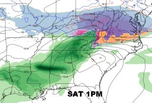
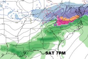
The second “Big deal” storm system could affect the state as early Friday, but more likely Saturday and Saturday night. It’s too early to discuss the severe weather potential with this next system yet, but it certainly is not out of the question. This storm system could certainly affect the planning for many big events next Saturday. We will continue to monitor it. More in the morning.
Have a wonderful Easter. I’ll have a complete video Monday morning at 4:45AM
-Rich