Good Morning! A frontal system moves south across the area today. That will be the focus for widespread showers and storms…probably the best chance this week. But, on this video, I’ll show you how the storms will thin out a bit late week. We’ll look ahead to the “up and down” weekend rain chances for here and the Beaches. Plus, get ready for series of hotter days. And, in the tropics, the models continue to hint at trouble along the SE coastline by the weekend. Finally, will we be able to see the Space Station flyover tonight? Hope you have a couple of minutes to check out your Wednesday morning personal weather briefing.
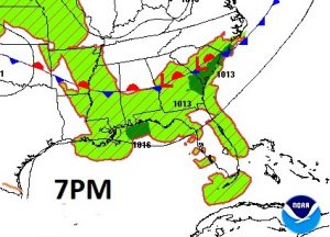
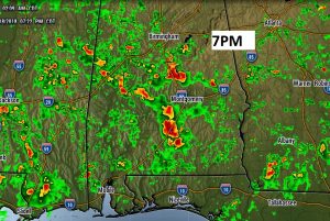
A southward moving front will be the focus for widespread showers and storms today.
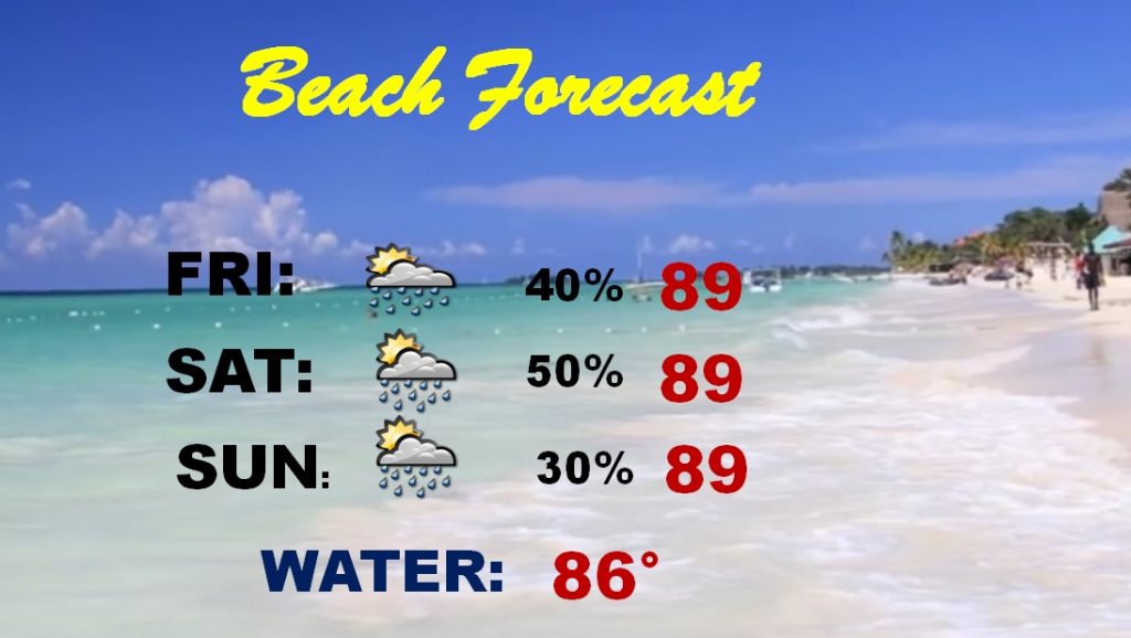
Our “Up and Down” rain chances will continue. Storms thin out a bit Thursday and Friday, and go back up again Saturday. Lowest rain chance will be Monday. Highs will be back in the mid 90’s with triple digit heat indices.
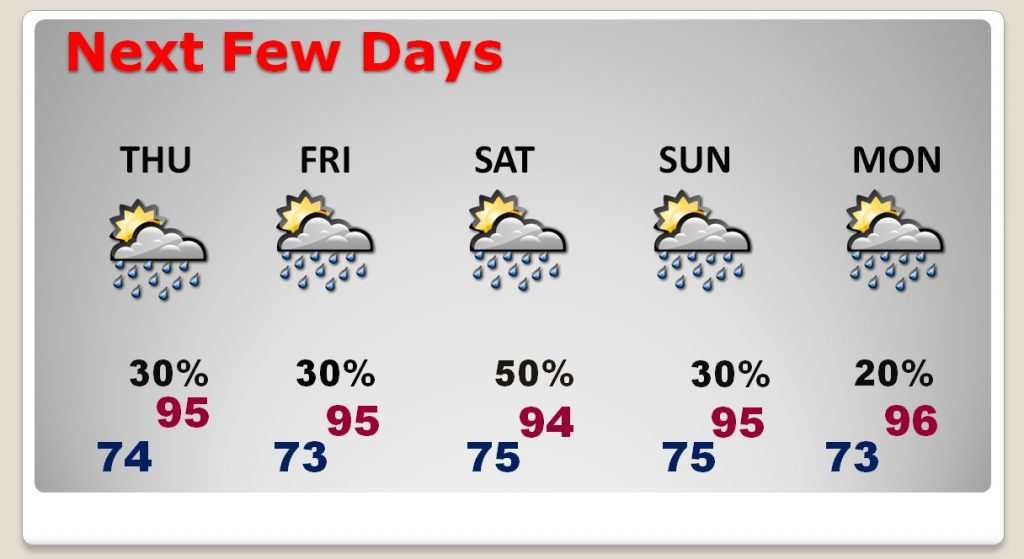
Scattered storms could affect your weekend plans from time to time. Highs in the upper 80’s.
The Euro model continues to advertise a decent chance of tropical development between now and the weekend. We’re watching.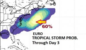
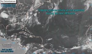
The rest of the tropics are quiet for now.