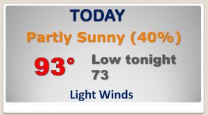
Good Morning! Some lucky communities will get a cooling shower later today, but not every town will get lucky. Still, though, as you will see on Future radar, you’re chances of seeing one are a little better today. Our “up and down” rain chances will continue. Our wettest days, though, area still to come. I’ll show you how rain chances may improve in a big way before this week is over. Do you have big weekend plans? We may be dodging a few rain drops.
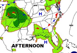
A meandering front will be a big player today. Along and south of the front, scattered showers and storms will bring cooling relief to a handful of lucky communities. Good luck!
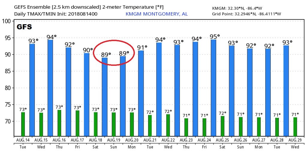
Our “Up and Down” rain chances continue. Tomorrow the rain chances are small and the temperature will soar to the mid 90’s But, look what happens Friday and Saturday (and maybe Sunday, too) as scattered to numerous storms return.
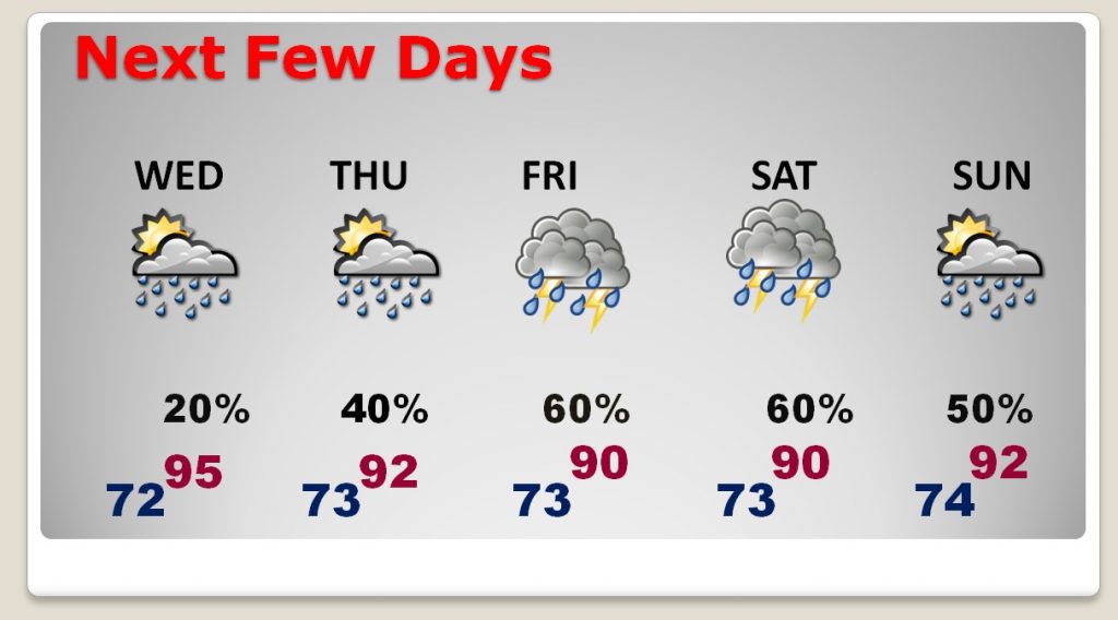
The GFS model suggests that the increased clouds & showers this weekend will knock the high temperatures down a few degrees, but middle 90’s will be back next week, again.
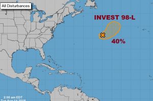
The tropics continue to be amazing quiet. NHC continues to monitor Invest 98-L way out in the central Atlantic. Will they waste a name… Ernesto on this system? Maybe.