Happy Friday! We much to discuss. Our rain chances are getting better and better. That may not be good news if you have a weekend trip to the Lake or the Beach planned. I walk you through the details, and show you a very active future radar. Plus, we may have a rare front make it all the way through the state next week. That would be great news! It would bring in some nice relief behind it, if only temporarily. And, there’s a new Invest in the tropics to talk about. Will it develop? Where is it headed? Lots of good information on your Friday morning personal weather briefing.
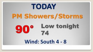
The atmosphere is rimed for action today as a trough approaches. Showers and storms will be more numerous than yesterday.
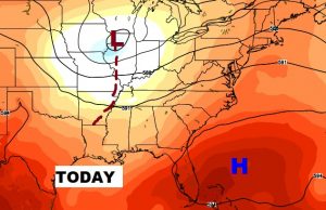
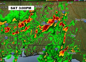
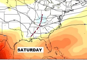
Widespread showers and storms will be around tomorrow with the trough right over us. Look at that Future Radar snapshot from mid afternoon tomorrow!
The better than normal rain chances will not only be around this weekend, but even through the early part of next week before a mid-week front arrives.
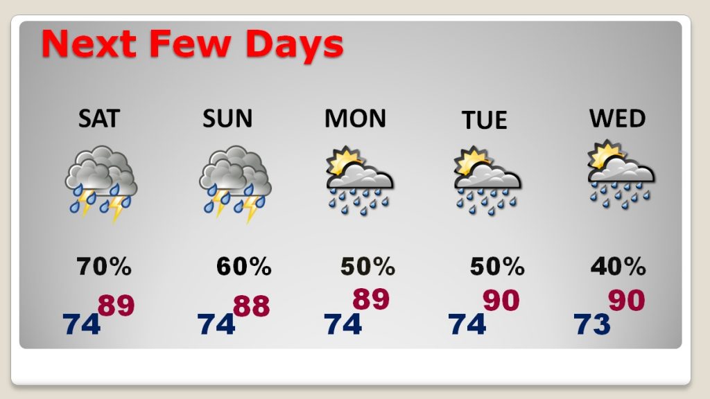
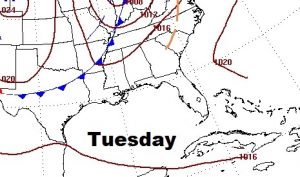
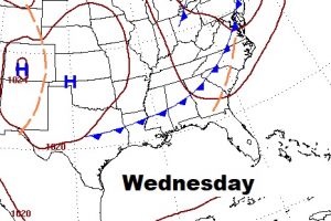
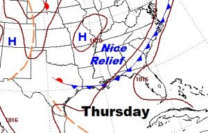
Rare summer front in Alabama next week? Making it all the way through the state on Wednesday, and to the coast on Thursday, brininging rare summer relief behind it with much lower humidity and no storms on the radar.
I’m not going to sugarcoat this. This is NOT a good weekend Beach Forecast.

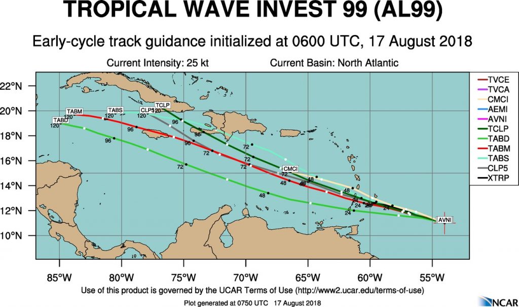
Something new to track in the tropical Atlantic. NHC gives Invest 99-L a low 20% chance of development next 5 days.
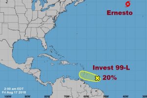
Some models give this system a chance in the Caribbean, but 3 global models – the GFS, ECMWF and Canadian lose this system pretty quickly, just west of the islands.