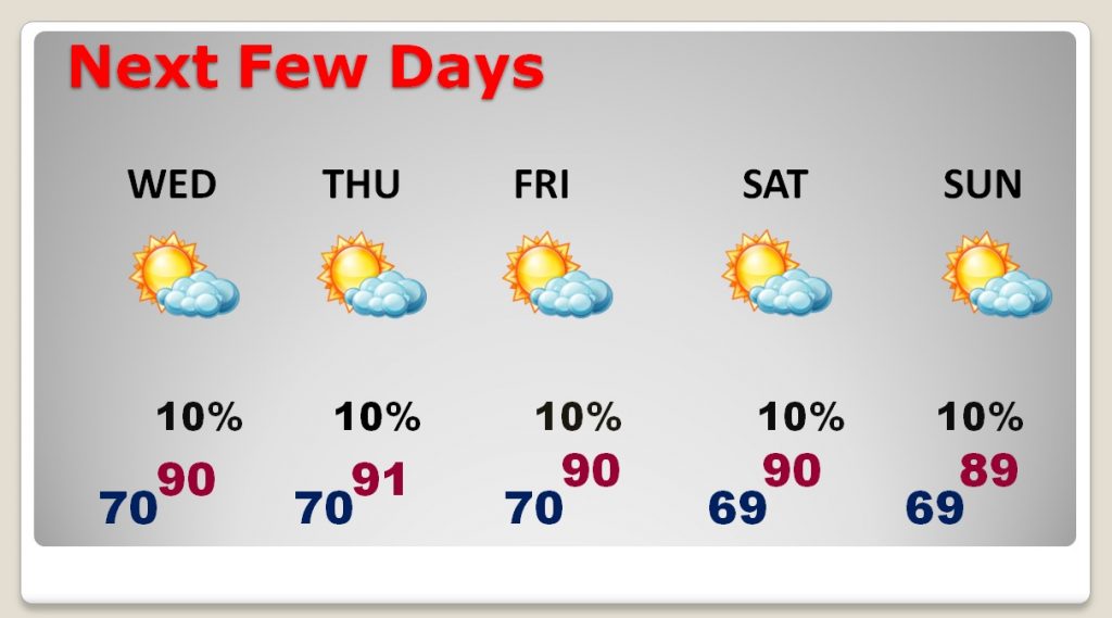
Good Morning! Like it or not, Extended Summertime appears locked in for the next several days. As upper level high pressure builds over us, showers are suppressed and temperatures are too hit for early October. How long will this pattern persist? Will it still be in place this weekend? We’ll look into next week. And, our interest in future development in the western Caribbean grows, and the global models suggest this is an area that must be watched over the next few days. We’ll look at possible scenarios on your Tuesday morning personal weather briefing.
A sprawling ridge of high pressure in the upper atmosphere spells mostly dry weather and temperatures which are way too hot for October.
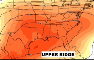
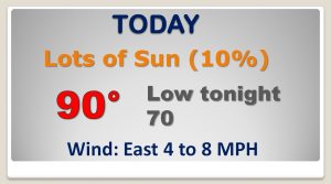
We should be locked in this persistent HOT and mainly dry pattern for several days, through the weekend at least.
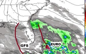
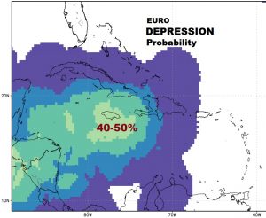
The Global Models warn that the western Caribbean must be monitored for the nest several days. The Euro shows a decent chance of Tropical Depression development in the days 4-6 time frame.
Then what? Where would a tropical system track? The Euro says up through Cuba and east of Florida. The GFS takes the system into the Gulf and points at the northern Gulf coast. Time will tell.