Good Morning! Get ready for a couple of hot October Days today and tomorrow. But, on this video, I’ll tell you about a frontal system which will bring showers back into the forecast, before cooling us off again. And speaking of cool fronts, I’ll show you and even nicer front on the not too distant horizon that will make you smile, if you like really nice Fall air. Plus, we’ll check the tropics for signs of development, on you.
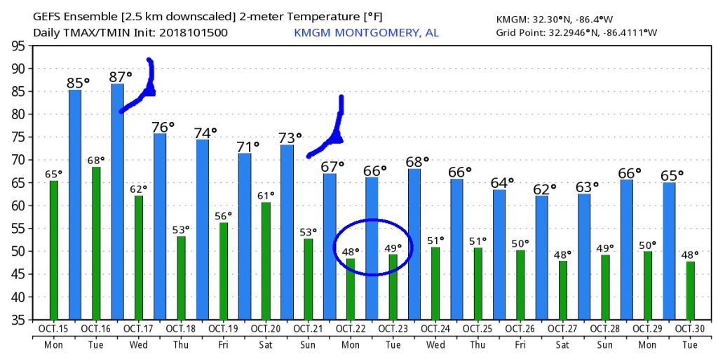
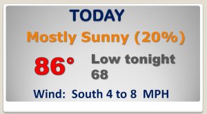
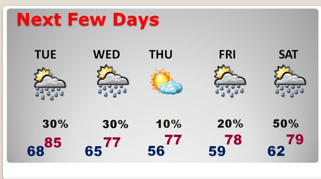
TOO hot for October today and tomorrow with highs in the 80’s. Widely scattered storms today as a front approaches.
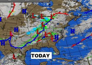
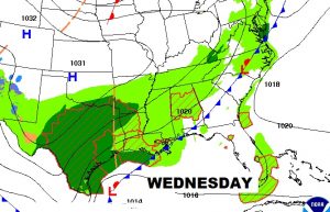
Risk of showers continues Tuesday and Wednesday as a frontal system enters the state and heads for the coast.

The first of two fronts this week will lower highs back into the 70’s for mid to late week with lows in the 50’s.
The second, much more significant front arrives Saturday night into early Sunday with a nice blast of fresh, cool Fall air.
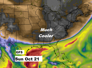
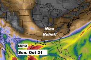
Here’s the raw GFS model numbers., The first front lowers temps from the 80’s to the 70’s. Then, the weekend front could lower us to highs in the 60’s and lows in the 40’s….MAYBE. Fingers crossed.