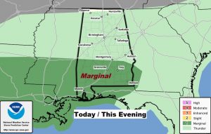
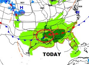
The Storm Prediction Center has outlined mush of south Alabama in a Marginal Severe Risk, mainly for this afternoon and early this evening, as clusters of thunderstorms develop and move eastward just north of stalled front. Damaging wind gusts are the primary threat. #alwx
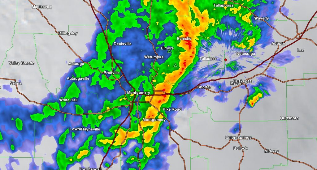
AT MID AFTERNOON: Significant weather advisory for parts of Montgomery, Elmore, Macon Lee, Tallapoosa and Bullock county until 2:30. Wind gusts to 40 mph possible with these storms moving east at 50. #alwx
PREVIOUS MORNING UPDATE:
Good Morning! We have a very active forecast for the next few days. A series of disturbances will bring more showers & storms, at times through Friday. On this video, we’ll look at how long the rain will be around and how much could fall. Get ready for a shot of much cooler air for the weekend. I’ll update the weekend weather details. And. get ready. Next week looks interesting. We’ll talk about another front which may deliver some Arctic air by the middle of the week. I’ll show you some new numbers.
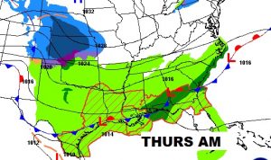
Next 2-3 days, waves of low pressure will ride along that Gulf Coastal frontal system like a train track. Wet at times with showers and storms.
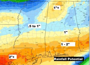
Heaviest rainfall will be across the southern strip of counties with many places 1 to 2 inches through Friday.
After the strong cool front shuts off the rain Friday evening, much cooler air funnels in for the weekend. Chilly nights and cool days. Then showers and storms will move in again Monday. I’ll probably have to take that Monday rain chance a lot higher,
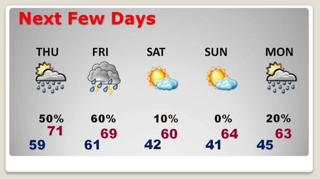
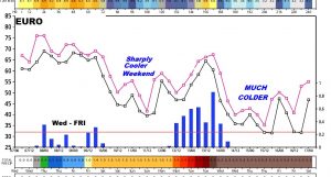
Next week will be very active. Showers and storms along a strong cold front Tuesday, followed by a taste of some arctic air by Wednesday through Friday.
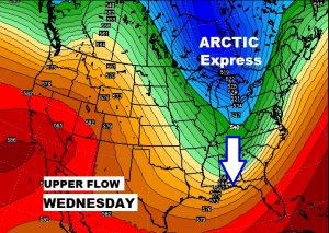
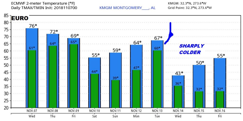
How cold are we talking? Well, don’t take these numbers literally, but the EURO model suggests our Wednesday high will only be in the 40’s followed by what could be the first freeze by Thursday/Friday Nov. 16/17. Stay tuned!