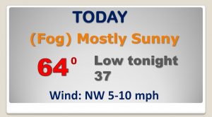
Good morning! Today will be quite a treat. Patchy fog this morning gives way to lots of sunshine and a very mild December day. In fact, there’s no harsh winter air anywhere in the nation as we start this new week. On this video, we’ll look ahead to the arrival of the next storm system later in the week. Friday’s first day of winter will feel like winter. The cool down should be brief. I’ll show you what to expect on Christmas Day, and who might see a White Christmas.
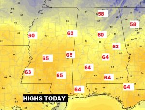
Another mild December day today..
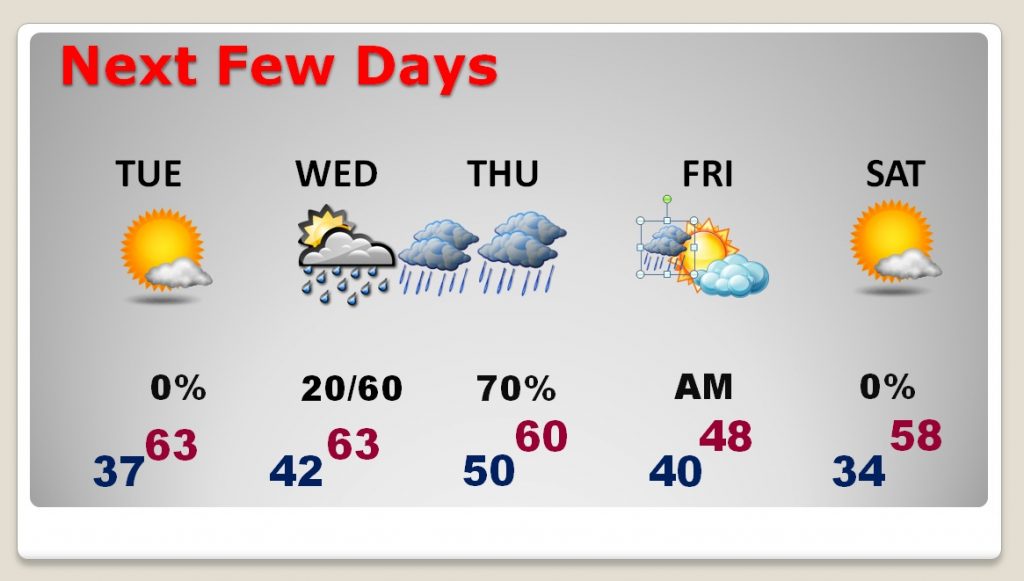
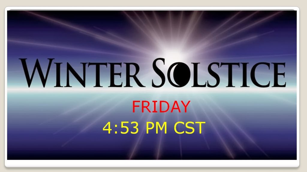
Nice through Tuesday… Increasing clouds, mild Wednesday with maybe an afternoon shower. Rain becomes likely Wednesday night through Thursday, ending and turning sharply colder on Friday. (The First Day of winter). Saturday and Sunday look storm-free.
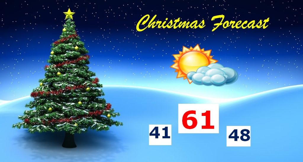
Looks like an above normal Christmas day. (Normal high 59..normal low 37) We should be storm-free, and a fairly mild afternoon is in tyhe cards.
BEST chance of a White Christmas is in the Rockies and parts of the Northeast. Across much of the Southeast States, the chancxe is nearly zero.
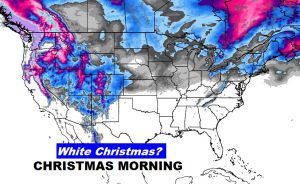
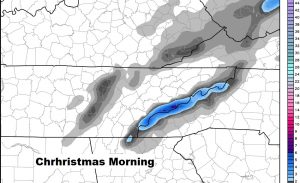
Closest Snow on the ground Christmas morning will be on the Great Smoky mountains of east Tennessee into west North Carolina.