Good Morning! Should be a very chilly start to our week before temperatures moderate. Much of the week will be quiet. The first of 2 storm systems will begin to affect us by late week and another more important system this week. We’ll look ahead. We could see a crazy and very active last two weeks of January with multiple storm systems and at least a couple of dramatic temperature plunges. I have a very interesting look into the future, with your toast and coffee this morning, on your Monday morning weather briefing.
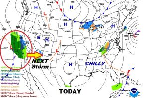
We’re on the chilly side of high pressure, today. We note the next storm system on the west coast which will affect us by late week.
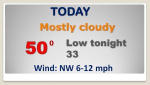
The clouds will hang tough through much of the day today and into the evening, before a clearing trend. We should be mostly sunny by Tuesday morning.
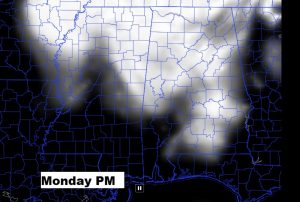

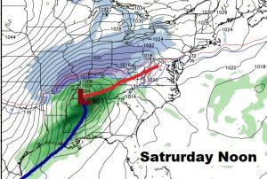
Quiet and cool early week…warmer and wetter by late week. A big deal storm system arrives Saturday.
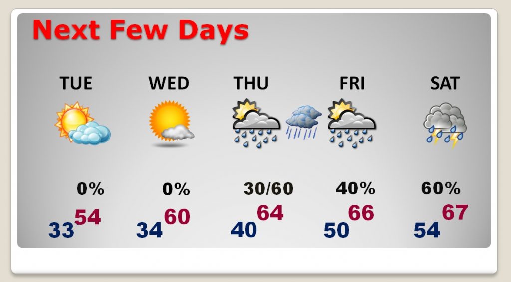
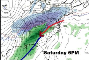
Significant storm system Saturday, including thunderstorms. Will there be any severe weather? Too early to say.
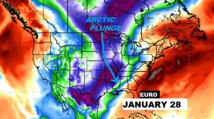
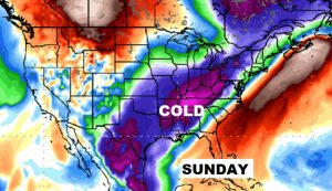
Here’s raw numbers off the EURO model showing the dramatic drop.
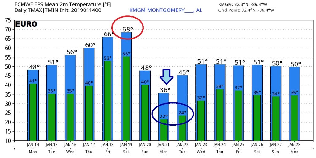
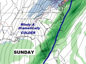
Behind the storm system comes a shot of very cold air by Sunday/Monday, on gusty north winds.
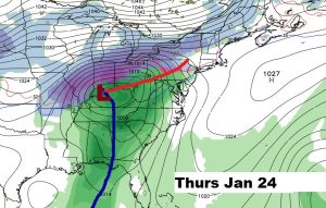
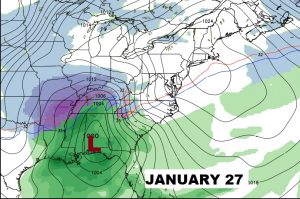
Could be a couple of more “big deal” storm systems around January 24th and January 27th.
Followed by a Full Arctic Plunge (possibly) before this month ends.