Good Morning! We have a couple of quiet days in our otherwise very active pattern. We’ll be dealing with a series of storm systems over next 7 to 10 days. The weekend forecast has undergone significant revisions. I’ll bring you up to date on the fast time line and the updated rain chance. Which storm system has the potential for strong to severe storms? Plus, we continue to scan the distant horizon for more arctic air. Will we see any and when?
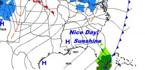
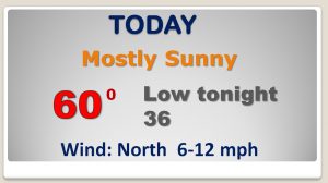
Nice break between storm systems today! Lots of sun. High near 60 after a chilly start.
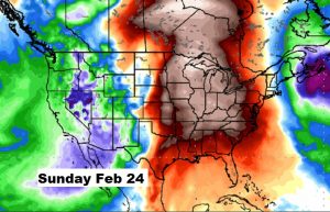
Nice Thursday… But, then, a very active pattern for several days, as a series of fronts and disturbances affect the area. Looks like the next chance of strong/severe storms could hold off until sometime in the next Tuesday/Wednesday timeframe, about a week out.
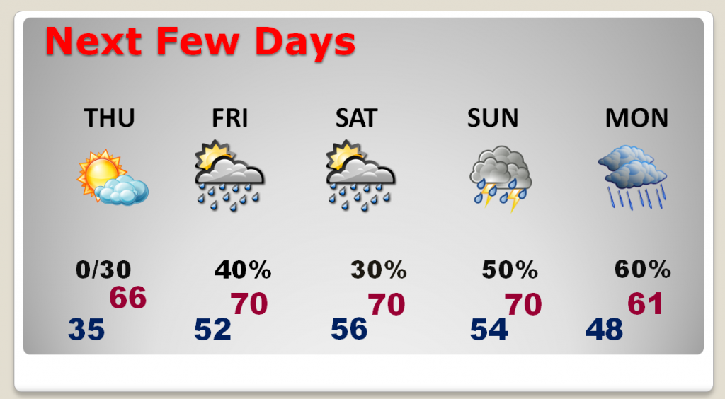
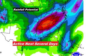
Active weather pattern could produce significant rainfall totals over the next 7 days, particularly across the Tennessee Valley.
The BEST news…the extreme arctic flood gates appear to be closed for the next 10-12 days.