Good morning! A stalled front in central Alabama will the be the main weather player today. Wet at times today. Tuesday should be the nicest day. On this video, we’ll look ahead to the main event later in the week. A wet and stormy weather system will dominate our weather Wednesday night through the end of the week. How much rain? Any severe weather? Will it move out of the way by the weekend. I’ll profile the week ahead. Looks like we could see a dose of some very chilly air by the weekend
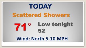
Scattered showers will be around at times today in the vicinity of the stalled front. The front will migrate closer to the coast by evening.

Tuesday is the nicest day. The main event this week is that big storm system approaching with showers by Wednesday night and then showers & storms Thursday, Thursday night and part of the day Friday.
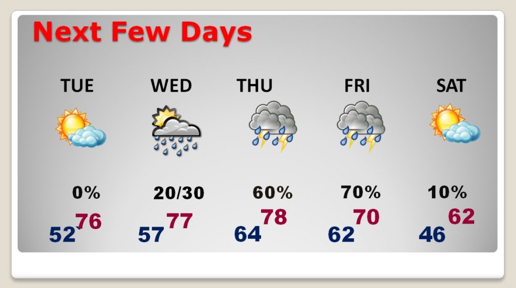
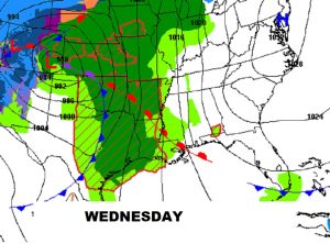
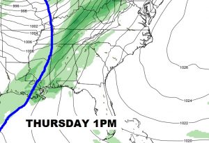
Formidable storm system will bring a threat of severe weather to states west of us Wednesday. The front will cause rain and thunderstorms for much of Thursday into Friday..
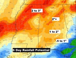
Soaking rain with this storm system in spots.
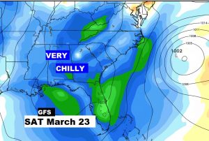
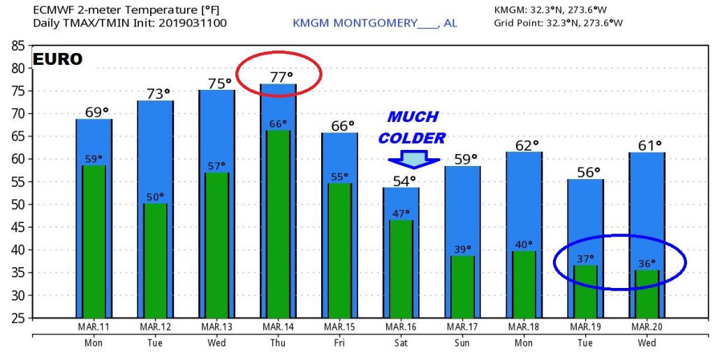
These are just RAW model numbers, but the EURO model is advertising drastically colder air arriving this weekend.
GFS shows some very chill air in place late in the month.