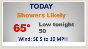
Happy Friday! Be prepared to dodge some raindrops from time to time. A fast moving storm system will bring showers and a few thunderstorms today. Best chance will be afternoon and into the early evening, but just about any time today or tonight is fair game. I’ll update the weekend for you. There’s a lot of Christmas events tonight and Saturday. Saturday is looking like a better day. The next “big deal” for us involves an approaching front which will bring more rain & storms early next week, before it turns much colder. But, what about Arctic Air? I’ll show you temperature trends for the next 2+ weeks.
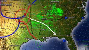
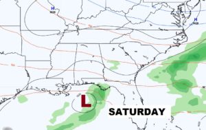
Storm system to the west of us early this morning will track southeastward into Alabama today and into SW Alabama by this evening.
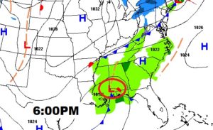
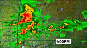
Showers and perhaps a few thunderstorms are possible anytime today or tonight, but the most concentrated rain chance would be in the afternoon and early evening.
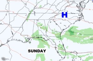
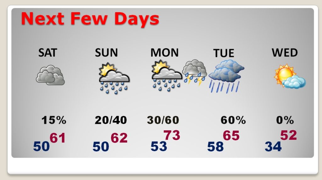
Saturday and Sunday are mostly DRY, however, a couple of isolated showers here and there can’t be ruled out. Rain chances both days are small.
Major frontal system will bring another round of showers and storms to the area overnight Monday night into Tuesday. It will turn sharply colder on Wednesday.
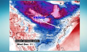
FORTUNATELY the COLDEST core of the next Arctic Chunk to enter the country will not come straight for us. Looks like the coldest air will pass well north of Alabama, giving us just a sample. A glancing blow.