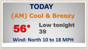
Good Morning! What a change in reality in 24 hours. Instead of the 70’s, today will be rather brisk – breezy and cool with highs in the 50’s. Looks like an active pattern over the next 6 to 7 days. Another storm system emerges from the Gulf Friday, and a Strong Cold Front will affect the state by Monday night. On this video, I’ll bring you up to date on the details. We’ll look at the weekend ahead, and I’ll show when to expect the next big Temperature Plunge.
Showers exit the state before lunchtime. It will be a brisk and cool day today, with a stiff northerly wind and highs only in the 50’s
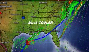
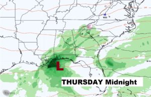
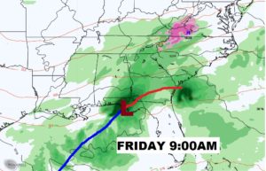
A Gulf Storm System brings more rain to the state Thursday night into Friday.
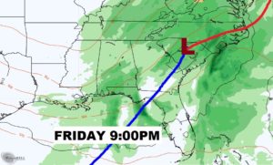
The shower risk exits early Saturday, followed by a primarily dry weekend with a warming trend, back into the 60’s Next big deal storm system comes in as a cold front approaches Monday night into Tuesday.,
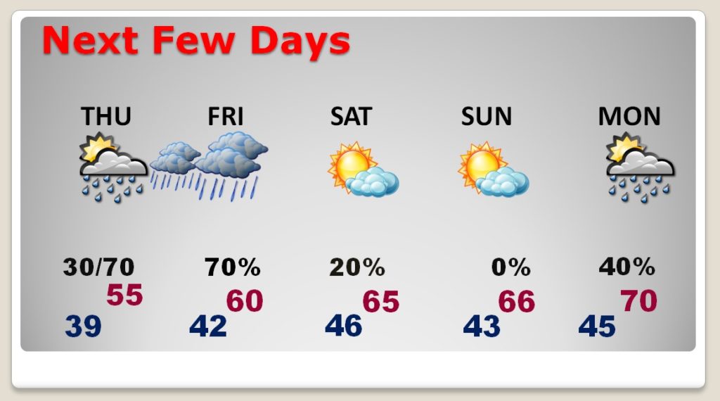
Next big deal storm system comes in as a cold front approaches Monday night into Tuesday. Will there be some stronger storms with this system? Too early to say..
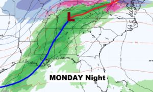
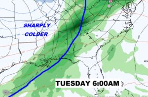
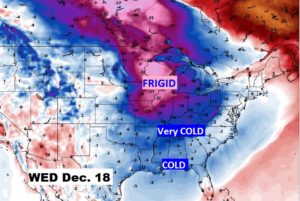
Sharply colder air floods in late Tuesday into Wednesday. Looks for a Huge Plunge.