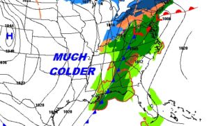
The Strong Cold Front which brought the severe weather threat to Alabama last night is moving into SE Alabama early this morning. Southeast Alabama still has a storm threat till after sunrise. The risk of some morning rain will shift out of the area today. This will be a day of Falling temperatures. We’ll fall to sub-freezing levels tonight, and wind chill will be a factor Wednesday morning. I’ll update the rest of the week, including 2 or 3 cold nights. I have a preview of the weekend forecast and a peek at Christmas week and beyond.
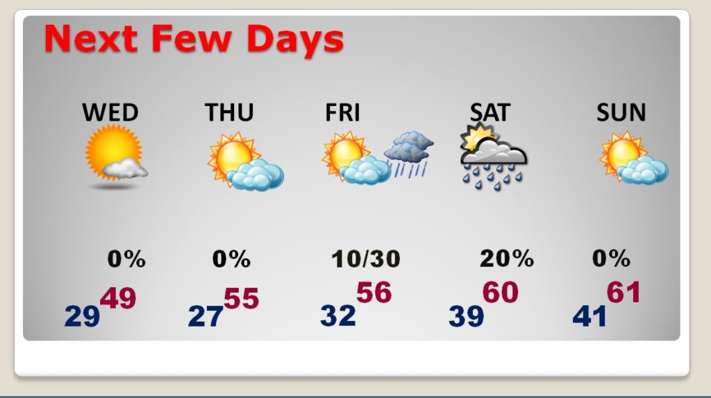
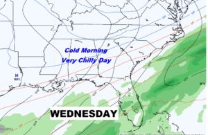
The storm threat will end in Southeast Alabama later this morning as the cold front sweeps through. This will be a day of Falling Temperatures. Expect mid 40’s by sunset.
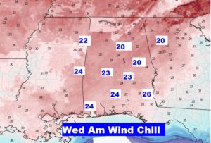
Bundle up. Wind Chill will be a factor in the morning. Low 20’s in many areas.
Wednesday’s high temperature may fall short of 50 degrees.
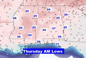
These are actual lows on Thursday morning near Dawn. Upper 20’s all the way down to the Florida line.
CHILLY but dry Wednesday and Thursday. Small chance of showers Friday night and Saturday. Milder over the weekend with lower 60’s.