It’s been a great weekend so far, and most of today will be dry, with the temperature close to average for late January. A low pressure disturbance in the Gulf will brush by the state tonight. The best chance of showers will be overnight tonight and through the morning hours on Monday. A similar disturbance will affect the state by Wednesday, and yet another one by the end of the week. None of these disturbances appear to be a “big deal”. The bulk of the rain will remain off shore, in the Gulf. No severe weather is anticipated.
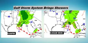
TODAY & TONIGHT: Most of the day will be dry. Clouds will increase. High around 57, which is normal for today. Spotty showers possible, mainly after Noon. Showers become likely tonight, and through the overnight hours. Low 46.
Here are a few Future Radar snapshots at 9PM, Midnight and 3AM.
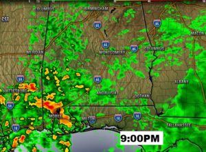
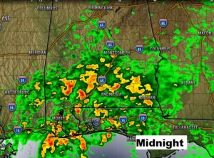
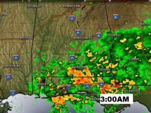
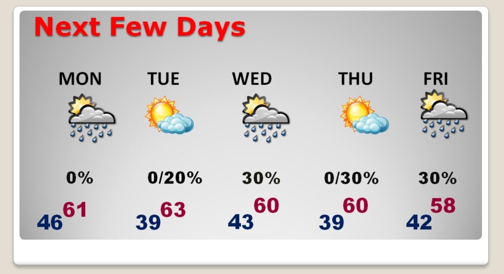
MONDAY: Risk of rain early, especially in east and southeast Alabama. Improvement by afternoon with clearing skies. Milder. High 61.
NEXT FEW DAYS: The last few days of January will be rather mild, with highs in the lower 60’s. Another disturbance will brush by the area, Tuesday night into Wednesday. But, like the storm system tonight, much of the heavier rain will stay off the coast. A third disturbance will bring another shower threat at the end of the week.
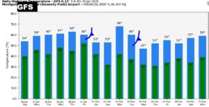
WHERE’S THE COLD AIR?: I don’t see any clear signs of any arctic air over the next several days. Here’s a look at the GFS model raw temperature guidance out 16 days. Looks like two cold fronts are noteworthy, one this weekend and another one closer to February 5. Remember, don’t focus of the numbers…we’re just looking for trends.
—
I will have a video update for you first thing tomorrow morning. It should be online by about 4:45AM. Have a nice Sunday!
–Rich
