Good Morning! We are headed into a pattern more like late April or May. Alabama will be heating up over the next few days. In fact, it looks like we will be in record high territory Thursday through Saturday. Spotty storms will be roaming around today. Parts of our state will see a severe weather risk. I’ll show you future radar. Will we see any strong storms in central Alabama? Plus, wait till you seed the updated Pollen forecast. The news not good. Stay safe and healthy.
Warm day today. Most of the active weather will be across the northern half of the state. Showers and storms. Better rain chances will start to filter into central Alabama buy late afternoon, evening and tonight.
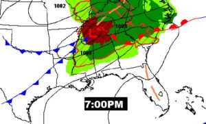

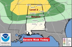
North Alabama could see some strong to severe storms, especially from about Clanton northward. Damaging wind gusts.
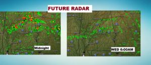
Some stronger storms will slip southward by later tonight and through the overnight hours, before they start to fall apart.
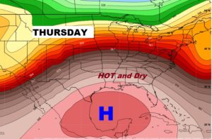
That Big Upper High building over the Gulf, with a a ridge northward into the Gulf states will set the stage for a period of dry late week weather and temperatures which will be HOT for March. Records could easily be tied or broken.
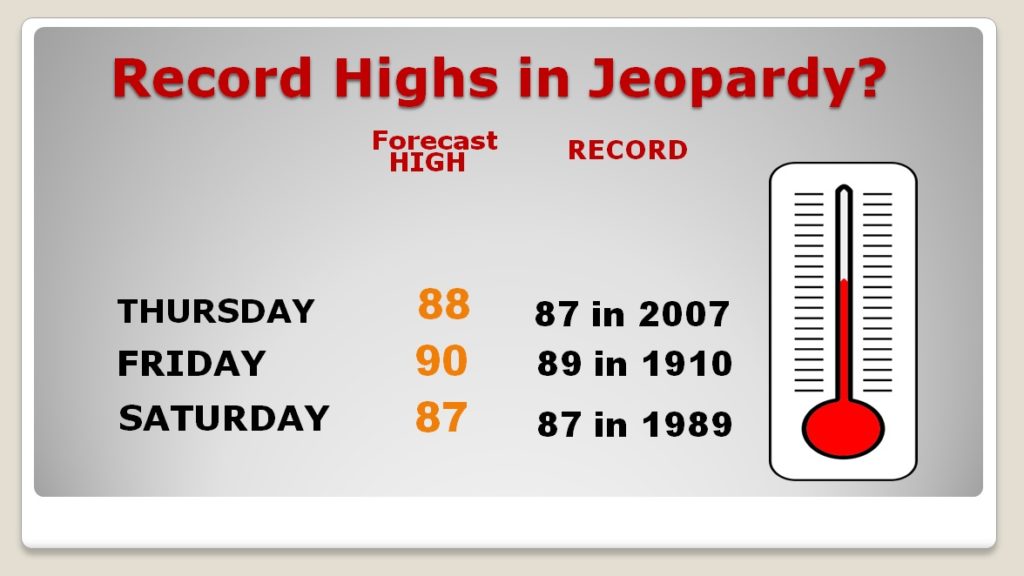
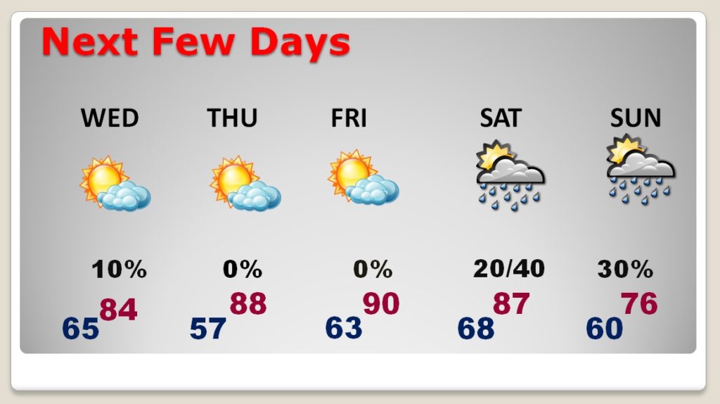
HOTTER and hotter. Upper 80’s to near 90 Thursday through Saturday. Weekend front could bring a few showers. Not as warm Sunday.
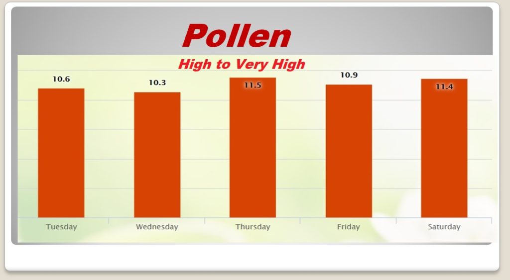
What can I say about this? It’s about as bad as it can get.