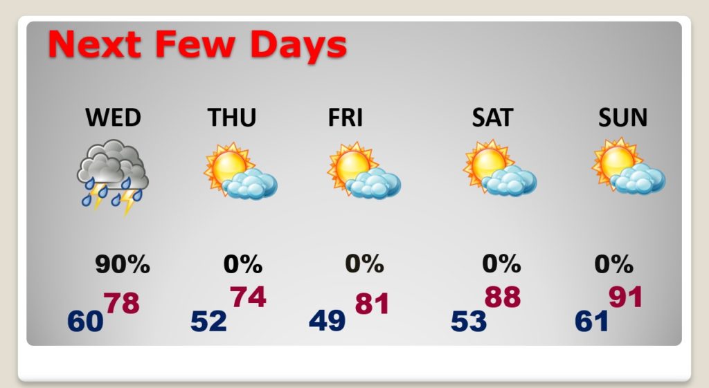
Good Morning! Our extended string of storm-free days ends today. We’re headed for the 80’s today, but get ready for a big change. Showers and storms will spread across the area Wednesday. Once again, some storms could reach severe limits with damaging wind gusts. Tornadoes are possible. Much cooler air will funnel into the state Thursday. But, not for long. Are you ready for a summer preview? The weekend will feel a lot more like June than May. We’re in for a temperature rollercoaster for the next couple of weeks.
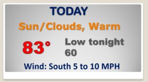
Final day in this string of nice days. Warmer today. Low to mid 80’s.
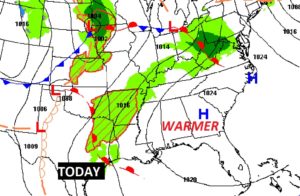
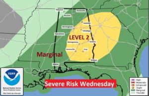
Powerful storm system will affect Alabama on Wednesday as showers and storms return.
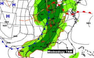
Strong to severe storms Wednesday. Damaging wind gusts are the main threat. Tornadoes are possible. Main time window Noon to 6PM.
Showers and strong storms Wednesday. Breezy and much cooler Thursday. Warmer Friday. Hotter this weekend. A little summer preview.
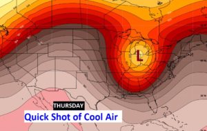
Much cooler air will briefly engulf thew state Thursday behind the storm system.
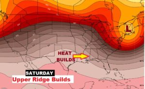
But, the cool will fade quickly. We’ll heat up quickly this weekend as an upper ridge builds.
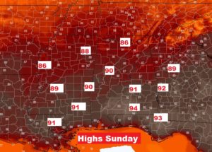
Sunday will feel more like June than May.
The rollercoaster ride continues next week. Another shot of cooler air is on the menu.