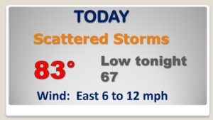
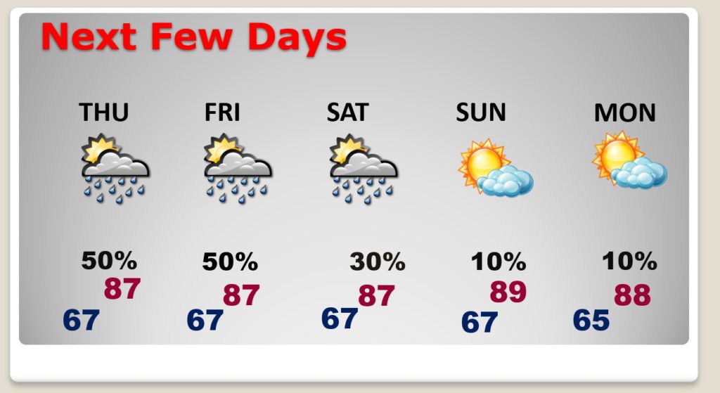
Good Morning! Showers and thunderstorms will be in ample supply across Alabama today and tomorrow. In fact, a few of the storms could be strong with damaging wind gusts possible. This active thunderstorm pattern will hang around through Friday. On this video, I’ll also look ahead to an improving weekend forecast. Thunderstorms will thin out in number. I have updated the daily rain chance through the weekend for here and the Gulf coast beaches. Could there be some hotter days by next week?
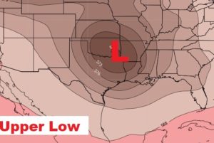
We are on the wet side of an upper Low near the ArkLaTex. Looks like thunderstorms will be in ample supply.
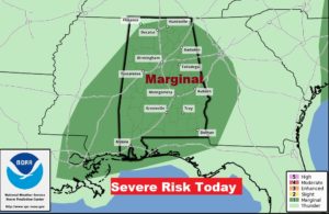
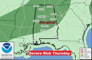
MARGINAL Severe Risk today and tomorrow. Damaging wind gusts are the main threat.
The better than normal rain chances remain in the forecast through Friday. Showers thin out Saturday. Sunday and Monday are mainly dry.
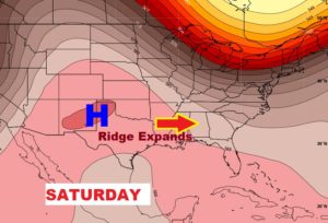
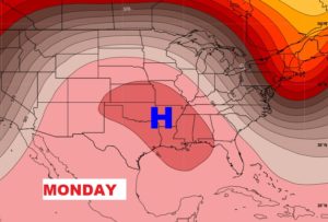
The upper trough lifts out and the upper high pressure ridge expands eastward. Alabama will start to dry out and heat up.
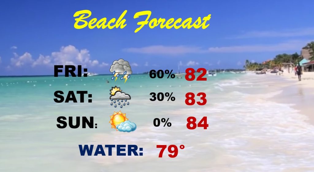
Good chance of storms Friday, down at the Beach. Smaller chance Saturday. Mainly dry Sunday.
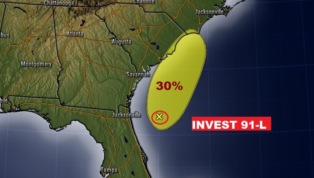
NHC gives Invest 91-L only a 30% chance of developing before moving inland this evening and tonight.