
Good morning! Our relentless July heatwave rolls on. We’re in for the hottest weekend of the year so far. Some towns will reach the upper 90’s. The heat index will rise to excessive levels, teasing the 105 danger level. Any cooling PM storms will very isolated in nature. Are there any signs of a “break” or easing of this pattern?
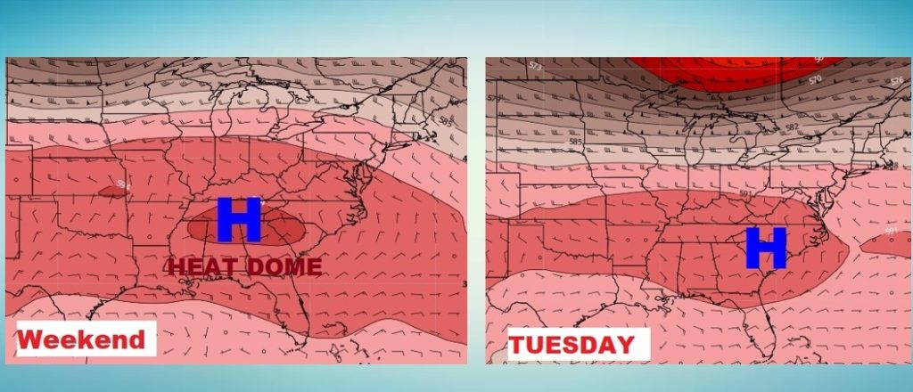
The Strong Upper Heat Dome over us now, will weaken slightly and shift eastward by early next week. That will allow for an increase in afternoon storms and ease the heat a couple of degrees.
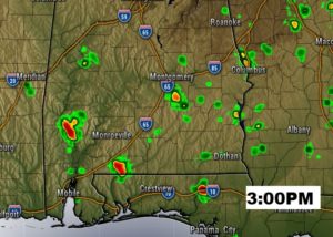
TODAY: Yesterday’s high was 96 with a Heat Index of 104. I think today will be a carbon copy of yesterday. Lots of sun, mixed with some clouds. Hot and humid. The rain chance will be very small again. Low tonight 95. Here’s a Future Radar snapshot at 3PM.
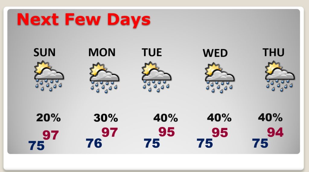
SUNDAY: Not much change. High 97. Heat index near the 105 danger range. Widely scattered storms.
NEXT FEW DAYS: Things will not change much, but look for slightly better coverage on the afternoon storms Tuesday through Thursday. Still hot & humid. We’ll know just a couple degrees on the highs.
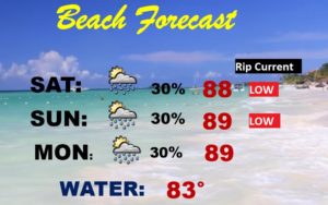
BEACH FORECAST: Routine weekend Beach Forecast. Low rip current risk. Spotty storms. A good Beach Forecast.
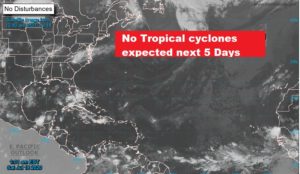
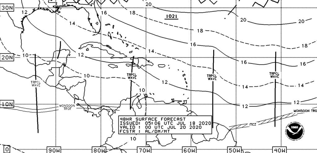
TROPICS: While all is quiet in the tropics this weekend for the next few days, We a tracking a number of tropical waves from the African coast and through the Caribbean,
—
I will have another Blog update tomorrow morning. Follow me on Twitter: @RichThomasWX. Stay safe and well.
-Rich