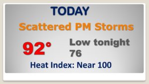
Good morning! On this last day of August, we’ll be tracking a cluster of strong storms riding southeast across the state. A few storms could require warnings, perhaps. Storms thin out by mid-week and by late week, an approaching “cool” front could make it all the way through the state by Friday night. That would lower the humidity a couple of notches, just in time for Labor Day weekend. But, there’s an even more exciting cool front which may bring a big change in roughly 10 days.. Plus, we are now tracking 4 systems in the tropics.
Pretty routine last day of August. We’ll be tracking a cluster of storms in north Alabama moving southeast.
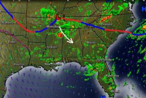
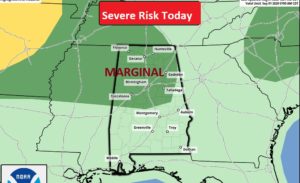
Some of the storms could reach severe limits across north Alabama with damaging wind gusts.
Storms thin out later this week. Small chance by Wednesday and Thursday.
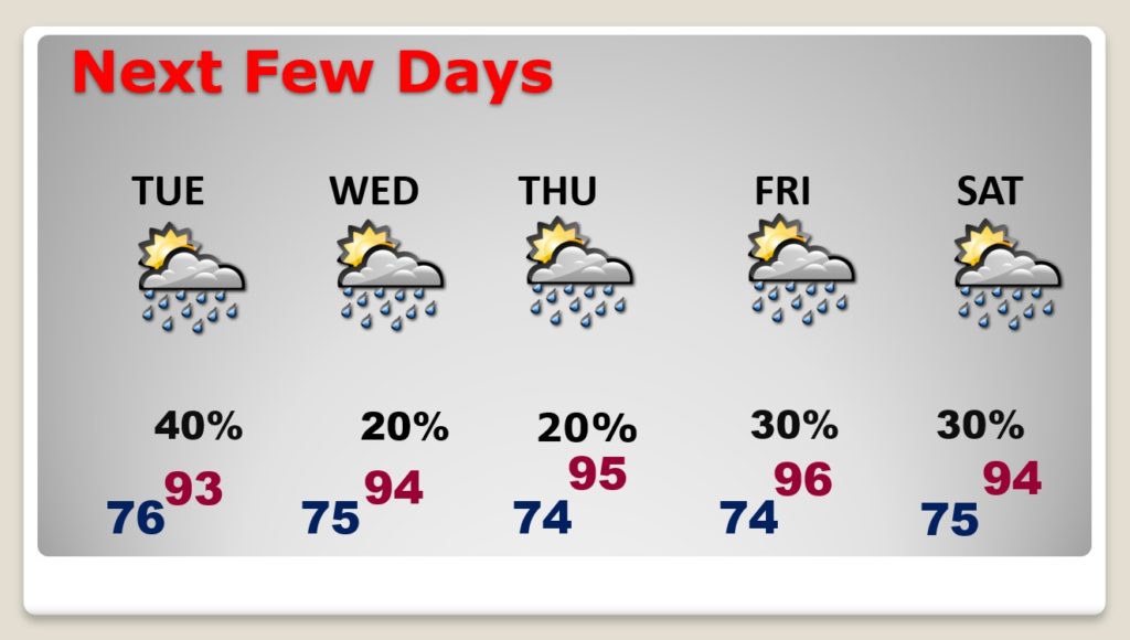
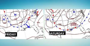
How would you like somewhat lower humidity over the Labor Day weekend. Models hint that a rare front may make it all the way to the coast. It may not cool us off, but the humidity would come down a bit. Noticeable change.
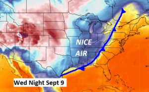
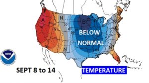
THIS WOULD BE EXCITING if it plays out. An important cool front 10 days away? It would bring much lower humidity and nicer temperatures. FINGERS crossed.
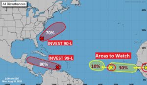
Very busy in the tropics again.. 4 systems being monitored by NHC.