Good morning! The first day of September will be a lot like the last day of August. More scattered storms will dot the radar screen. However, get ready for a rare change for Wednesday and Thursday. We may get a brief storm-break for a couple of days. We’re starting to zero in on the Labor Day weekend details. So far it looks rather routine. No surprises. And, the idea that we may get a nice heat & humidity break in about 9 or 10 days remains on the table. I’ll bring you up to date.
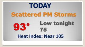
Routine first day of September. Spotty storms. Hot day. Heat index near the danger level.

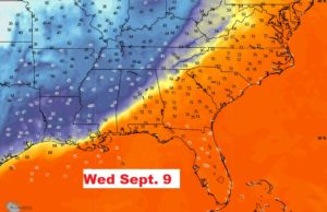
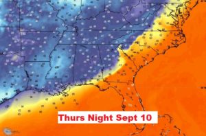
Rare break from storms Wednesday and Thursday as high pressure builds overhead. Widely scattered storms Friday through Sunday.
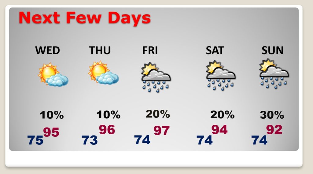
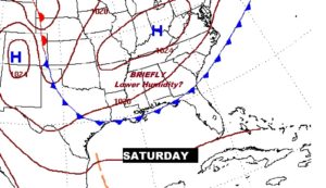
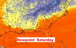
We may get a very tiny and brief lowering of the humidity on Saturday, if that weak cool front actually makes it all the way to the coast.
Still great hop that a significant cool front is roughly nine days away….one that would bring lower humidity , more comfortable days, and cooler nights. Fingers crossed.
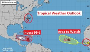
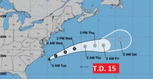
T.DE. 15, which formed off the US Coast yesterday…is moving away from the United States. We don’t care about it.
Invest 99-L in the Caribbean is likely to become a Depression or named storm as it moves in the general direction of the Yucatan. Will it ever be a Gulf system? The jury is out.