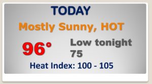
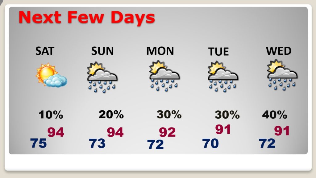
Happy Friday! The long Labor Day weekend begins on a HOT, humid, dry note today, as the mercury heads for the mid 90’s. There’s one nice thing. Saturday’s humidity will be just a little lower. Enough to notice. That won’t last. Humidity and scattered pop up storms are back Sunday & Monday. I’ve updated the rain chances for here and the coast. Still very hopeful on some much nicer air arriving late next week. I? have an update on timing. And, talk about a Tropical Traffic Jam. It’s getting busy in the Atlantic as we near the peak of the season.
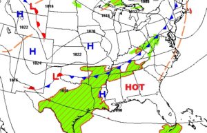
Today will be a carbon copy of yesterday. A weak front drifting southward through the state will probably be a dry front for us.
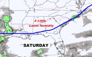
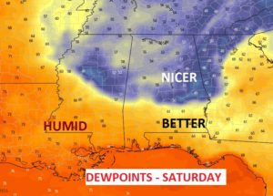
We may BRIEFLY sample some lower humidity Saturday. Lower dewpoints. highs still in the mid 90’s.
Random pop up storms make a return to the forecast Sunday and Labor Day. Rain chances get a little better Tuesday and Wednesday.
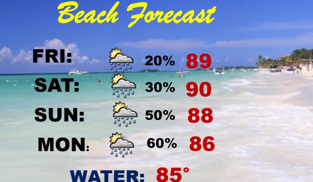
Routine Beach Forecast through Saturday. Then, the rain chances start to ramp up Sunday and Labor Day Monday.
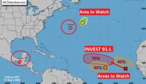
Talk about a Tropical Traffic Jam. As Nana and Omar fizzle. There are now several areas to watch in the Atlantic. Invest 91-L has 70% chance of becoming a Depression and then Paulette.
Will that NICE Canadian air entering the country next week ever reach Alabama? And when? And will it still be nice when it gets here. Some models now delay the arrival until perhaps next weekend. Stay tuned.
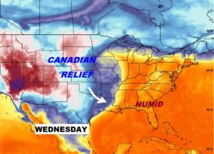
At least the Climate Prediction Center suggests Alabama may at least sample some of the nice air.
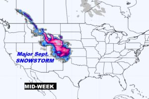
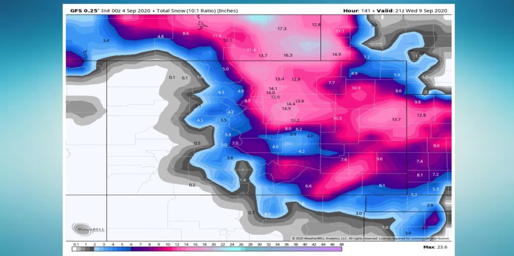
Meanwhile, Denver, which will be in the mid 90’s this weekend is likely to see a MAJOR snowstorm this week. Some parts of the state could see 14-18 inches! JUST CRAZY.