
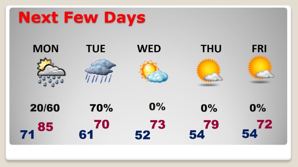
Good morning! A disturbance riding along the Gulf Coast will bring a chance of showers to central and south Alabama today. By far the best rain chances will be closer to the coast.
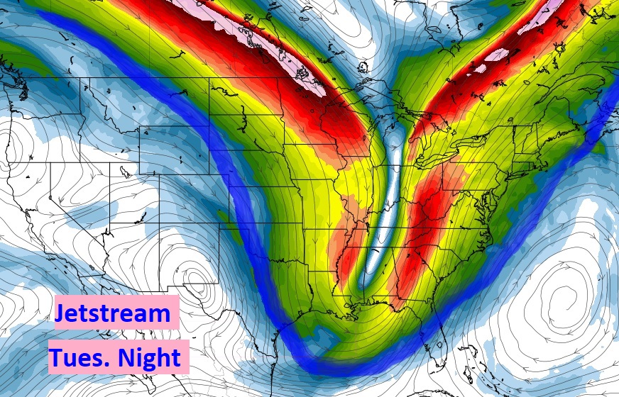
But, there’s much bigger news as we look at the week ahead. An important change. Two cold fronts will sweep through the state. The first will deliver a round of showers and storms Monday night/Tuesday. The second, reinforcing front will deliver the coolest air since last Spring. Could we see a morning low in the upper 40’s by late week?
Take a look at this graphic. Important weather change this week? You tell me….
TODAY: Showers and storms are a good bet in south Alabama and closer to the coast. Here in central Alabama, especially from I-85 southward, we could see a few spotty showers. It’s possible. Very warm for the end of September. Mid 80’s. Isolated showers possible tonight. Low 71. Muggy.

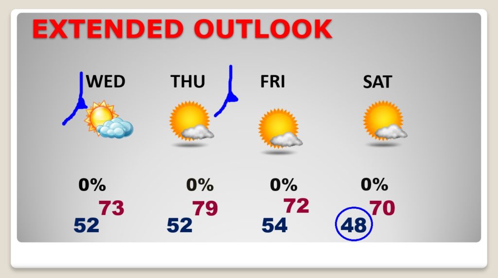
NEXT FEW DAYS: Important changes. Showers and storms sweep across the state Monday night through mid-day Tuesday. The FIRST stage of cooler air follows Tuesday night & Wednesday. The second reinforcing Cold Front arrives by Thursday. It’ll be a dry front. Some really nice Fall Air follows the second front. The numbers below speak for themselves.
Take a look at the low by Saturday morning.
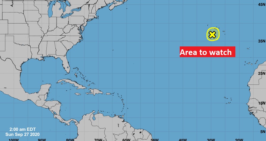
THE TROPICS: There’s one lonely X on the map in the far eastern Atlantic. Do we care? NO.
—
I’ll have a complete video Monday morning. There may be additional updates today as needed. Stay safe and well. Enjoy your Sunday.
–Rich