
Hello! Yesterday afternoon I tested positive for COVID 19. No fever. I’m essentially asymptomatic, although, I am fatigued. The doctor suggested lots of liquids, lots of sleep and Tylenol. I have some vitamin supplements, too.
So, here’s the deal. I will be quarantined in my home. You will still hear my forecast on the radio. And, instead of a full blown morning video, I will send out a brief blog update, with a forecast summary every morning. OK? Bear with me… Thanks!
- – –
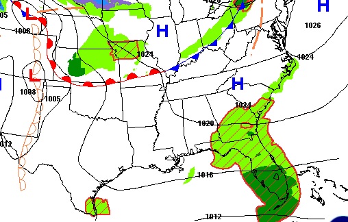
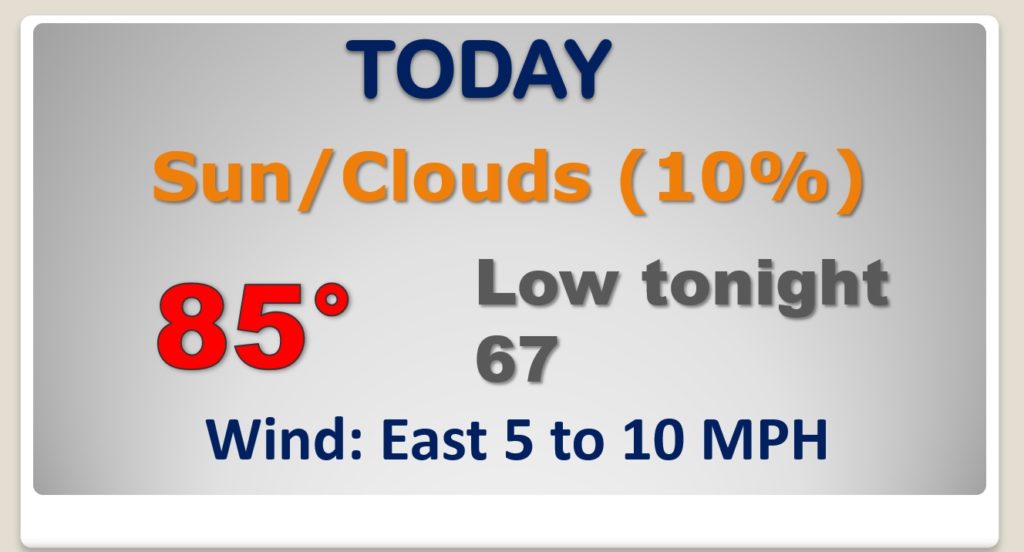
TODAY: Get ready for another essentially, dry & warm October Day. We got up to 85 yesterday, and I think we’ll be close to 85 today. I have the rain chances not quite zero, but under 20%. I Expect a sun/cloud mix. Very mild tonight low 67.
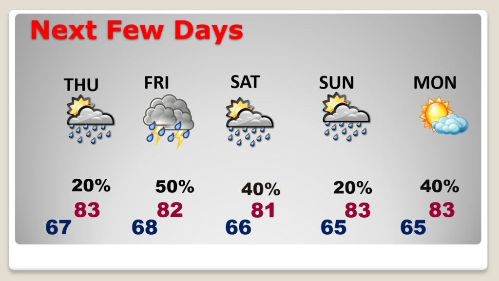
NEXT FEW DAYS: It will continue warm. Tropical moisture will start to increase. Widely scattered showers and maybe a thunderstorm is possible Thursday. The number of scattered showers and storms will increase Friday and Saturday ahead of an approaching front. There is some question whether the front will make it all the way to the coast, so I’ll leave in a small chance Sunday. I have Monday dry, right now. But, showers and thunderstorms will return Tuesday ahead of the next frontal system.
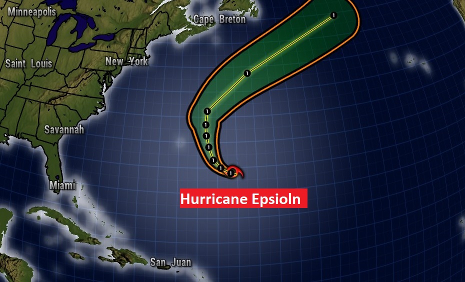
TROPICAL OUTLOOK: That area to watch in the Caribbean is now off the map. The only show now is Hurricane Episolon in the central Atlantic with 85 mph winds. The rest of the Atlantic, the Caribbean and the Gulf of Mexico is quiet.
- –
I’ll have another Blog Update in the morning. You can hear my forecast every hour across the dial on the 8 Bluewater Broadcasting radio stations. Have a great day. I’m going to try and get some rest.
–Rich