
What a difference this morning!
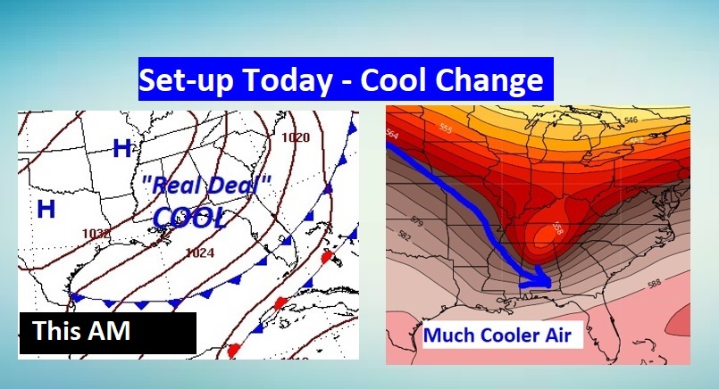
How about a series of storm-free days and much cooler air? The first of two cool fronts has delivered some very cool air, just in time for the Halloween weekend. The second shot of Much Cooler air arrives late in the weekend. Could we see some mornings teasing the upper 30’s by the start of next week?
Meanwhile, in the tropics, I’ll tell you about Invest 96-L. And, there’s a time change and a Full Blue Moon This Weekend.
TODAY: Breezy and cool behind the first of two cool fronts. Cloudiness in the AM will give way to sunshine later. High in the middle 60’s. (Normal high 75). North wind 10 to 20 mph. Clear, chilly tonight. Jacket weather. Low 47.
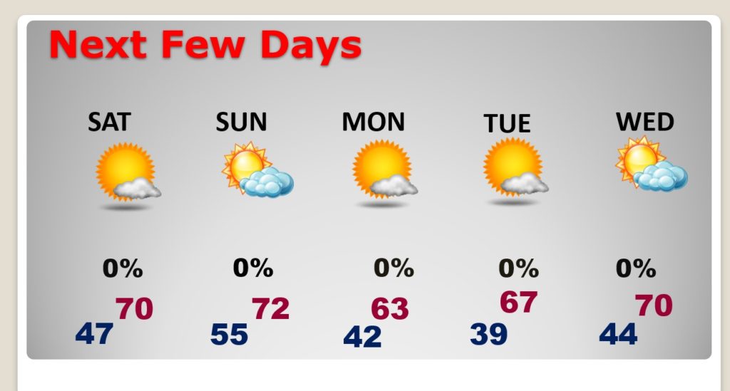
NEXT FEW DAYS: Beautiful Halloween forecast. Another front approaches late Saturday night and early Sunday. Dry front. MUCH cooler follows front number two. Maybe upper 30’s Tuesday morning? Storm-free for several days.
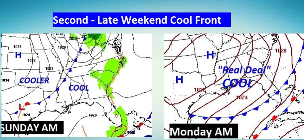
The SECOND COLD front moves through late Saturday night/Sunday AM. It will deliver the coolest air of the Fall season so far.
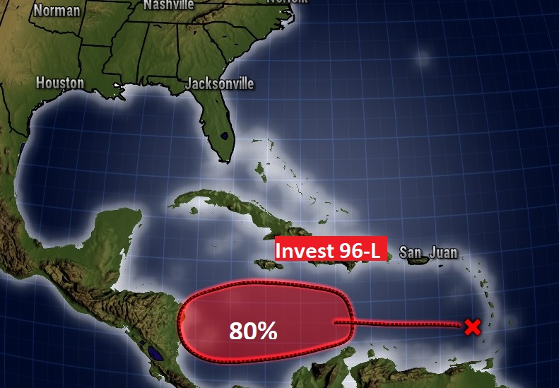
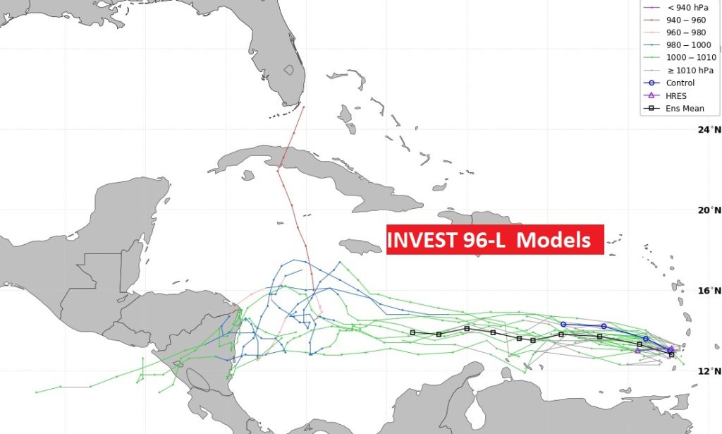
INVEST 96-L: YES. There IS another tropical concern in the Caribbean, and YES, there’s a good chance this system will become a Tropical Cyclone. BUT, it looks like it won’t bother us in this part of the world. If it gets the name ETA, we will have the all-time record Hurricane Season of all time.
TIME CHANGE THIS WEEKEND: Don’t forget to Fall Back this weekend, as we go back to Standard time. Technically, you could say Halloween is an hour longer this year. There is ALSO a Full Blue Moon. (2nd Full Moon in October)

- –
I hope all of you have power back this morning.
I am sleeping a lot and traying to feel better. Thanks for checking on me. ????
I will have another Blog Update for you tomorrow morning, bright and early, before Dawn. Have a great Friday! Enjoy this nice air.
–Rich