
Good morning! It’s been a great first weekend in December. Spotty showers are possible later this afternoon, with a better chance this evening Temperatures will be very mild today.
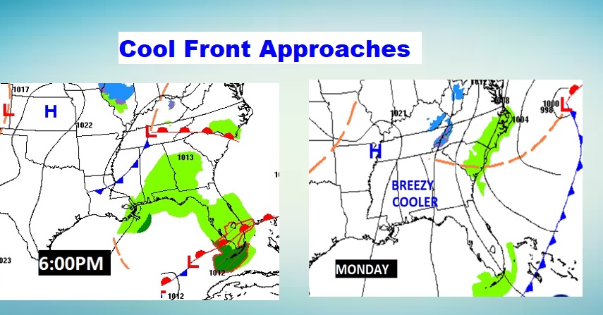
The approaching cool front will bring showers this evening, and cooler air behind it. While Monday through Wednesday morning will be chilly, a nice warming trend begins Wednesday afternoon through the end of the week. The next storm system will affect us, by Friday night into Saturday.
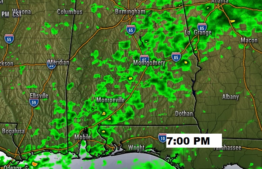
TODAY: Patchy morning fog. Increasing clouds today. Much of the day will be dry, but widely scattered afternoon showers will pop up. Showers will be more likely this evening. High today 62. Cooler tonight. Low 41. Here’s a Future Radar snapshot at 7PM.
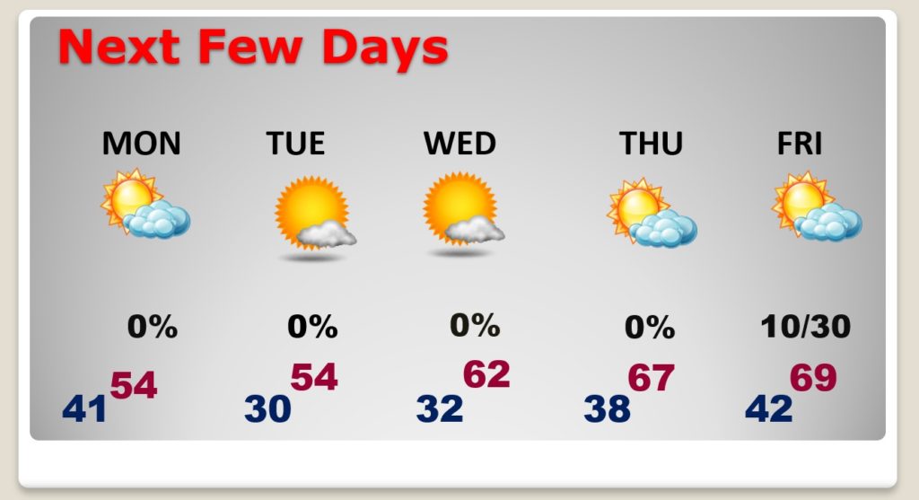
NEXT FEW DAYS: Chilly Monday and Tuesday. Look for a freeze Monday night and Tuesday night. NICE warming trend begins Wednesday. Storm-free until perhaps Friday night.
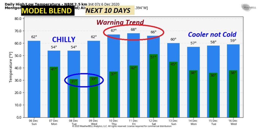
Here’s a profile of some of the ups and downs over the next 10 days.
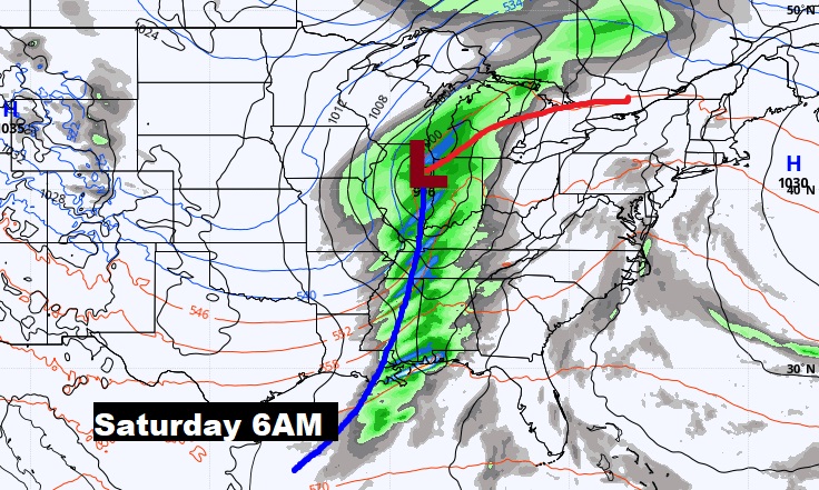
NEXT STORM SYSTEM: Right now, looks like the nest storm system will affect the area next Friday night into Saturday, with showers and thunderstorms. Then, maybe another “big deal” system one week later, sometime around Friday the 18th.
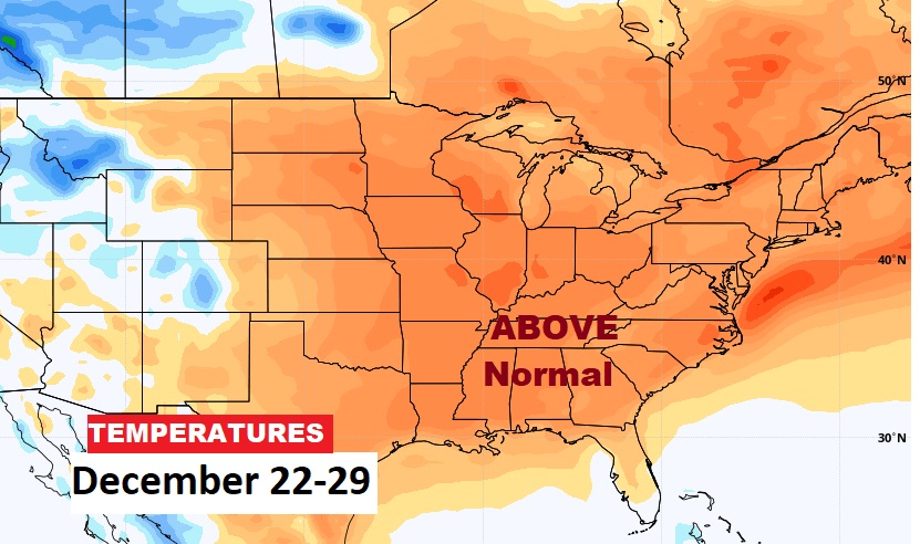
LATE DECEMBER: Many models continue to suggest warmer than normal temperatures in the later part of December. Here’s a peak at the EURO model.
—
I’ll have a complete video update in the morning. Enjoy your Sunday.
–Rich