Good Morning! A storm system moving eastward along the Gulf Coast will bring in some miserable Monday weather, with a COLD Rain for most of us, and perhaps a brief period of a Wintry Mix (sleet & rain) for some towns in western and north central Alabama today. On this video, I’ll show you what areas could be venerable this morning. And, we’ll look at the week ahead, including a late week warming trend.
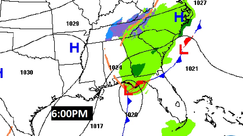
The Low pressure storm system moves eastward along the Gulf coast today.
Miserable day. Cold rain for most of us. Rain will end during the evening tonight and exit the state before Midnight.
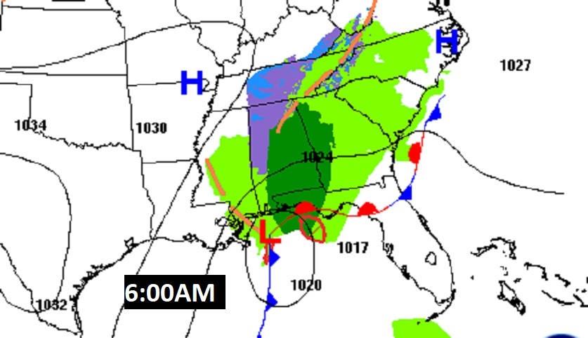

COLD Rain for most of us but, parts of western, and north central Alabama could see a few ice pellets (sleet), mixed in with the rain, briefly this morning. NO travel impacts are expected.
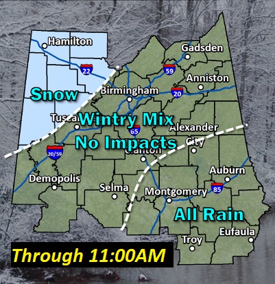
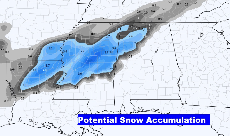
Accumulating snow is possible in extreme northwest Alabama.
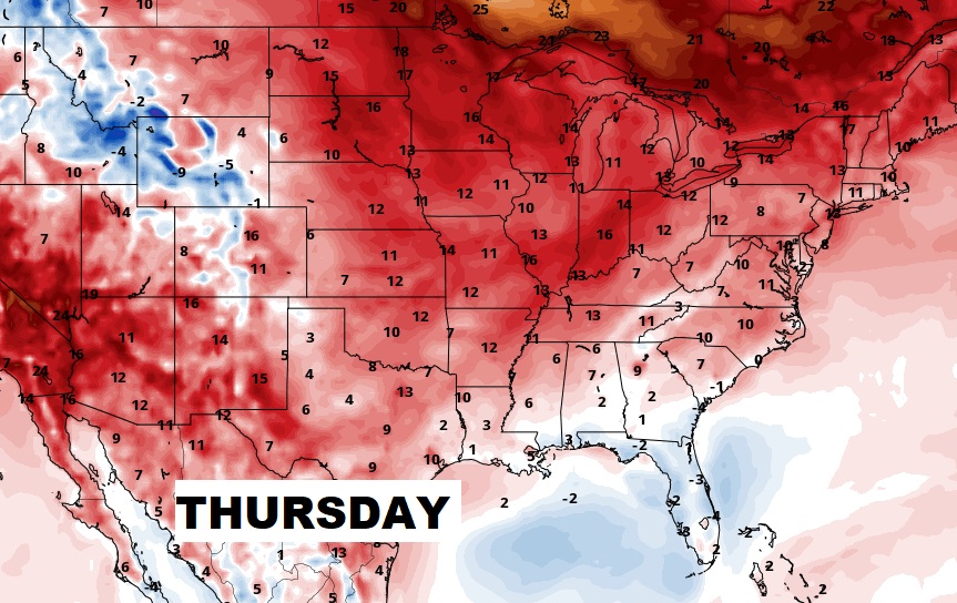
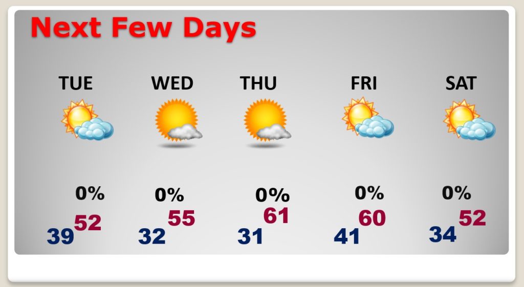
BRIEF Warming trend Thursday. 60 degrees would seem like a heatwave.
Tuesday will be chilly. Freezing on Wednesday and Thursday morning. Nice temperature recovery Thursday and Friday. Windy and chilly Saturday.
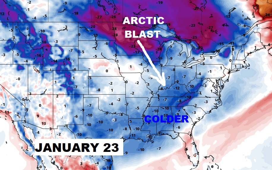
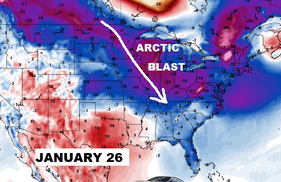
There are more “Cold Shots” are in the pipeline later in the month.