
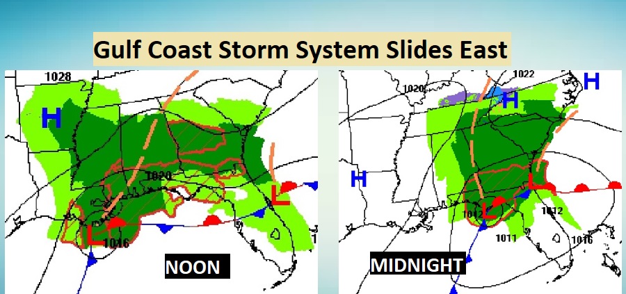
Good Morning! The forecast for today and tonight is fairly easy. It’s going to rain. A low pressure system will slide eastward along the northern Gulf coast today and tonight. Because the low will track south of us, there will be no severe weather.
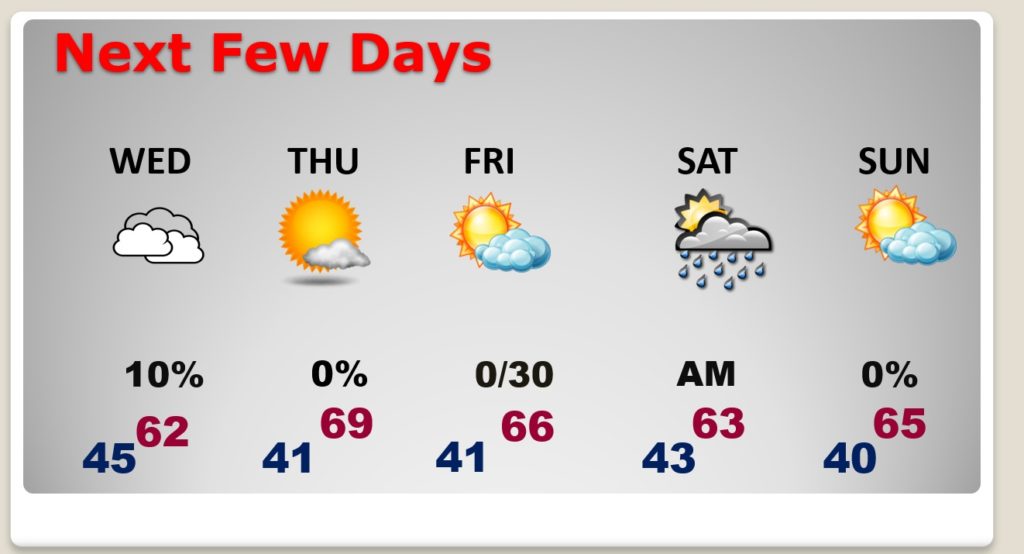
The low will track east of the area by Wednesday morning, ending the rain threat. The rest of the week should be better. The best day will be Thursday as we warm to near 70. Except for a small rain chance Friday night and Saturday morning, the next several days, after today, looks storm-free.
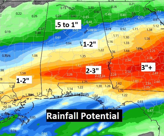
TODAY: Periods of rain today. The most concentrated rain arrives by about lunchtime. Rainfall could be locally heavy later on this afternoon and tonight. Thunderstorms can’t be ruled out, especially this evening and tonight. Chilly. High 53. East wind 10 to 15. Low tonight 45.
A couple of Future Radar snapshots.
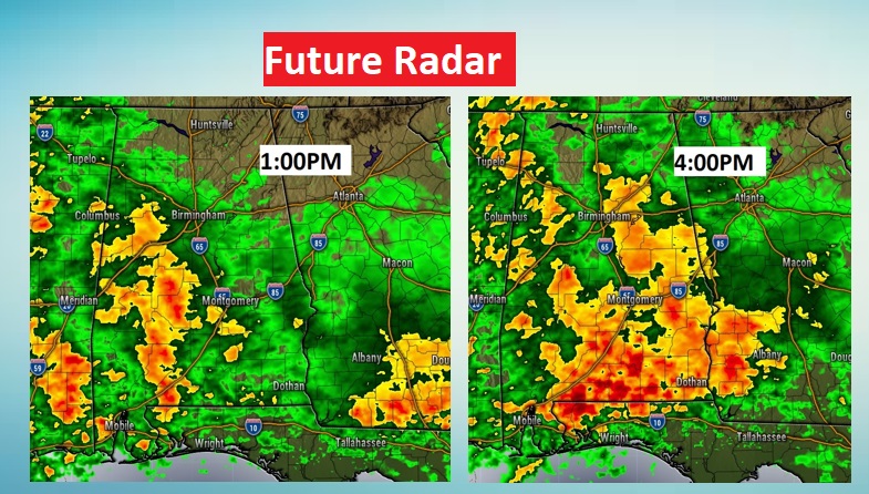
Locally heavy rainfall in spots.
WEDNESDAY: Mostly Cloudy, but dry. Not quite as chilly. High 61. (Normal High 65). Low Wednesday night near 40.
NEXT FEW DAYS: Thursday will be the BEST day of the week. Sunny & warmer, high near 70. A cool front could deliver a few showers to the area Friday night and Saturday morning. It will turn a little cooler Saturday, behind the front. But, all in all, it should be a pretty nice weekend.
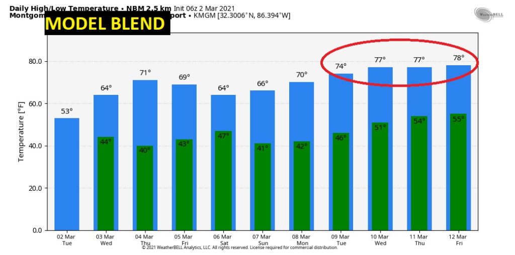
Looking ahead, here’s the “model blend” for the next 10 days. No freezing temperatures. No Arctic Air. Take a look at those nice temperatures next week! I don’t see any Severe Weather in the next 10 days.
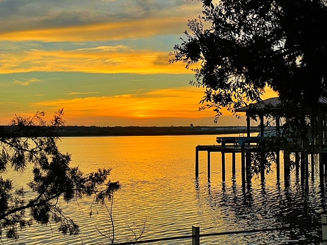
Dinner last night with a party of nine…friends and family. Sunset along the intercoastal waterway, Vilano Beach, Florida.
Today is a travel day for me. I’ll finally have complete video update for you tomorrow morning. “Daddy will see you later today Chase!” ????
–Rich