
Good Morning! It’s unusually cool Saturday morning. Temperatures at Dawn will be in the mid to upper 40’s. But, after the morning chill fades, we have a nice Saturday warm-up ahead. It should be a great Mother’s Day weekend. Lots of sunshine and a big warm-up on Sunday. Perfect for afternoon cook-outs.
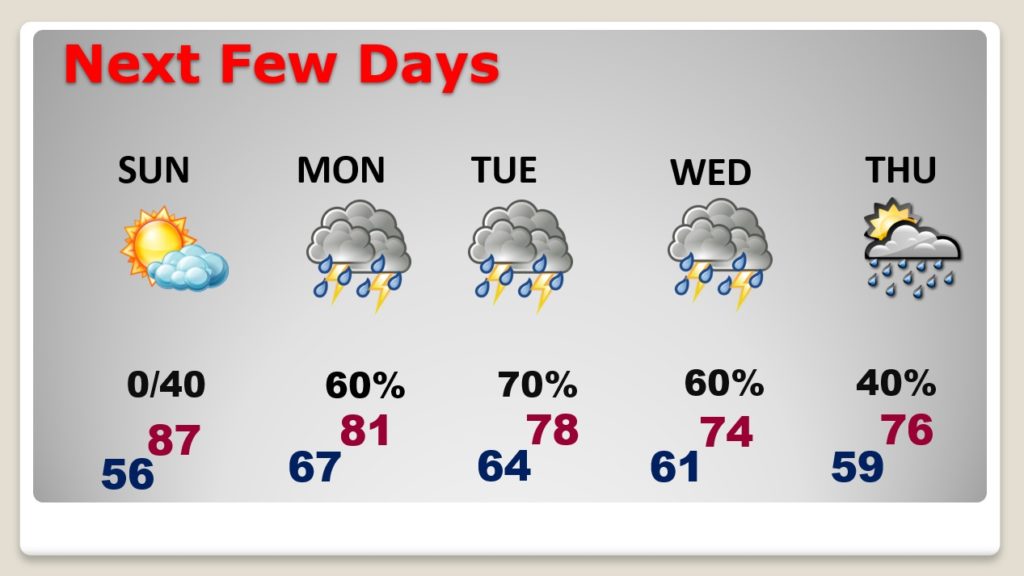
Enjoy the weekend because we have another wet and active week ahead. Monday through Thursday will be stormy at times. Rainfall amounts could be quite heavy in spots. Details below…
TODAY: Chilly start to the day… in the 40’s near Dawn. But, there’s a great day ahead. Sunshine, blue skies will dominate. Low humidity. Nice afternoon warm-up..hi82.
MOTHER’S DAY: Nice Sunday. Lots of sunshine. Warmer. Upper 80’s. Dry Sunday evening. Showers and storms hold off until the overnight hours Sunday night.
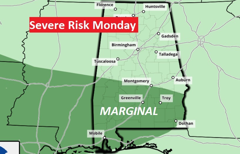
WET & STORMY WEEK AHEAD: An Approaching front will bring a round of showers and storms to the state Monday. Some storms could be strong to severe especially across the southern parts of the state, along and south of the US 80/I-85 Corridor. Damaging wind gusts is the main risk.
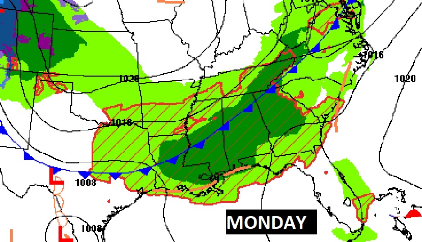
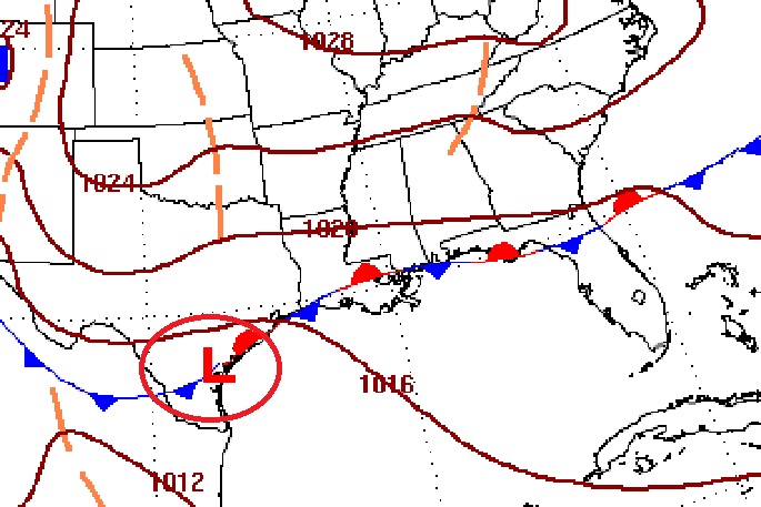
During the week, as a frontal system stalls along the Gulf Coast, waves of low pressure will move along the front, bringing rounds of showers and storms for much of the week through Thursday. Friday looks dry and nice.
Rainfall amounts could be quite heavy in spots.

NEXT FEW DAYS: Wet times Monday through Thursday. Showers and thunderstorms. Much better weather begins Friday.
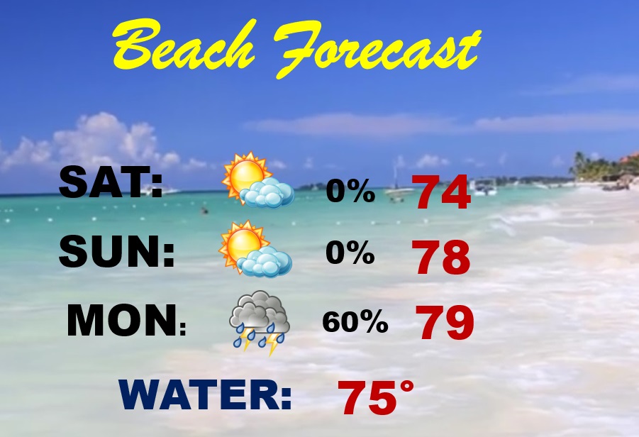
BEACH FORECAST: Great weather today and Mother’s Day Sunday. Wet and stormy days begin Monday. MODERATE Rip Current Risk today. Gulf water in the mid 70’s
.
There will be another blog update in the morning. Have a nice Saturday!
–Rich