Welcome to September! I’m happy to day Ida’s Effects have left our forecast. Today will be more routine. The big news involves and approaching frontal system, which will bring line of showers and storms to the area this evening. This is the front which will deliver some much nicer air to Alabama from late week into at least part of the Labor Day weekend. In fact, we’ll see a few nights/mornings in the 60’s with lower humidity. How long will that last? On this video, I’ll take us through Labor Day for here and the Gulf Coast Beaches. Plus, an update on the Tropics, which are very busy right now.
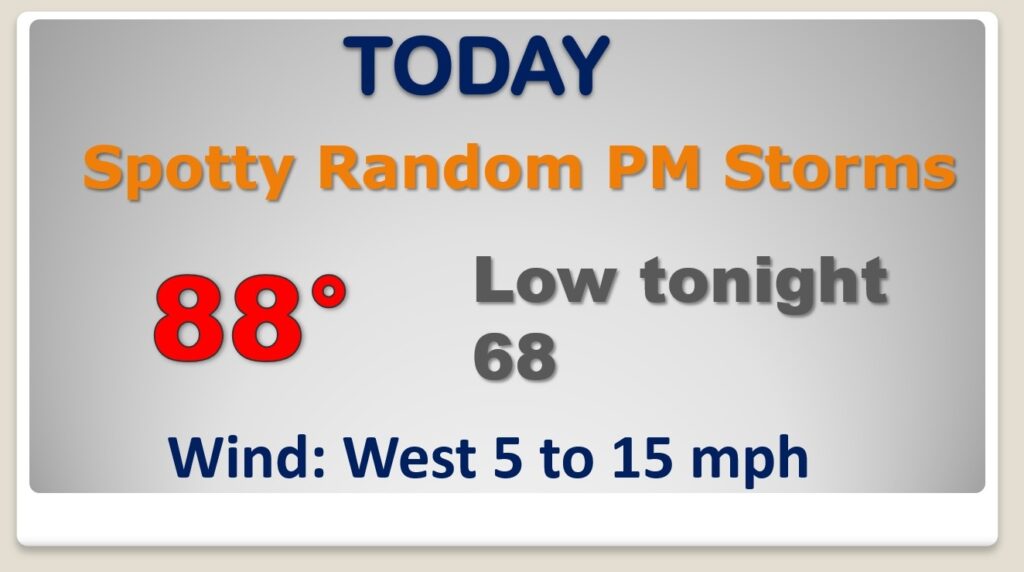
Much of this day will be quite. Partly sunny. Upper 80’s Best chance of showers and storms arrives this evening as a frontal system moves southward toward central Alabama.
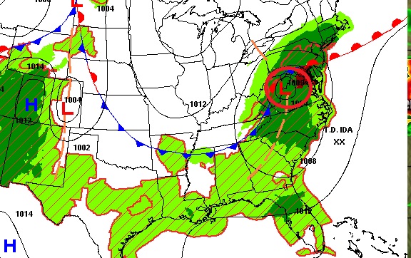
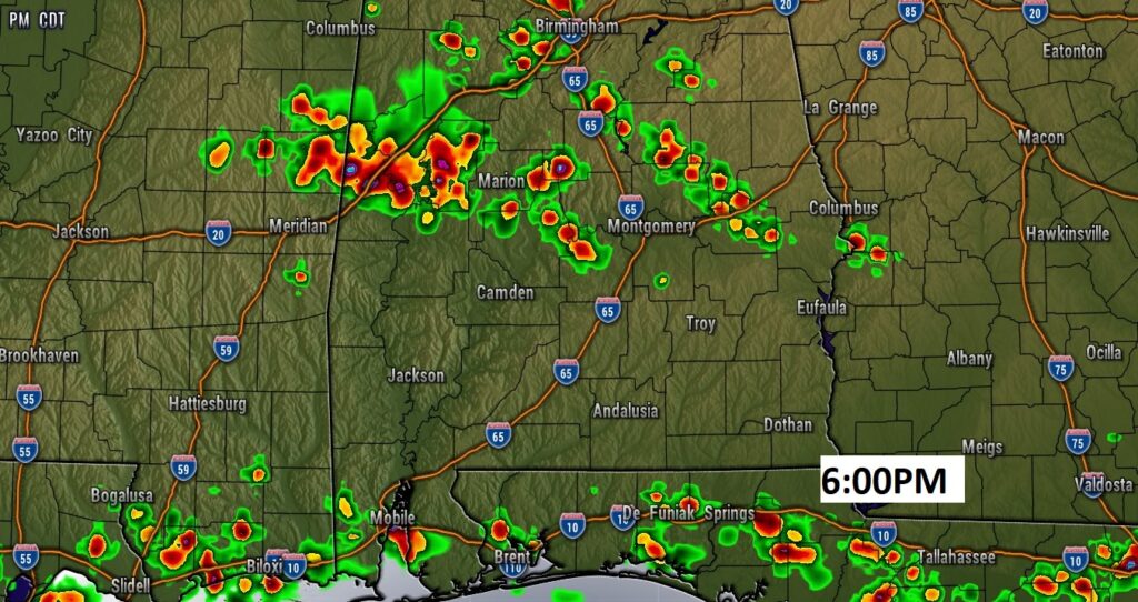
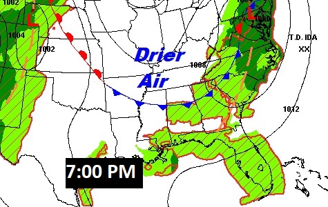
The front, which will deliver the nicer air will make it into central Alabama tonight and into south Alabama tomorrow.
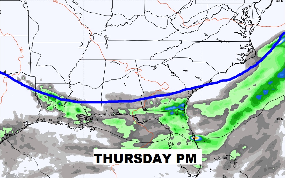
Nicer days with lower humidity and comfortable nights are in the cards Thursday through Saturday. Another front could deliver more showers and storms by Sunday night into Labor Day Monday.
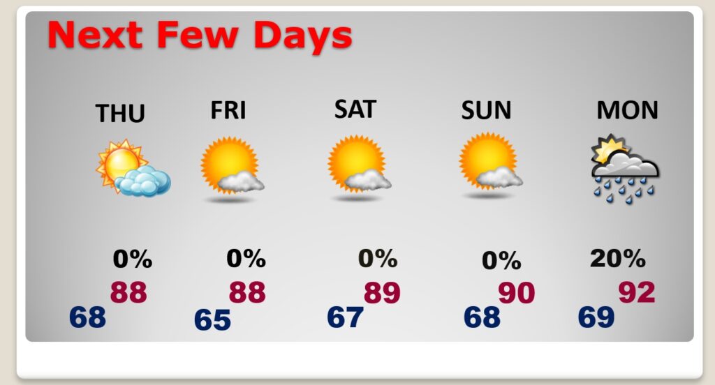
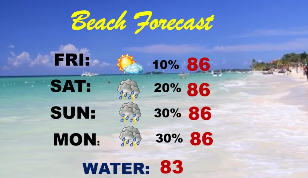
Pretty nice Beach weekend for the Labor Day Weekend.
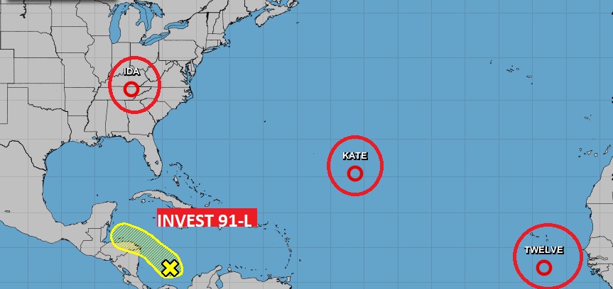
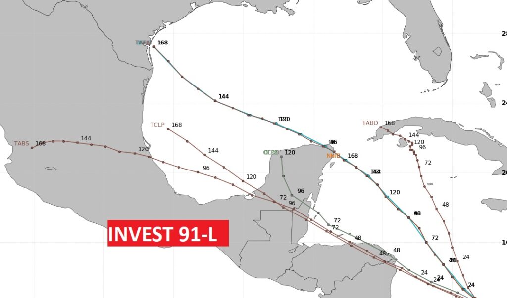
The Tropics are busy. Probably the feature we most care about is Invest 91-L in the Caribbean, because it’s in our backyard. It may eventually track into the Gulf.