
Good Morning! Here’s my brief video forecast discussion.
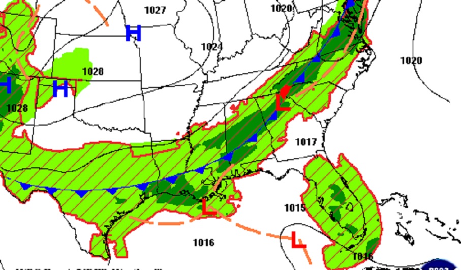
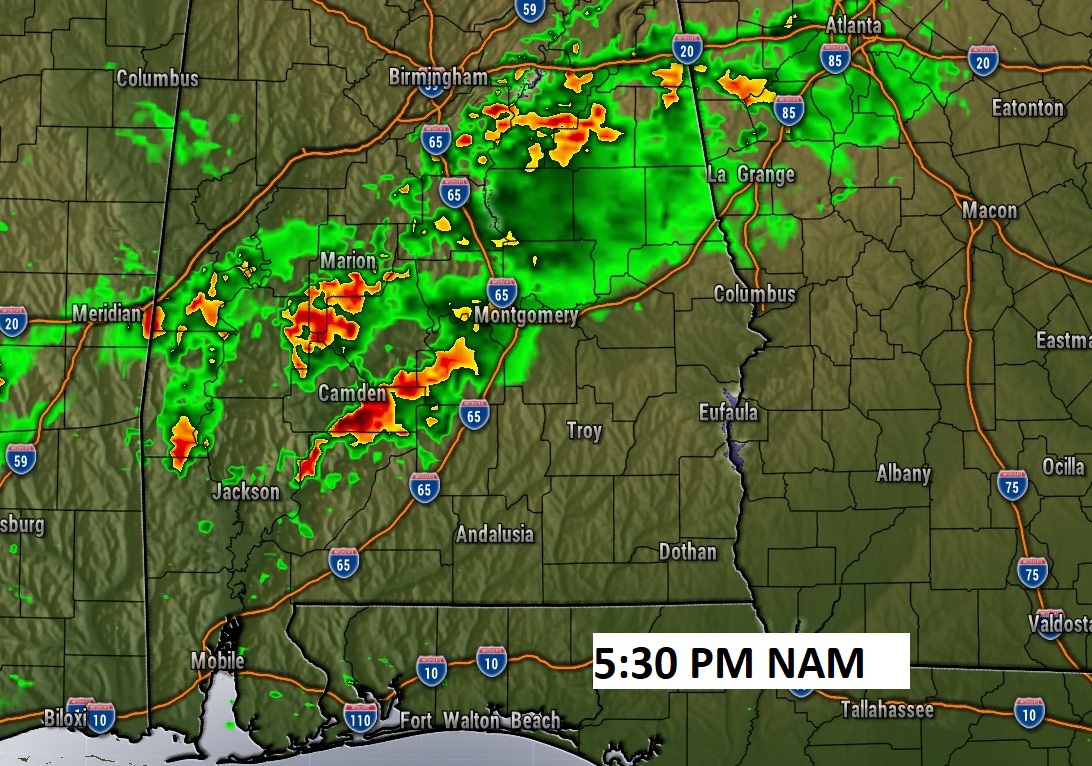
TODAY: Hot & humid today. High 94. Triple digit heat index. Scattered Random showers & thunderstorms today, most numerous in the afternoon & evening hours. A couple could be quite strong. Some towns will get no rain at all. Other towns will get very heavy rain. Low tonight 72
A southward moving front will be the focus for increased storms today.
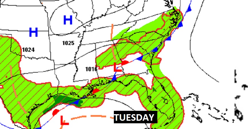
NEXT FEW DAYS: Very little day to day change. Hot & humid. Highs mostly low 90’s Scattered Random showers & thunderstorms, most numerous in the afternoon & evening hours. A couple could be quite strong. Some towns will get no rain at all. Other towns will get very heavy rain. Not much change through Saturday.
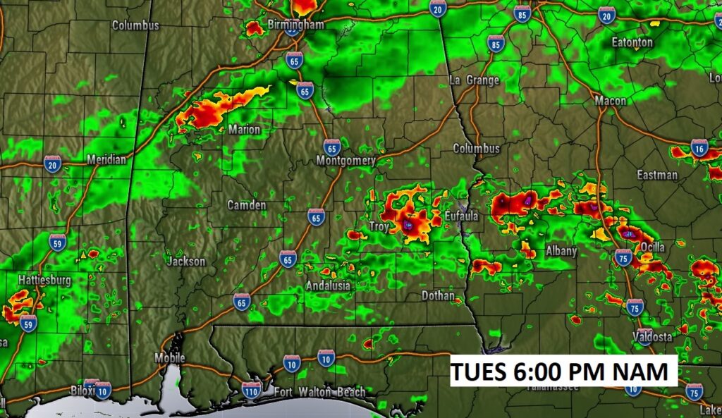
Here’s a future radar snapshot late Tuesday as the front stalls.
TROPICAL UPDATE: NHC is tracking two Area’s to Watch. But, the star of the show is Invest 94-L. This system now has 90% chance of becoming a Tropical Cyclone in the next 48 hours.
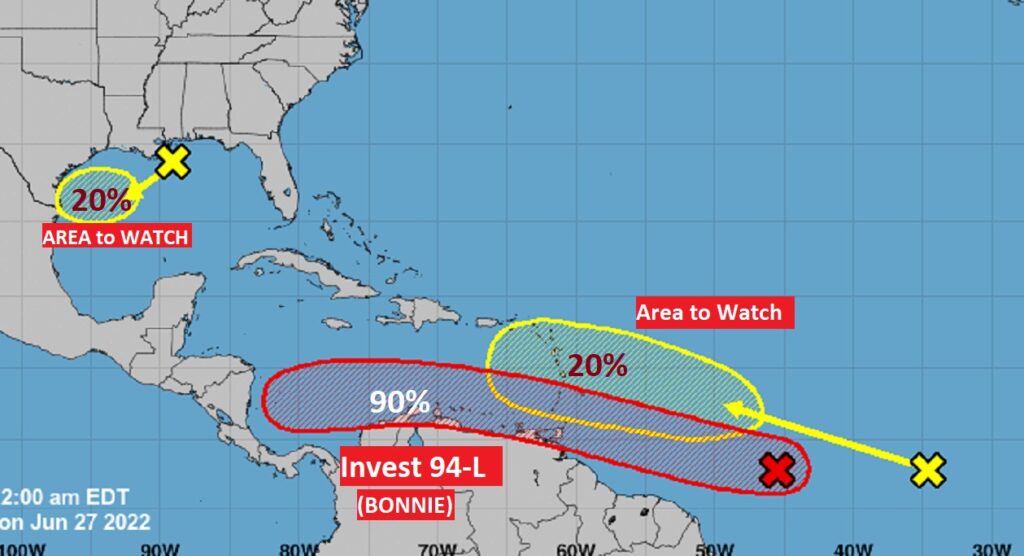
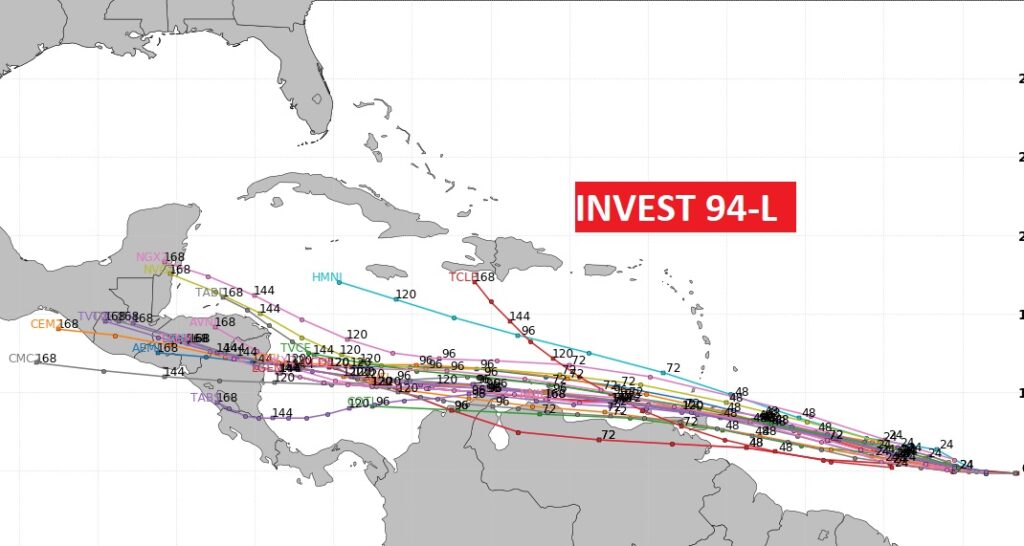
Almost every model keeps this system moving westward at a very low latitude.
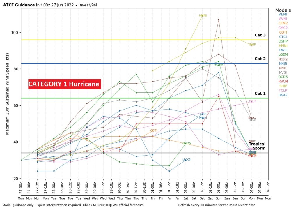
Most models suggest this system could become, at least Cat one hurricane Bonnie by mid week. Some models make it even stronger.
—
Thanks for reading this Blog this morning! This morning we are LIVE on the radio from 6 to 9 on NewsTalk 93.1. Watch us on TV on CBS 8 and ABC 32. I’ll have another update for you in the morning. Have a nice day.
–Rich