
Good Morning! Here’s my brief video forecast discussion.
TODAY: Limited sunshine, again. High near 89. Scattered to numerous random showers & thunderstorms, not just in the afternoon and well into the evening hours. Showers and storms will continue tonight. Some storms could be strong with damaging wind gusts. Low tonight 73. Like yesterday, the better rain chance would be along and south of I-85.
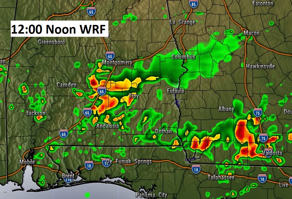
There will be TWO weather players today. The tropical trough near the Gulf Coast has moved inland into South Alabama. There’s also a frontal system stretched across north Alabama.
Here’s a Future radar snapshot at 8PM 12 Noon. There will be cluster of storms affecting central and south Alabama.
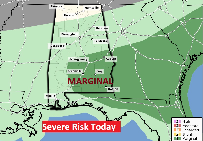
SPC, once again, has a Marginal Severe Risk. Damaging wind gusts in the main threat.
TROPICS: The the tropics are quiet for now.
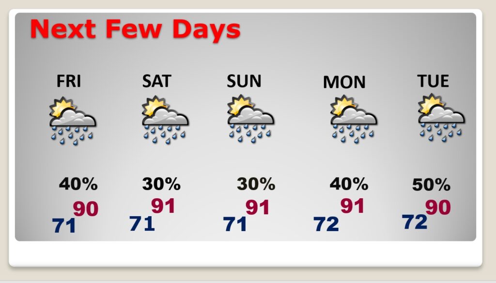
NEXT FEW DAYS: Scattered showers & thunderstorms, each day, most numerous in the afternoon & evening hours. Highs around 90. Low at night low 70’s. Over the weekend, the number of storms will “thin out” a bit.
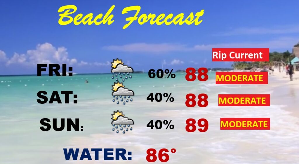
BEACH OUTLOOK: Unfortunately for beach goers…the better than normal rain chances continue , especially today through Friday & Saturday. (I cancelled my Beach Trip) Moderate rip current risk. Gulf water Temperature 86.
—
Thanks for reading this Blog this morning! I’m officially OFF today and tomorrow. BUT, there will be another update for you tomorrow morning. Have a nice day.
–Rich