
Good Morning! Here’s my brief video forecast discussion.
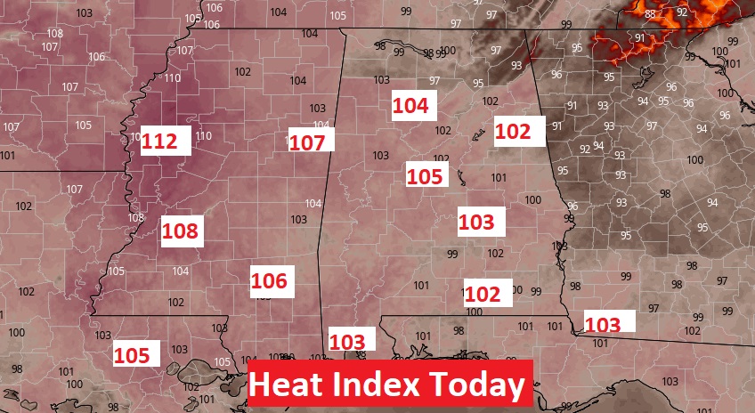
TODAY: Sun/Cloud Mix. Very Hot & Humid. Today’s High near 95. Heat index 102 to 105. Scattered random showers & thunderstorms mainly in the afternoon & evening. Low tonight 74.
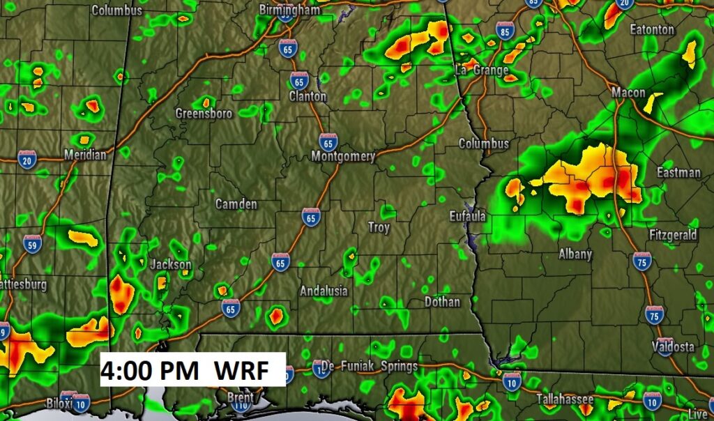
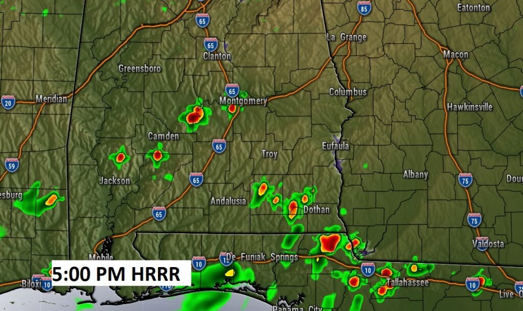
Future Radar shows another routine day on storm coverage. Here’s two examples of hi-res models. The HRRR at 5:00 PM may be a little underdone. The WRF model at 4:00 may be a little overdone. Interesting to see the differences.
Excessive Heat Indices across the Gulf South today.
.
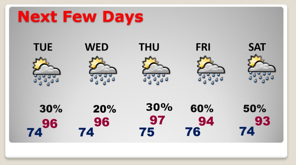
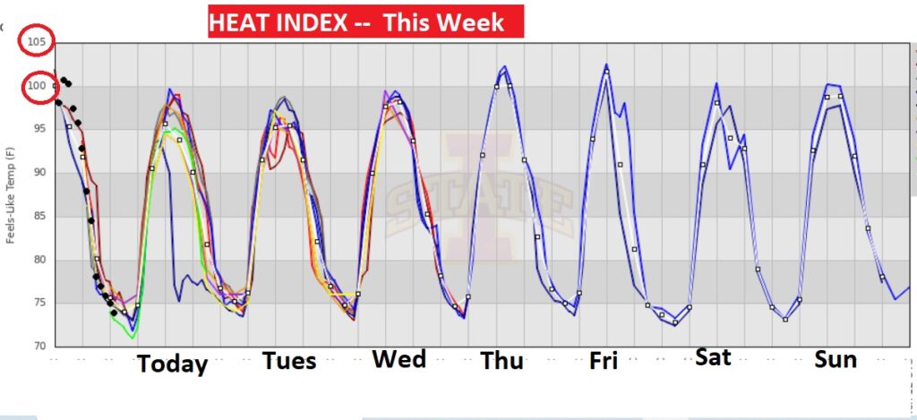
NEXT FEW DAYS: Good bit of sun. High in the mid 90’s. Heat index close to the 105 danger level. Low at night mid 70’s. Not much day to day change through Thursday. Scattered random afternoon & evening storms. Rain chances get a lot better by Friday.
The daily heat indices this week will be oppressive.
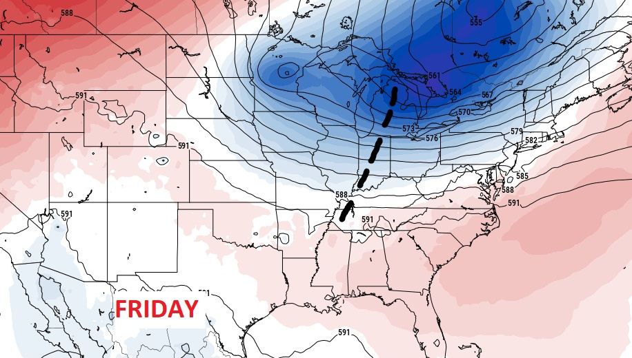
An approaching upper trough should greatly enhance the rain chances by Friday & Saturday.
TROPICAL OUTLOOK : The tropics continue quiet for now.
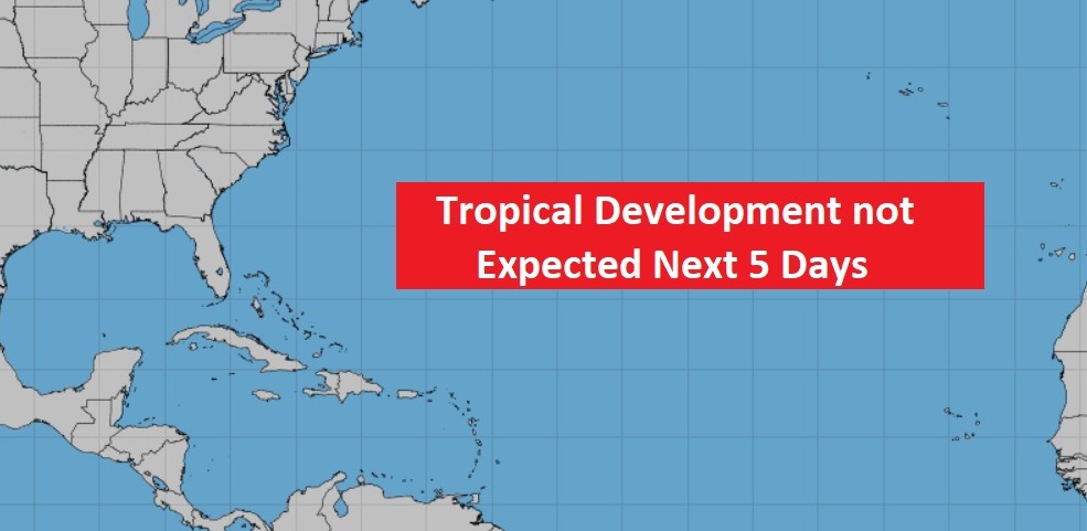
It’s not just quiet in the Atlantic basin. Right now there is a lack of tropical cyclone around the world.

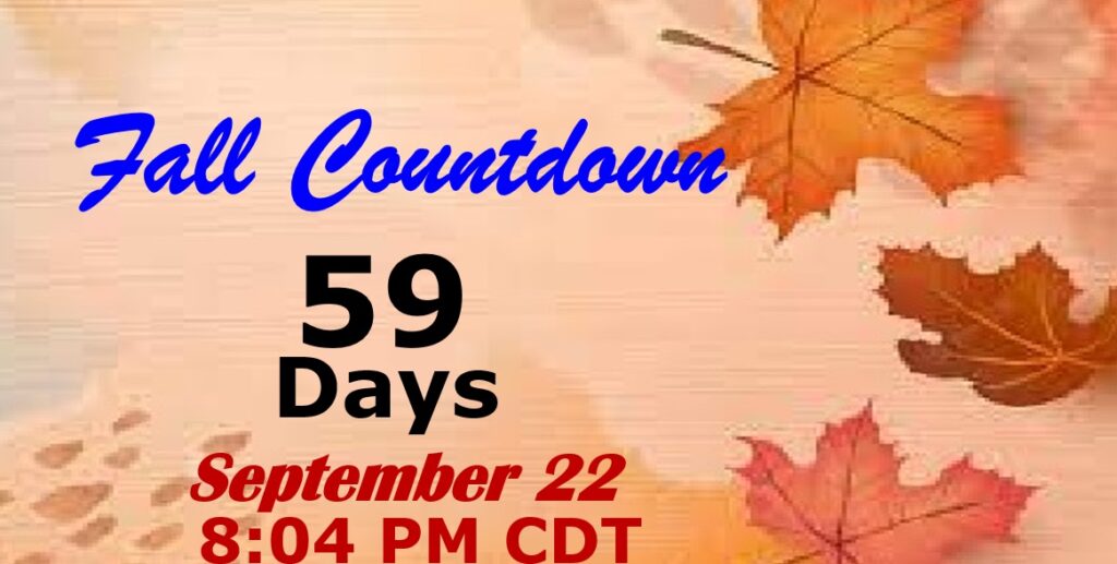
FALL COUNTDOWN: 59 days….Hang on!
—
Thanks for reading this Blog this morning! This morning we are LIVE on the radio from 6 to 9 on NewsTalk 93.1. Watch us on TV on CBS 8 and ABC 32. I’ll have another update for you in the morning. Have a nice day.
–Rich