
Good Morning! Here’s my brief video forecast discussion.
CLIMATE DATA: Yesterday’s high in Montgomery was 95, with a Heat Index as high as 103. Morning low 73. Normal High/Low 94 and 72. Rainfall: 0.0”. Sunrise at 5:57 AM
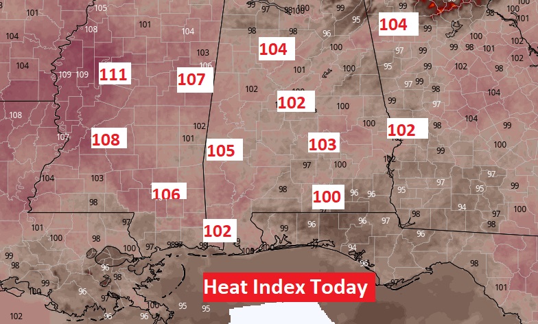
TODAY: Sun/Cloud Mix. Very Hot & Humid, again. Today’s High near 97. Heat index 102 to 104. Not many storms, again. Widely Scattered random showers & thunderstorms mainly in the afternoon & evening. Isolated. Low tonight 75.
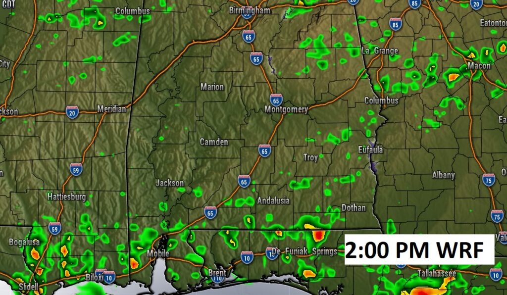
Future Radar (WRF) suggests there won’t be much activity again today. Showers and storms will be few and far between.
Excessive Heat Indices across the Gulf South today. Oppressive/dangerous Heat Indices.
.
.
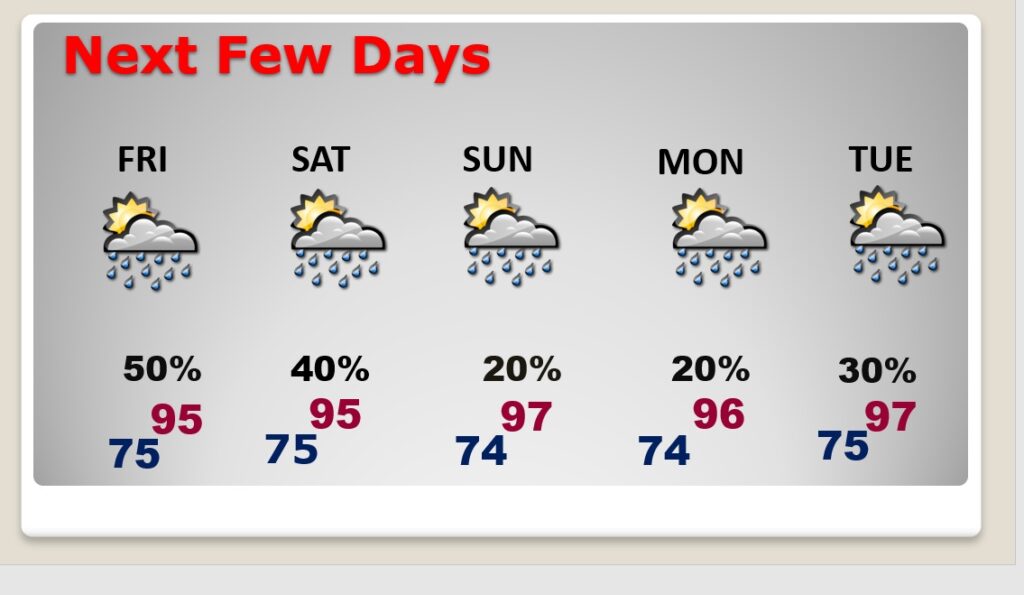
NEXT FEW DAYS: The radar will be a little more active Friday and Saturday. Scattered random afternoon & evening storms. Rain chances return to a more routine summertime normal Sunday through Tuesday, as July ends and August begins. Highs still in the mid 90’s. Triple digit heat indices
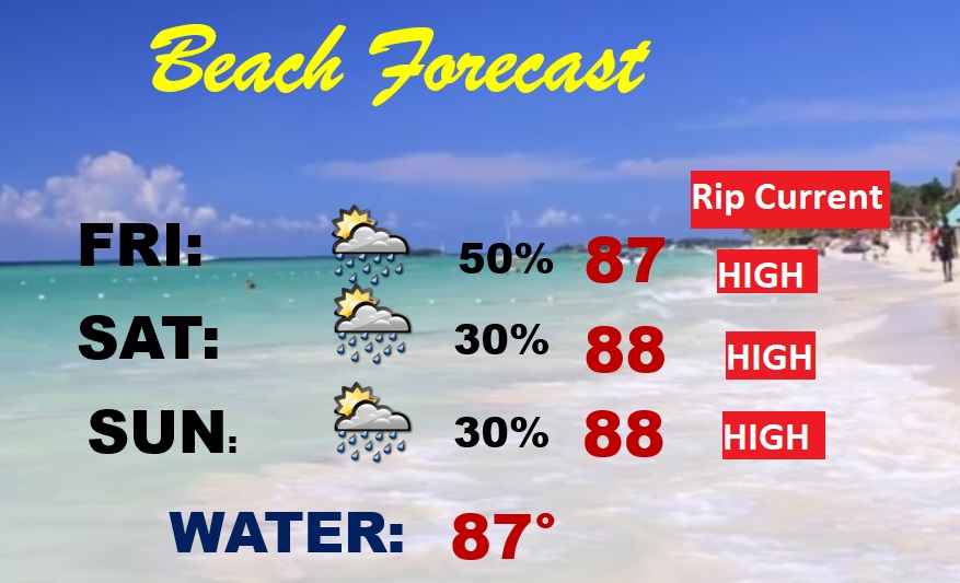
BEACH OUTLOOK: Pretty routine forecast continues. A good bit of sun. High in the upper 80’s. Scattered random storms each day. Gulf water temperature 86. Watch the flags on the Beach. High Rip Current risk…especially fom Destin eastward.
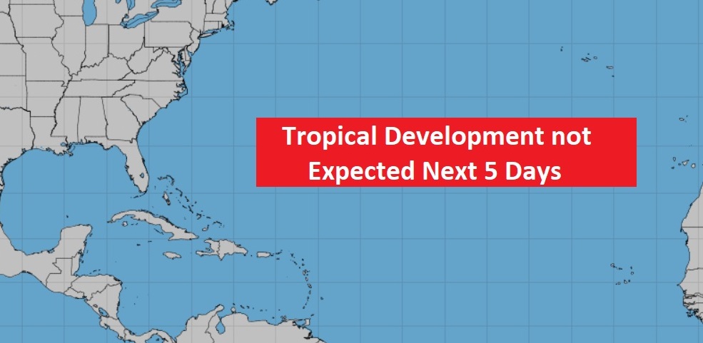
TROPICAL OUTLOOK : The tropics are STILL very quiet for now.
Hang on!!
Chase watching daddy build graphics and write the Blog.

—
Thanks for reading this Blog this morning! This morning we are LIVE on the radio from 6 to 9 on NewsTalk 93.1. Watch us on TV on CBS 8 and ABC 32. I’ll have another update for you in the morning. Have a nice day.
–Rich