
Good Morning! Our weather news continues good, with little or no effects from Ian. Here’s my brief video forecast discussion.
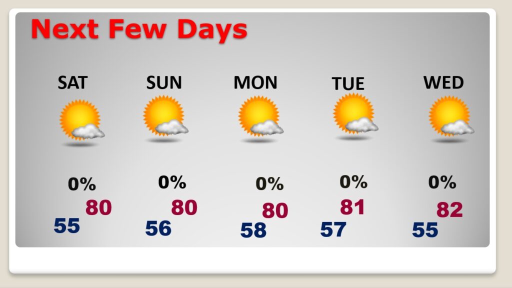
TODAY: Don’t expect many changes. Abundant Sunshine. Breezy again, but not as breezy as the last few days. Very comfortable. Low humidity. High in the upper 70’s to near 80. NE wind 6 to 16 mph. A few higher gusts. Clear and pleasantly cool again tonight. Low 55.
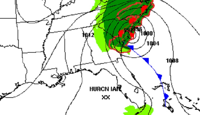
All quiet in Alabama this morning. All the drama stays east along the southeastern US coastline.
NEXT FEW DAYS: Our great fall Weather continues through for the next few days. We should stay dry and sunny through the weekend. Not as breezy. storm-free pattern for us will continue through next week. We’ll be in the upper 70’s to near 80 through the weekend. Nights will be pleasantly cool, mainly in the 50’s.
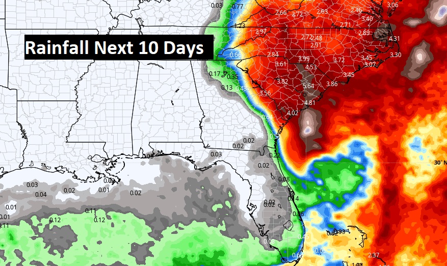
Don’t expect any rain. This is exactly normal in late September and October. We should be dry for several more days.
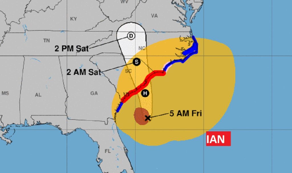
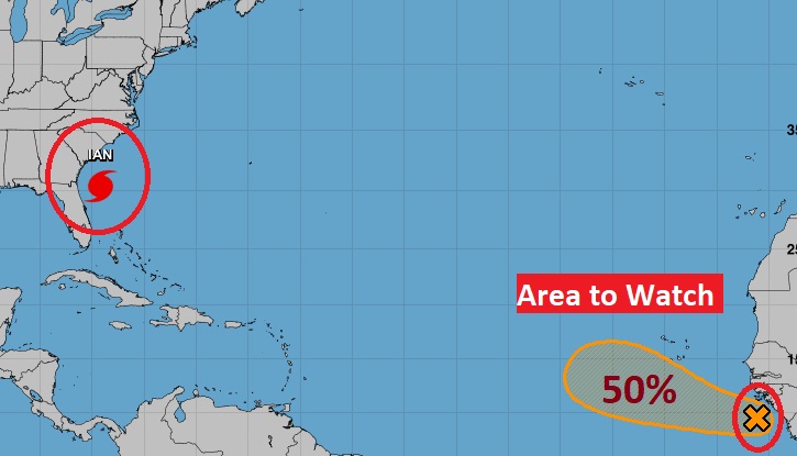
TROPICAL OUTLOOK: Hurricane Ian is aiming for South Carolina this morning. Now located 240 miles south of Charleston, moving NNE at 17. Winds now 85 mph. Expected to make landfall before lunchtime.
Elsewhere in the Tropics, There is an Area to Watch in the far eastern Atlantic. It has a 50% chance of development in the next 5 days.
Thanks for reading this Blog this morning! I’ll have another update for you in the morning. Have a nice day!
–Rich