
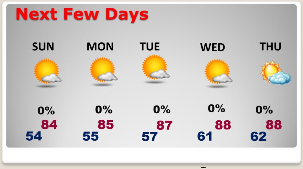
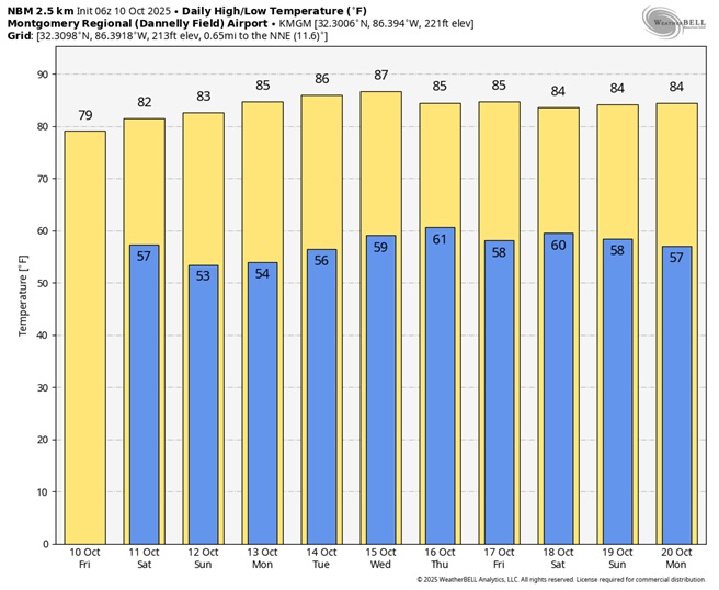
Good Morning! We are enjoying a perfect Fall Weekend. Days are comfortable with low humidity and a nice breeze. Highs expected in the lower 80’s today, and low to mid 80’s Sunday. Jacket weather nights continue with lows in the 50’s. Expect a warm-up next week. Middle 80’s on Columbus Day Monday. Expect upper 80’s to return Tuesday and Wednesday. Meanwhile, the Drought continues to worsen. Not a drop of rain is expected in the foreseeable future.
TODAY: Sunshine. Low humidity. Nice Breeze. High in the lower 80’s. North wind 6 to 12 mph. Clear and cool tonight. Low 54.
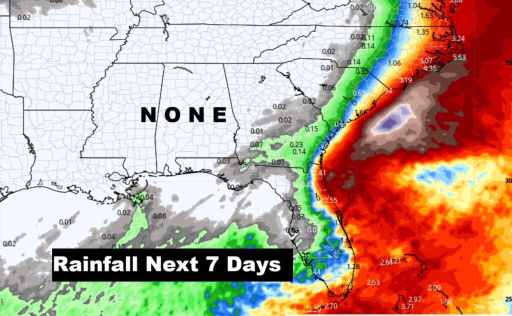
NEXT FEW DAYS: Some nice Fall air is in place with low humidity days and jacket weather nights. Should be a great Fall Weekend. Meanwhile, the Drought continues to worsen. Not a drop of rain is expected in the foreseeable future.
No rain is expected for the next several days.
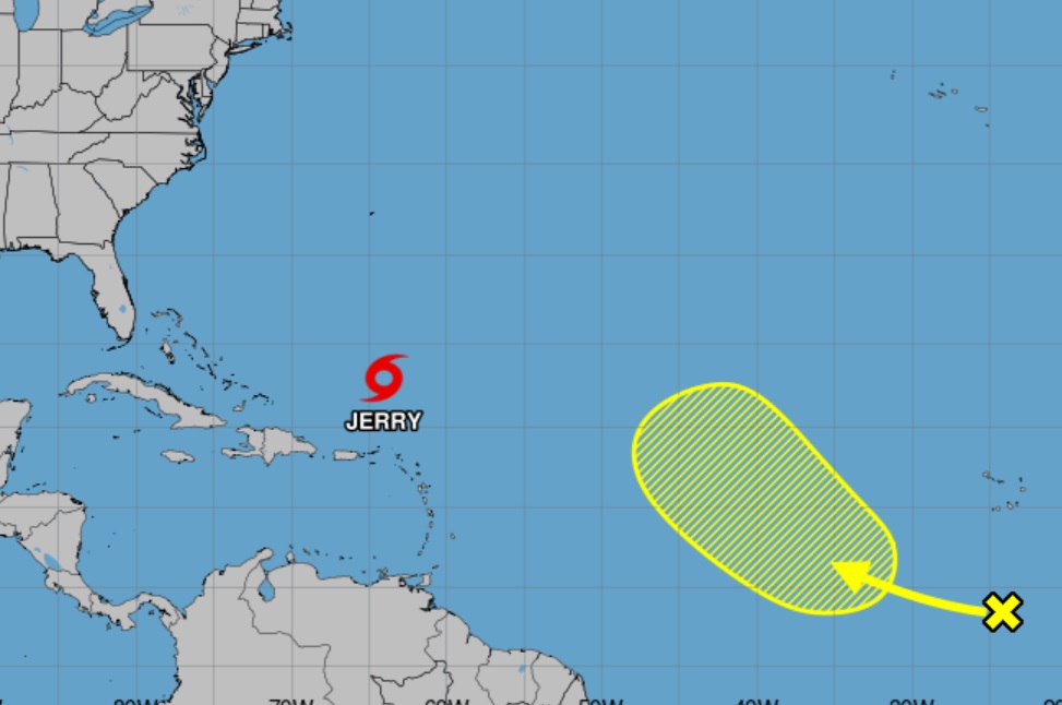
TROPICAL:
The next scheduled Blog update and Video Discussion is scheduled for Monday morning in the 4 o’clock hour. Have a nice weekend!
–Rich