
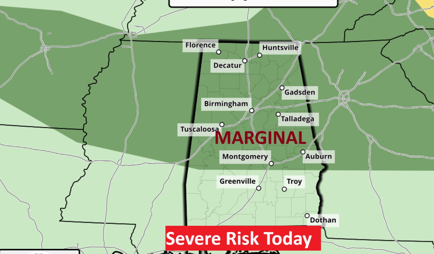
Good morning! No surprises today. High 88 to 90 with a sun and cloud mix. Pretty routine for June. Random Showers and storms will be most numerous in the afternoon and evening hours today. But, radar is about to become very busy over the next several days. Tropical moisture will invade the Gulf south, starting Friday, but increasing over the Father’s Day weekend, and well into next week. There will be numerous showers and storms, just about anytime, but especially in the afternoon and evening hours. There will be tropical downpours with locally heavy rainfall amounts. Some storms could be strong. Be flexible with your weekend plans here and across the Gulf coast beaches. Here’s my brief video forecast discussion.
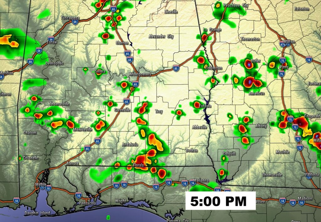
TODAY: Sun/Cloud mix. High 88 to 90. Random, scattered showers and storms most numerous in the afternoon and evening hours. Low tonight 72. Storm risk fades overnight.
FUTURE RADAR: Pretty typical. Random scattered showers and storms, most numerous inn the late afternoon and through the evening hours, before fading overnight.

NEXT FEW DAYS: Over the weekend tropical moisture will invade the state. We’ll be between and Upper Low to the west, and a upper high to the east. Numerous showers and storms especially in the afternoon and evening for the Father’s Day weekend. Highs in the upper 80’s to near 90. Lows at night in the lower 70’s. Tropical downpours will be numerous.

The influx of tropical moisture will lead to widespread showers and storms soaking the Southeastern US this weekend and beyond.
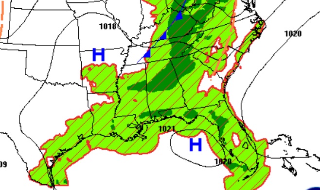

Wet times will continue. Storms will be random, but numerous especially this weekend.

BEACH FORECAST: Be flexible. Numerous showers and storms especially in the afternoon and evening for the Father’s Day weekend. Gulf water temperature 84. High rip current risk.

TROPICAL UPDATE: NHC says the Atlantic Basin is quiet for the next 7 days, and very likely for much of the rest of June.

Thanks for reading the blog. Today everything is normal including LIVE on the Radio of NewsTalk 93.1 WACV. There will be another video forecast discussion and Blog Update in the 4 o’clock hours tomorrow morning. You can always find my forecast updates hourly on the 8 station Bluewater family of stations every day of the year.
–Rich