
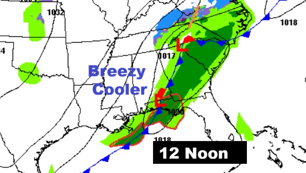
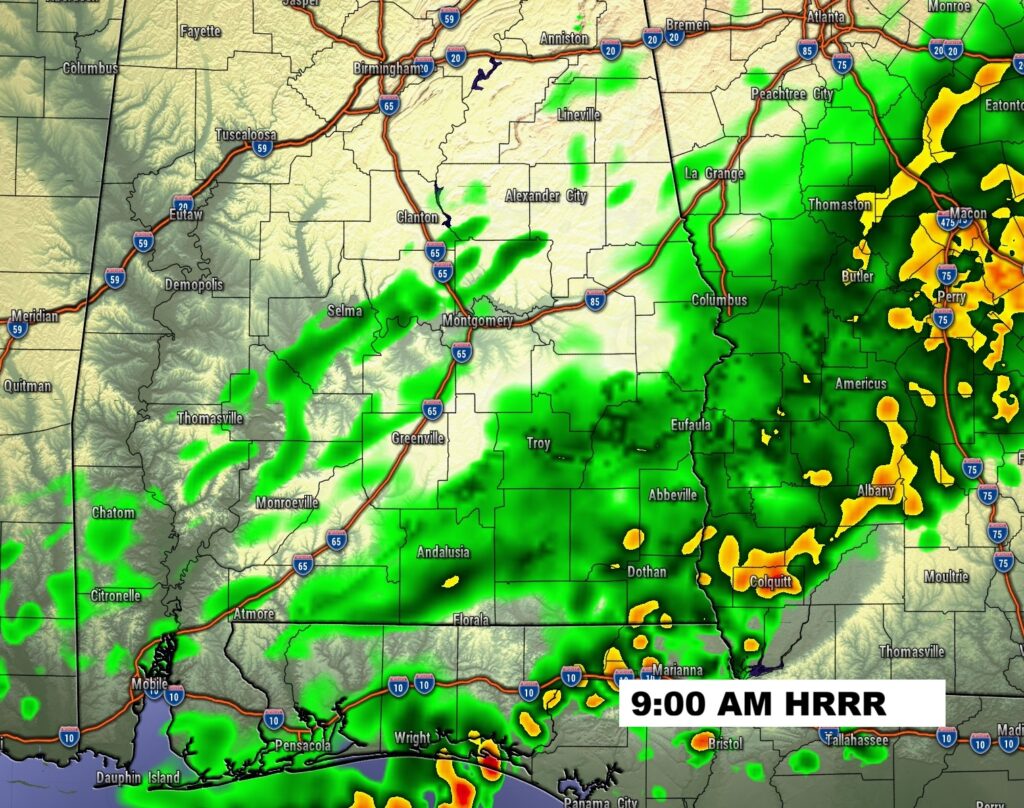
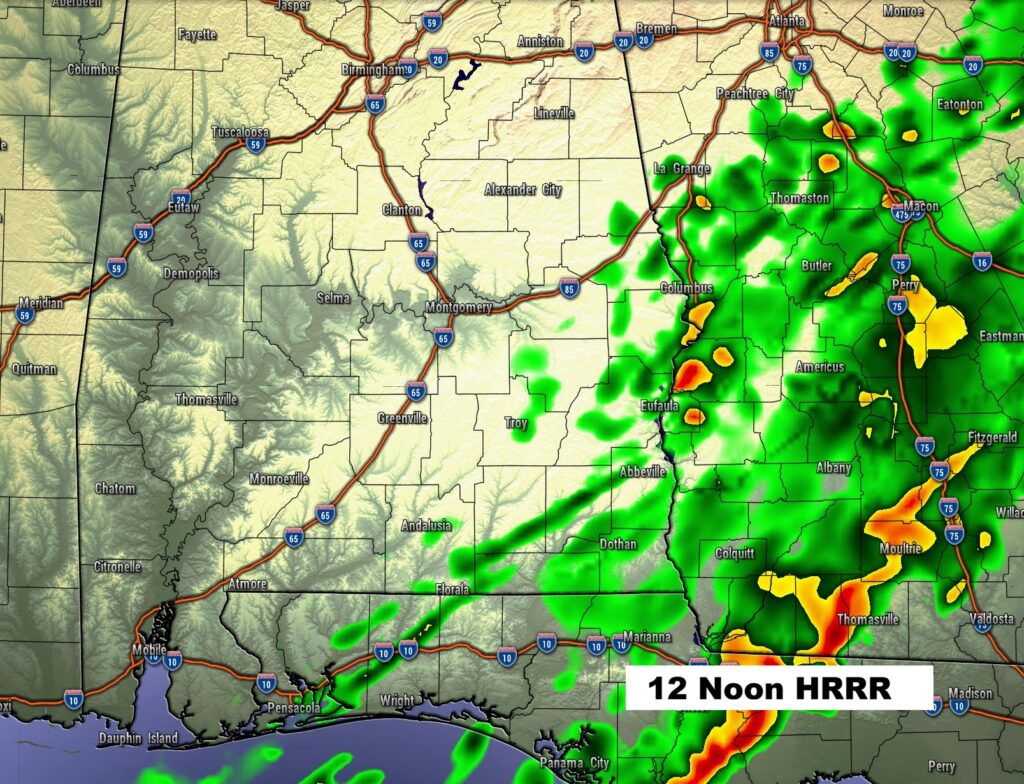
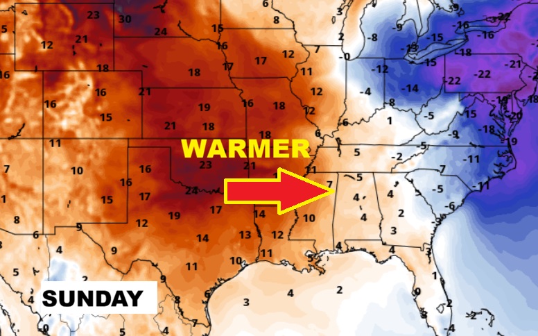
Good Morning! It’s been wet overnight with a steady band of light rain. A cold front is sweeping through the state. The risk of rain will end this morning. After 69 yesterday, today will be breezy and cooler with falling temperatures. We’re headed for another freeze tonight. Thursday will be sunny and way below normal with highs in the 40’s. This will be a rather brief temperature set-back. There is a major temperature re-bound in our future. Highs 60+ begins Friday. We’re looking forward to the nicest weekend forecast of 2026 so far. It appears that the Arctic Floodgates will close for several days. The 16 day model ensemble forecast shows an extended milder trend. Here’s my brief video forecast discussion.
TODAY: Risk of leftover rain in the morning. Otherwise, mostly cloudy. Breezy and cooler. Temperature falling to 48 by 4PM. West wind could gust as high as 20 mph.
TONIGHT: Mostly cloudy, breezy and colder. Low 28. NW Wind gusts as high as 20 MPH.
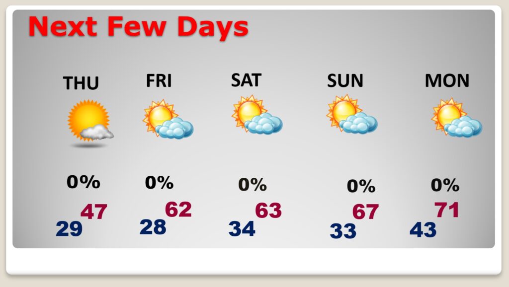
NEXT FEW DAYS: Thursday will be sunny and way below normal with highs in the 40’s. This will be a rather brief temperature set-back. There is a major temperature re-bound in our future. Highs 60+ begins Friday. We’ll be well into the 60’s Saturday and Sunday. Perhaps 70+ by Monday. A February thaw is in our future.
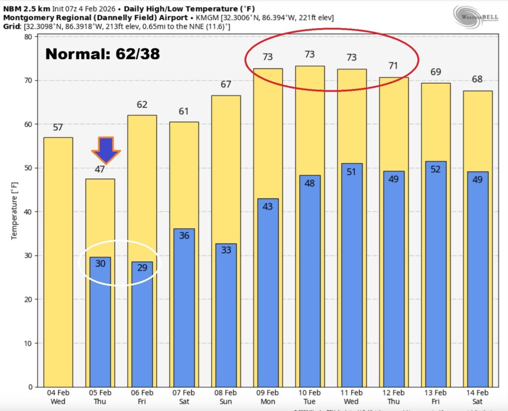
The 10 Day model Blend Temperature Trend. The future looks much more reasonable. Some nicer temperatures are on the horizon.
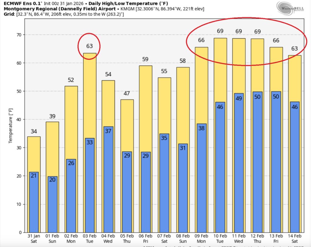
Here’s the EURO 16 day Ensemble temperature outlook. February thaw ahead.
.
DAYS TILL SPRING: 45 days!
Thanks for reading this Blog this morning. This morning we are LIVE on the radio from 6 to 9 on NewsTalk 93.1. I’ll have another update for you in the 4 o’clock hour tomorrow morning. Have a nice day.
–Rich