
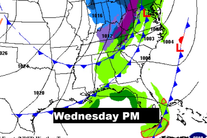
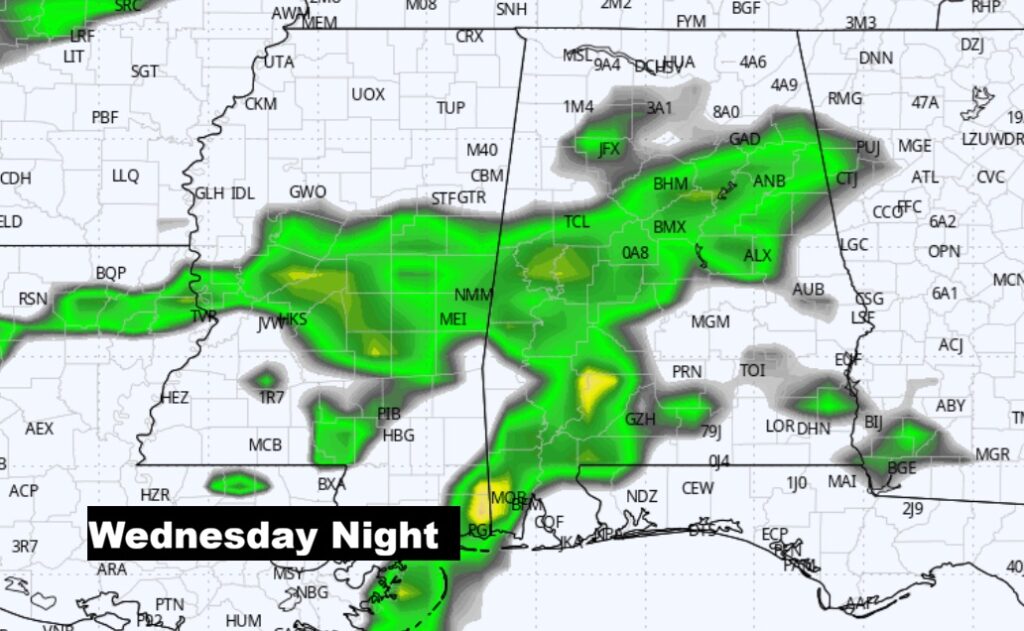
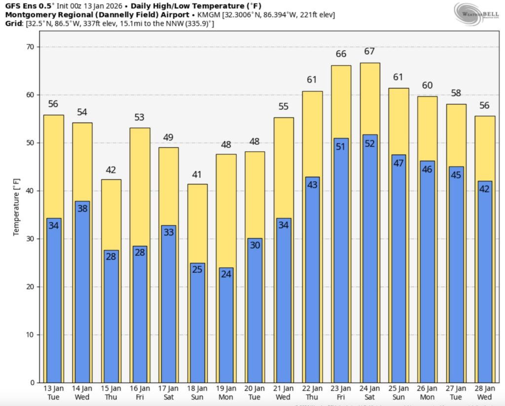
Good Morning! There’s a lot of ups and downs in our future temperature trend. We’ll recover back to the 50’s today and Wednesday. But, there’s more changes ahead. Another Arctic Cold front will move through the state Wednesday night, ushering in the coldest air of the season so far. There could be some spotty showers Wednesday ahead of the front. Otherwise, it’s a dry forecast. Yet another reinforcing shot of cold air will arrive over the weekend. No major warming trends are in our immediate future. Here’s my brief video forecast discussion.
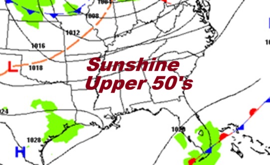
TODAY: Sunny and not quite as cold. High 57. Light west wind. Increasing clouds. Low 37.
NEXT FEW DAYS: Another Arctic Cold front will move through the state Wednesday night, ushering in the coldest air of the season so far. There could be some spotty showers Wednesday and Wednesday evening. Otherwise, it’s a dry forecast. Yet another reinforcing shot of cold air will arrive over the weekend. No major warming trends are in our immediate future

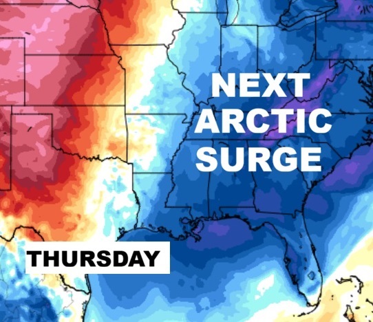
Here’s the model blend 10 day temperature trend. There will multiple Arctic Temperature set-backs. Coldest air of the season so far with the next cold front arrives late Wednesday night. And, yet another “cold shot” over the weekend, by Saturday night & Sunday.

Here’s a peak at the EURO 16 day Ensemble outlook. It may be several days before temperatures go back above normal.
My house right now on this COLD Tuesday morning.
Thanks for reading this Blog this morning. This morning we are LIVE on the radio from 6 to 9 on NewsTalk 93.1. I’ll have another update for you in the 4 o’clock hour tomorrow morning. Have a nice day.
–Rich