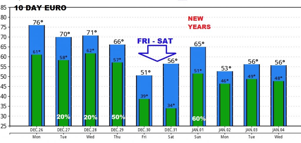
Good morning!…Following a historic Christmas Weekend, with temperatures soaring to record levels… Christmas Eve’s high was 79, followed by the warmest Christmas Day since records began, with 82° at the Montgomery airport. Records began 144 years ago. Today will be warm, but not as warm. We have 2 cold fronts in our future. The first arrives Thursday with scattered showers. The second will sweep through the area around New Years Day with showers and thunderstorms. Temperatures will take a big dip late week.
TODAY AND TUESDAY: Mostly cloudy today, but it should be mainly dry across the state. Still very warm for December: High 74. (The normal high is 58) Spotty showers will be around Tuesday with low 70’s. Many folks will be traveling today. A big storm will affect the Great Lakes and upper Midwest moving eastward.
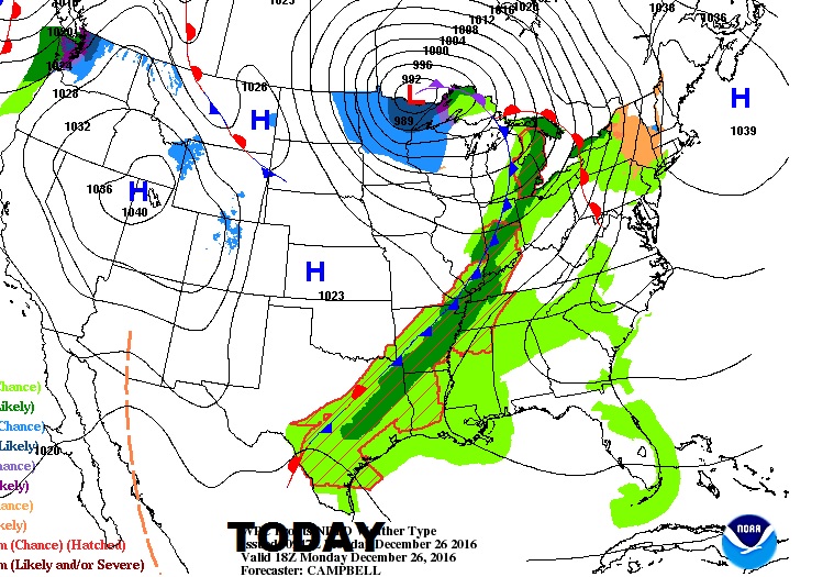
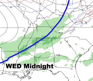
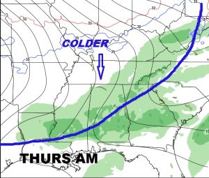
LATE WEEK FRONT: Scattered showers will increase Wednesday night into Thursday as a cold front moves through. Friday and Saturday will be much cooler, but not too cold…just closer to normal for this time of year.
NEW YEARS STORM SYSTEM: Another stronger front moves through the state late New Years Eve into New Years Day with showers and thunderstorms. Then, expect another temperature plunge during the first week of the year. Here’s a peek at the Euro global model for the next 10 days which appears to have a good handle on the forecast trend.
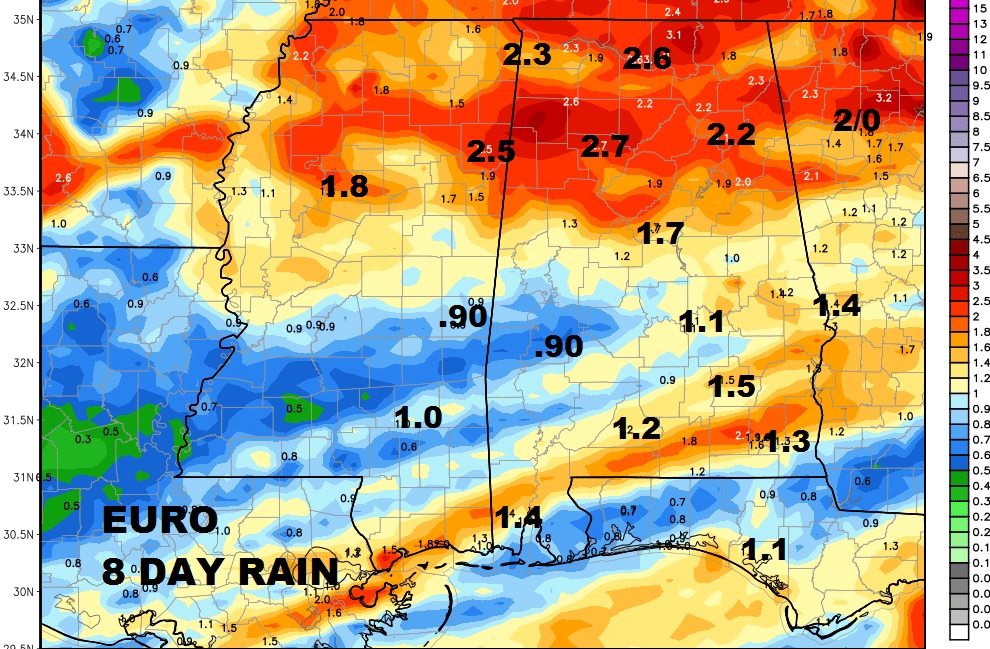
HOW MUCH RAIN?: Decent rain totals are a good bet next 7 days, with 1” to 2” for many of us. Higher totals are expected across the northern half of the state.
VIDEOS RETURN TOMORROW: Many of you have this day off today, as the extended Christmas weekend continues. We will get back to a normal schedule in the morning, with your next video briefing online by 5AM. Anybody store-bound to exchange gifts today? I’ll leave you this morning with this beautiful Lake Jordan Christmas Eve sunset, sent to us by our friend Lisa McMillan Gilliland.
