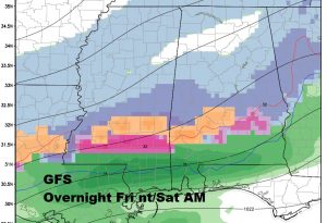
TUESDAY VIDEO UPDATE (5:00AM 1/3/17) Good Morning! The prolific and historic rain is moving away. The storm system killed 5 in Alabama and Florida. Big damage on our coast, too. Next on the menu: Much colder air. In fact, what you might call a winter blast, that will be around for the better part of 5 days from late this week till the first of next week. Could their be a little “winter mischief” associated with the cold air. I’ll have the latest on what we could see by Friday night, and the new cold numbers for your first full weekend of the New Year.
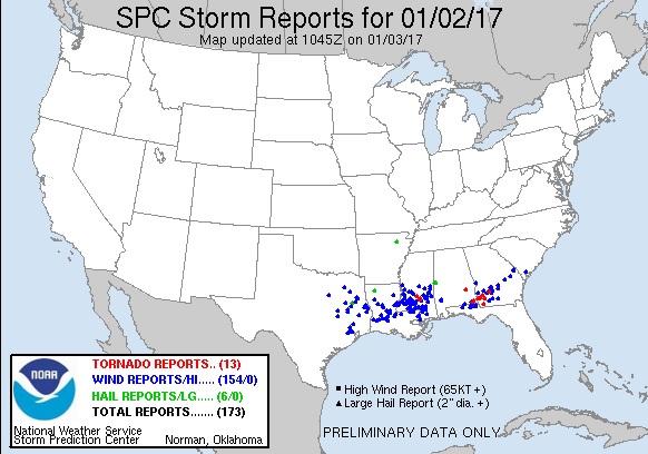
Busy severe weather day across the Gulf South yesterday. 13 tornado reports, and 154 wind damage reports. Survey crews will be out today.
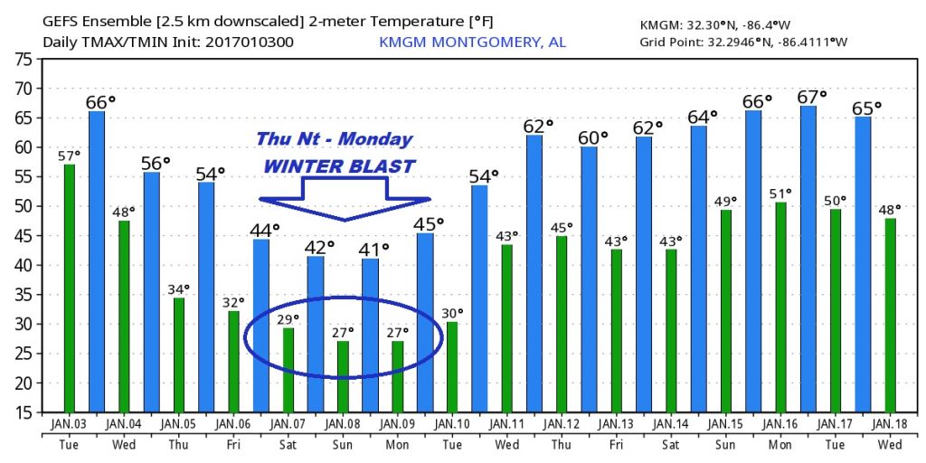
Looking Ahead: The Global models are advertising some really cold air ahead for late week and through the weekend. Here’s just a sample of one model. The GFS out 16 days.
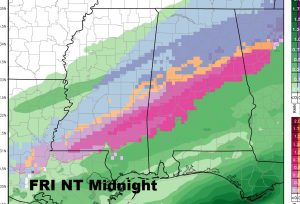
Could there be a little mixed precipitation late Friday night into Saturday AM? The models don’t agree on the details. It is possible, but it likely won’t be a big deal, and a lot of folks may be asleep if there are a few snowflakes mixed in with the rain. Here’s a peek at the Euro model.
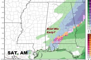
The GFS is slightly more bullish…
