…Multiple rounds of severe weather expected tonight through Sunday… Round one tonight will be a relatively “low end” threat with damaging winds, and chance of a spin up tornado. But, the weekend threat level is higher, and could begin as early as Saturday morning. I’ll walk you through the timeline and the threats involved, plus the expected excessive rainfall totals through the weekend. Hope you have a couple of minutes to watch today’s morning weather briefing. I hope you have a good day!
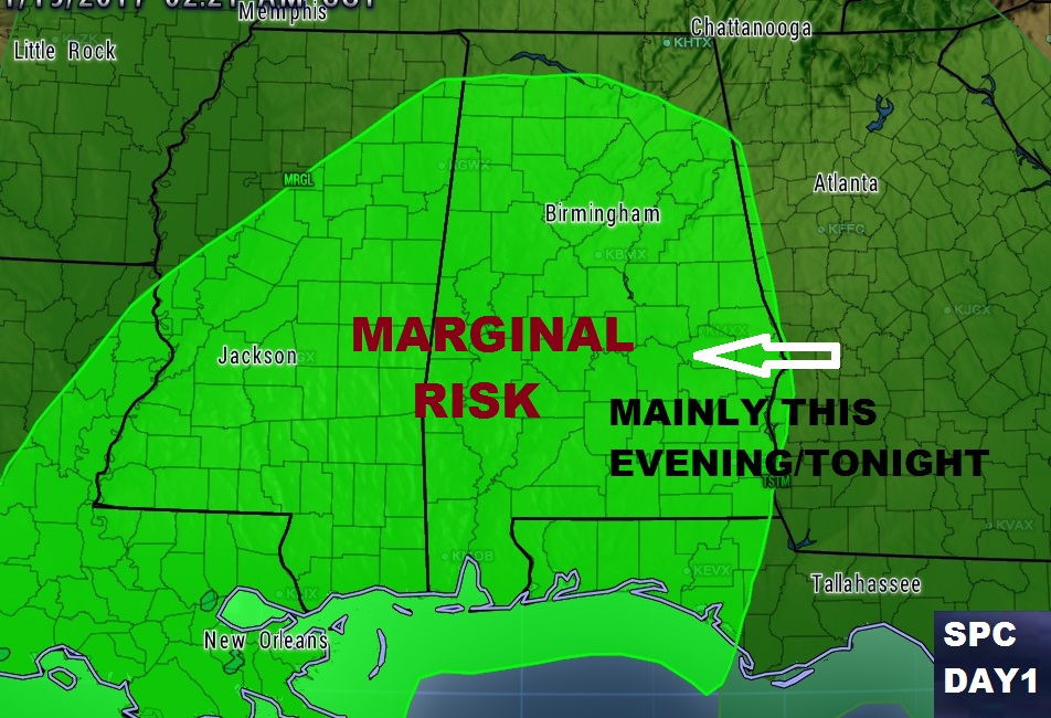
This evening/tonight’s severe weather threat will feature the risk for damaging wind gusts and perhaps a brief spin up tornado or two. A Marginal Risk from the Storm Prediction Center.
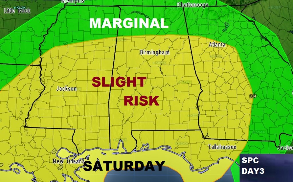
The Saturday/Sunday severe weather set-up is more complicated and could involve multiple severe weather rounds, perhaps beginning as early as the first thing Saturday morning. The threat continues into Sunday as well.
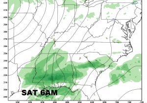
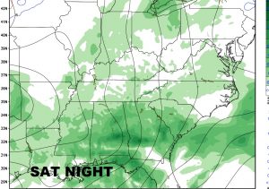
The weekend severe threat includes all modes of severe weather: Damaging wind gusts 70+ mph, Tornadoes, Large Hail 1″+ or larger. The “slight” or standard risk covering much of the state could be upgraded in future outlooks.
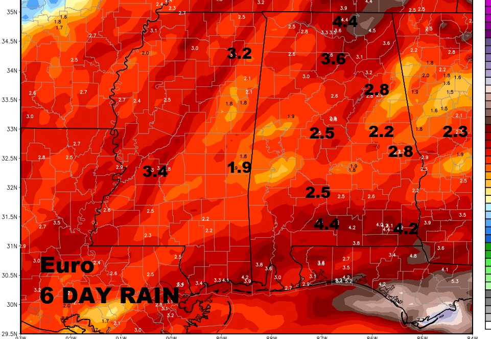
Rainfall amounts could be rather excessive in spots.
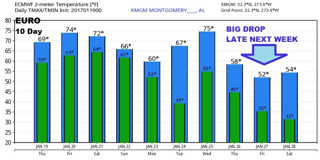
Much colder air is on the menu for the end of next week as the month of January ends. This could begin an extended period of colder air taking us well into February.
