
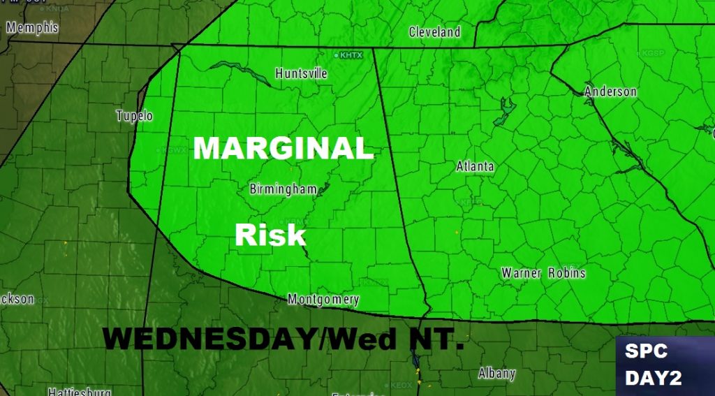
While the threat for severe weather continues to diminish this evening, the threat of a few stronger storms is still on the menu, especially again tomorrow and tomorrow evening as the main front approaches the area. The Storm Prediction Center again has much of the state in a Marginal Severe Risk. The threat of damaging wind gusts would be the main threat.
TONIGHT: Threat for showers/storms continue through much of the evening before ending. Dense fog areas developing overnight. Low near 60.
TOMORROW: Fog in the morning. Mostly cloudy and warm. Mid 70’s for a high. Spotty thunderstorms develop tomorrow and tomorrow night. A couple could be strong with damaging wind gusts. Low Wednesday night 51.
LEE COUNTY DAMAGE: Possible Tornado in Opelika: Extensive damage just south of I-85. 1 person was injured by flying debris at a self-serve car wash. 2:53PM
VIDEO IN THE MORNING: Lots of weather changes next few days. I’ll walk you through the details through the weekend, including an update on tomorrow’s severe weather threat on your morning video briefing, online by 5AM. Have a good night. Our thoughts are with the people in and around the New Orleans area who had a tough day today. Numerous tornado touchdowns. Lots of damage. At least a dozen injuries.